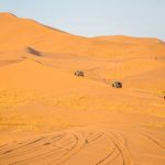
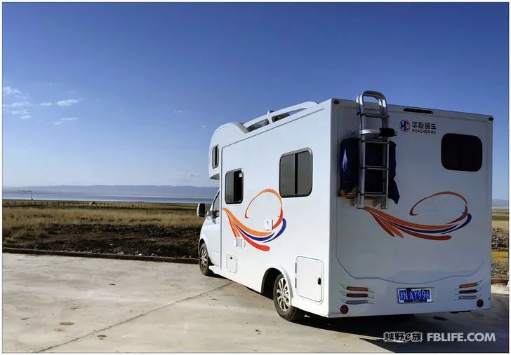
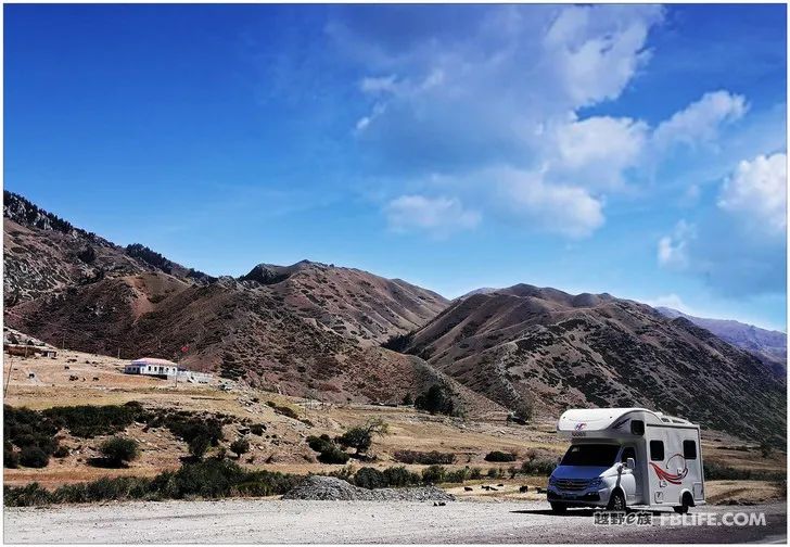
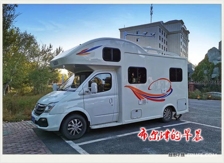
As soon as yesterday passed, the memory rushed to catch up. It took 37 days to drive 16,000 kilometers, and the trip to Xinjiang, which turned east, south, west, and north, was finally successfully completed. I used a RV for this trip, brought my family (six people), did not stay in a hotel for a day, and ate at home every day, which was also very comfortable and comfortable. I used a camera (1Dx 28-300) and a mobile phone (Huawei D30) to take pictures during this trip. The quality of the mobile phone is good, the pictures are clear, and it is easy to upload. You can report your whereabouts at any time and communicate with your friends. The camera is still the main weapon, with higher quality, and the capture does not run away, which is beneficial to the later stage.
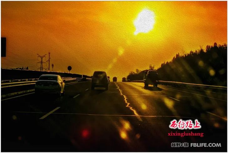
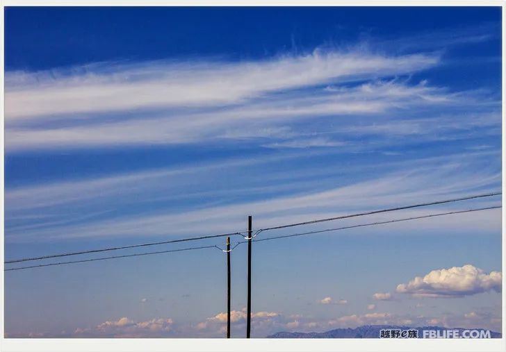
I originally wanted to do what I did in the past when traveling this time (but this time I brought family members, which is a bit discounted): 1. Don’t enter scenic spots, don’t take pictures with the flow, those people who are familiar with the landscape should turn a blind eye. 2. Don’t be an amateur tour guide, don’t make talkative introductions. Traveling has become the norm for the public these days, and it’s easy to switch to filming wherever you go. Just take some gaudy or dark photos, and then click on the vocabulary on Baidu, and feel like you have become a travel photographer, but no one actually needs it! 3. Most of my photos are taken in the car. When I go out, I love to take pictures of the scenery along the way! I thought that even though all of us are shooting small landscape films, we still need to have a certain vision, a certain feeling, and pay attention to some lighting effects when making a film. A good camera with a long lens is especially useful at this time!
From Tianjin to Xinjiang, you must pass Zhangjiakou on the Beijing-New Line. I visited an old friend. In the courtyard, I got off the car and set up a stove outside the car to cook the pot! The next day I said goodbye to my friends and headed west, the road was so long… I went to the countryside in Zhangjiakou and jumped in the line next to the Beijing Baotou line. I have never been to Chaigoubao. This time, I passed Chaigoubao, Datong, Baotou… All that was left was a puff of dust. There are many and very long roads in this section of Inner Mongolia, but I didn’t catch grasslands and grazing herds, they were all ordinary crop fields and ordinary houses. Some of the tree paths on both sides are very lush and some are very sparse, and they also have some scenery. I am familiar with the name of the city Wuhai, because there is a bus from Tianjin Station to Wuhai West, and I have taken it to Zhangjiakou several times. In my opinion, Wuhai is a small city in a sea of sand, and it seems a bit unreasonable where to go. This time we traveled westward to Xinjiang and crossed Wuhai (and Shizuishan next to it), and found that these small cities are very beautiful. First of all, there is no shortage of water. There are many wetlands and exquisite buildings in the city, and the Yellow River has left a wide river and bridge. Following the road, we drove the car down the river beach, took a handful of river sand and waded in the river water, cheering for Haoye Kuantian!

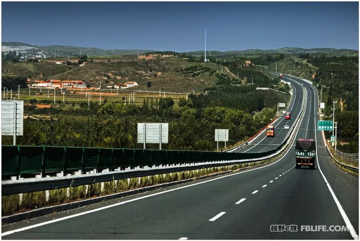
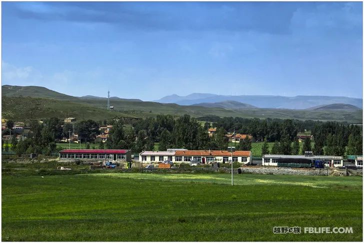
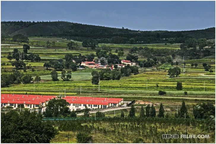
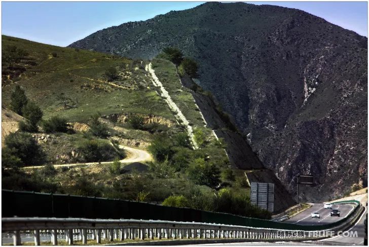
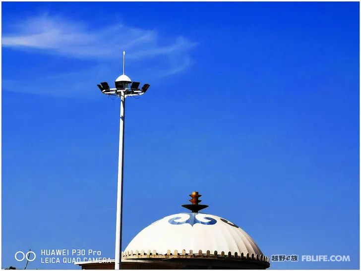
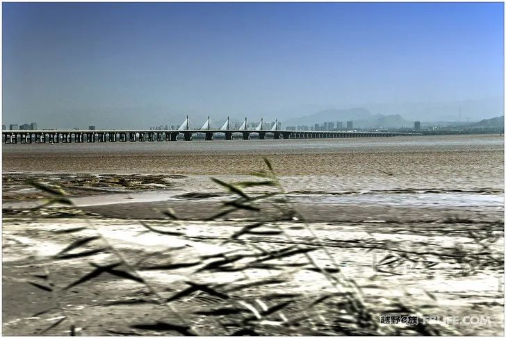
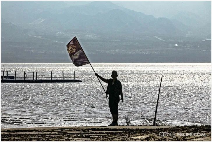
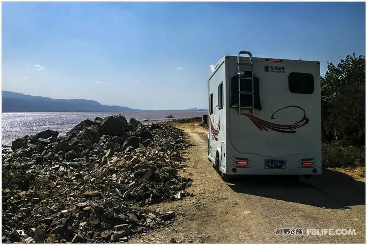
The regular route of the Beijing-New Line is to go through Bayannaoer, Baotou, Hohhot, and go west, passing through a deserted area of 500 miles. Due to concerns that our car would not be able to reach the next gas station, and in order to see more places and scenic spots (regardless of the time spent on fuel), we made a 90-degree turn from Bayannaoer and turned south, next to the Yellow River. Go to Chengkou Wuhai in the Hetao area. Before the road was about to turn, I saw a big sign leading directly to the North Road: Wuliangsuhai! Wuliang Suhai has heard of its name for a long time, and it is a famous name. But I have never understood it and have doubts: In the desert area, if you die of drought, how can there be a sea? Walking deep along the unremarkable highway, and walking for half a day to the entrance of the scenic spot, there are still a few unremarkable buildings (I even worried a little, will anyone come to such a place?). When I got into the scenic spot and got on the small train to Lila people, I walked for a while, and then I saw a vast lake competing for blue and greenery. The vast lake is so big and boundless. sea! There are yachts in the water, camels on the shore, and trestles. There are many tourists even if it is not a holiday. Finally, it became clear: Wuliangsuhai was formed by the diversion of the Yellow River, and the Yellow River is the mother standing behind her!
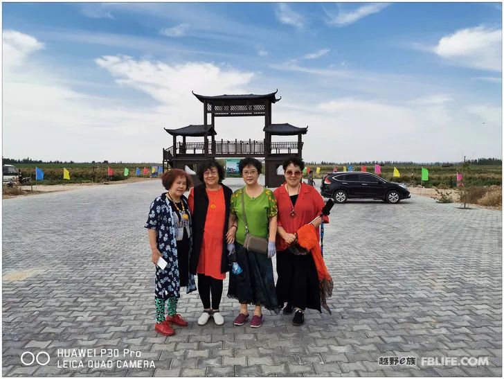
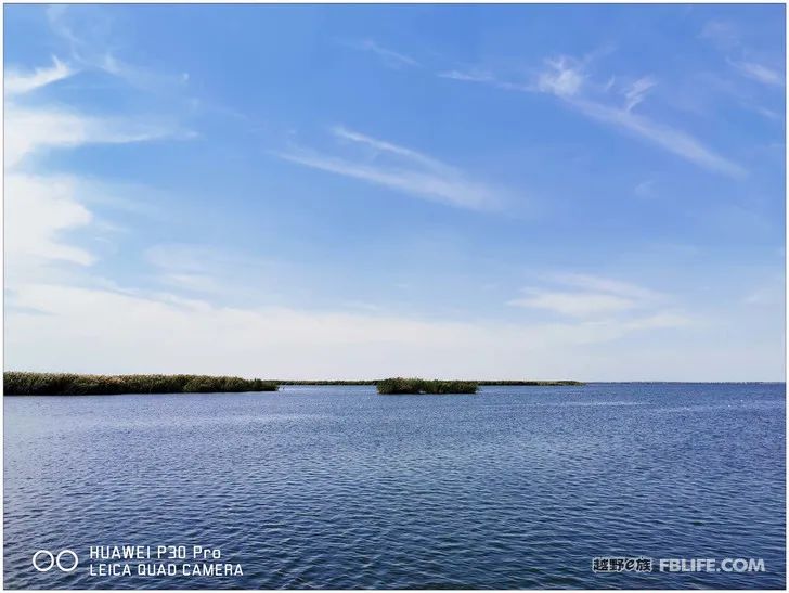
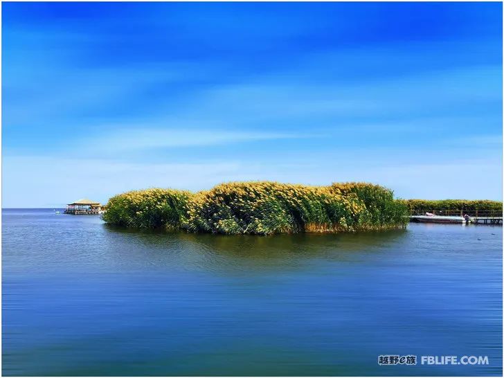
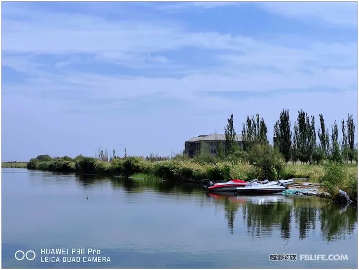
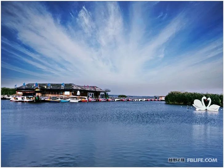
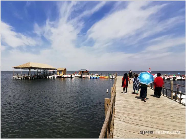
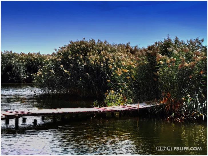
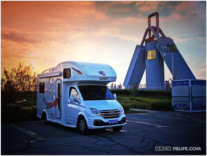
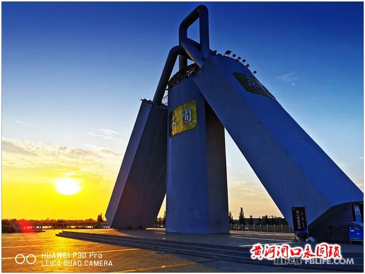
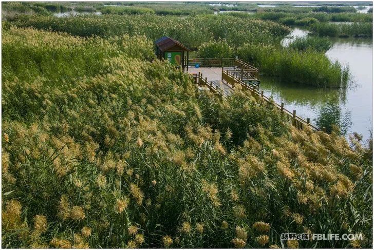
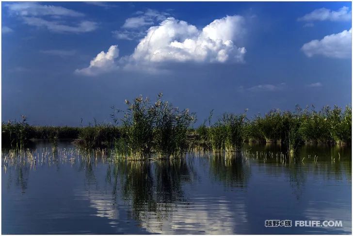
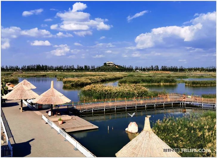
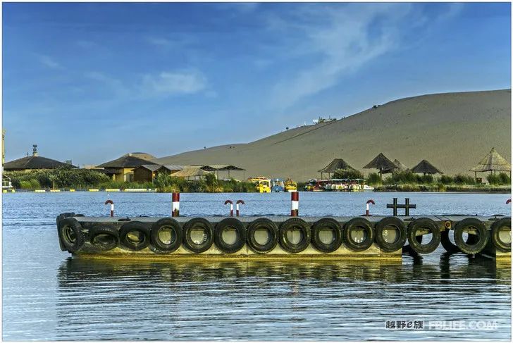
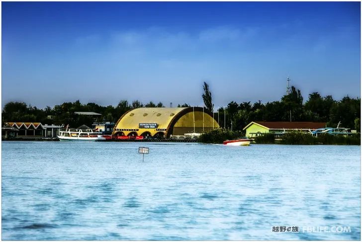
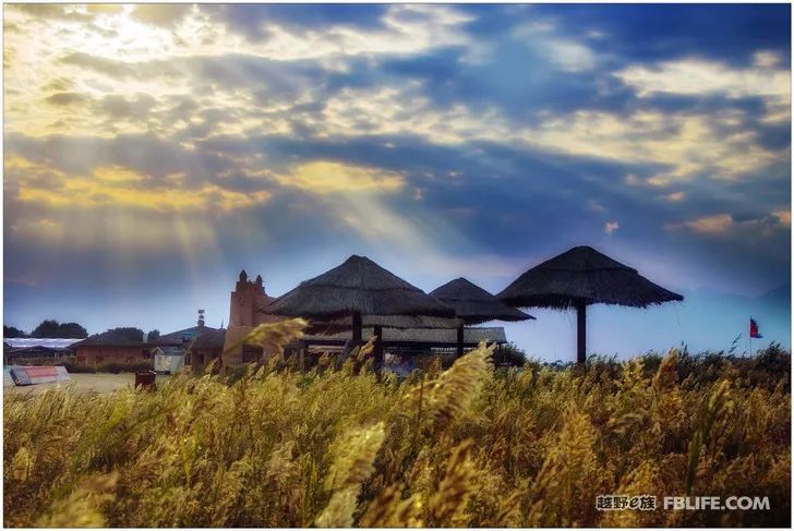
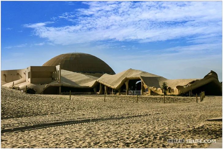
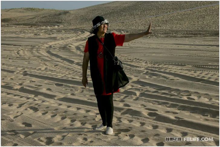
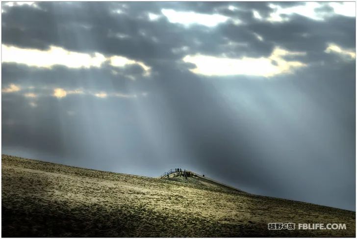
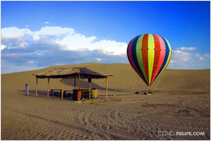
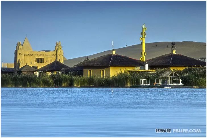
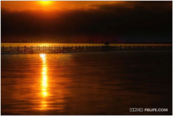
(Wuhai~Shizuishan) As I said before, for cities like Wuhai and Shizuishan in Inner Mongolia, people can easily associate them with deserts and droughts, but in fact they are nestled against the Yellow River. The Hetao area is blessed by nature. The city is full of water, lush greenery, and exquisite and unique buildings, which make people love it! Shahu is a water park in Shizuishan City, and it is also an AAAAA scenic spot. The lake is surrounded by sand mountains, where sand, water, reeds, birds and mountains are all in one. Touring the garden is mainly by boat, visiting a few small islands, and finally wading through the sand and climbing mountains, it will take more than half a day.
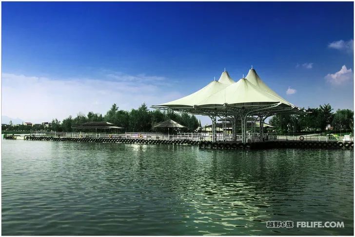
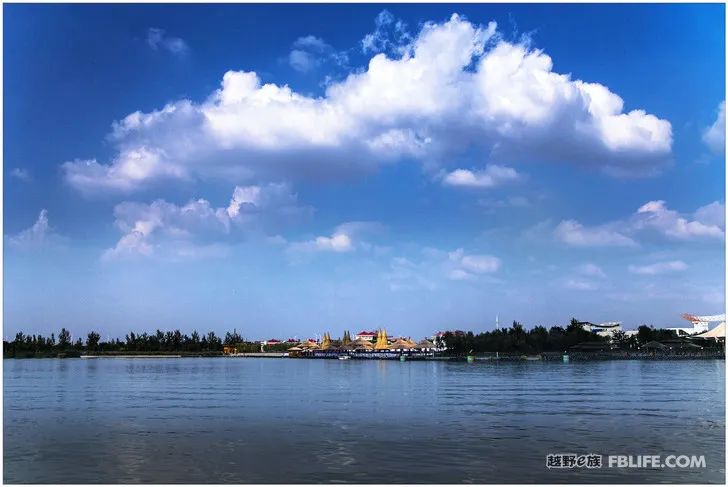
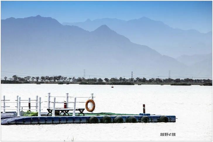
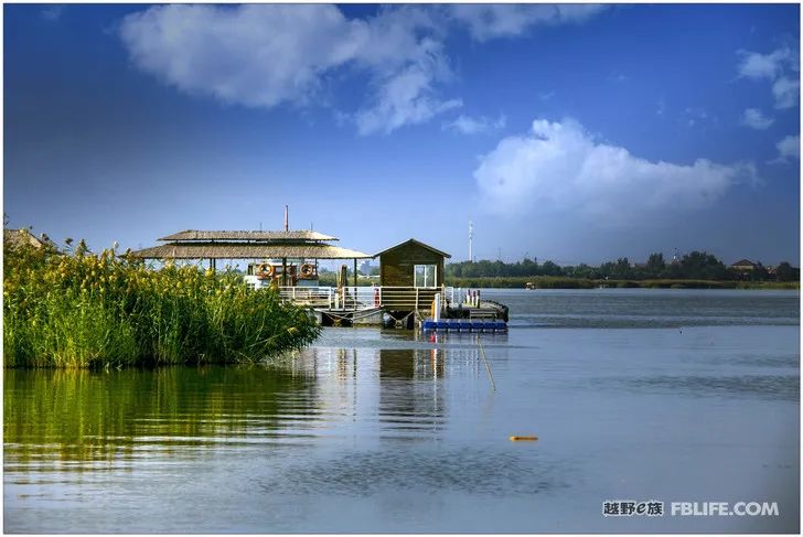
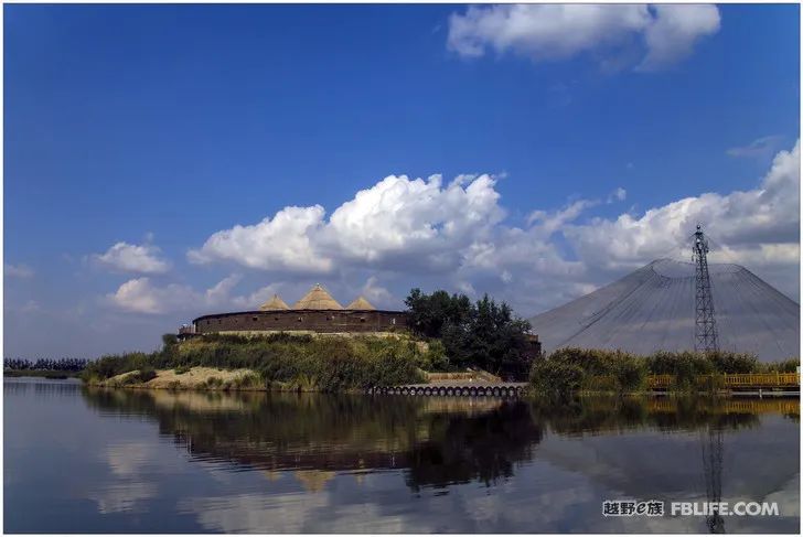
(Wuhai~Shizuishan) Exit
As I said before, cities like Wuhai and Shizuishan in Inner Mongolia are easily associated with deserts and droughts, but in fact they are nestled against the Yellow River, and they are all located in the Hetao area. There is water everywhere, shades and greenery, coupled with exquisite and unique buildings, make people love it! Shahu is a water park in Shizuishan City, and it is also an AAAAA scenic spot. The lake is surrounded by sand mountains, where sand, water, reeds, birds and mountains are all in one. Touring the garden is mainly by boat, visiting a few small islands, and finally wading through the sand and climbing mountains, it will take more than half a day.
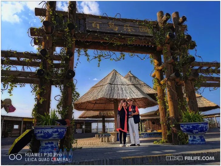
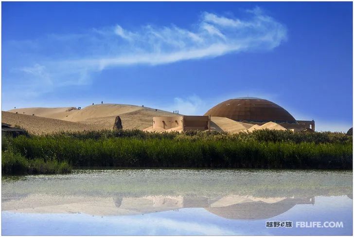
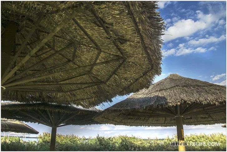
(Hexi Corridor section)
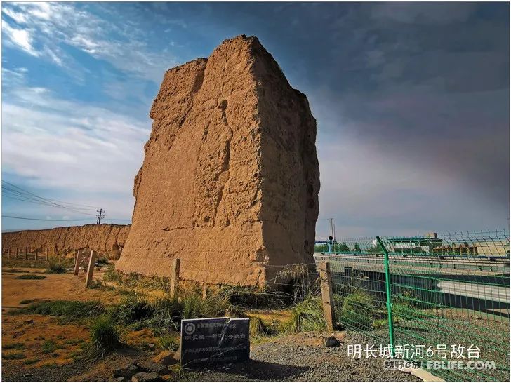
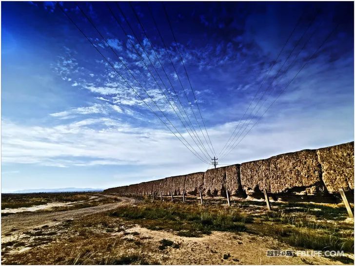
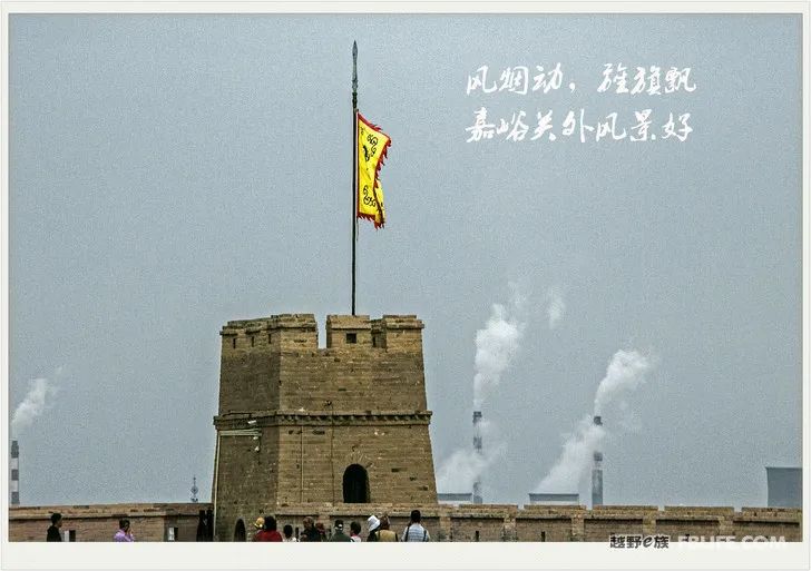
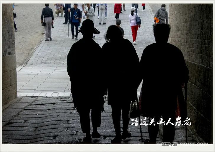
I have seen the Great Wall on the mountains, and this time I saw the Great Wall on the plains. At first, I just thought it was just an ordinary ruined wall and a fence for livestock. As the car drove endlessly, and they grew endlessly outside the car window, I suddenly realized that this is not the ancient Great Wall, right? I am so stupid! Only because we see the vastness, the Great Wall on the plain appears dwarfed. When we come to the front, every section of the wall, every crenel, still has a shocking momentum and admirable power in front of us modern people! The Hexi Corridor we are walking now, the vast Gobi, was a distant border in ancient times. Gold and iron horses, flames and smoke, the Belt and Road Initiative, silk brocades. The past is the cloud of history, and we who came here are all newcomers today, and we are proud of the Great Wall that has been passed down to today! We are all old too, not even as old as a piece of dirt or an old tile on the Great Wall, but our ambitions are still there, and we still have to cheer for the great fortune of the new great country!
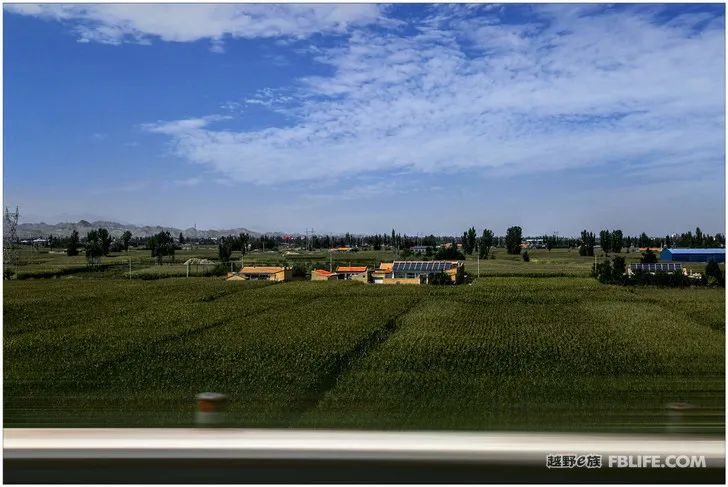
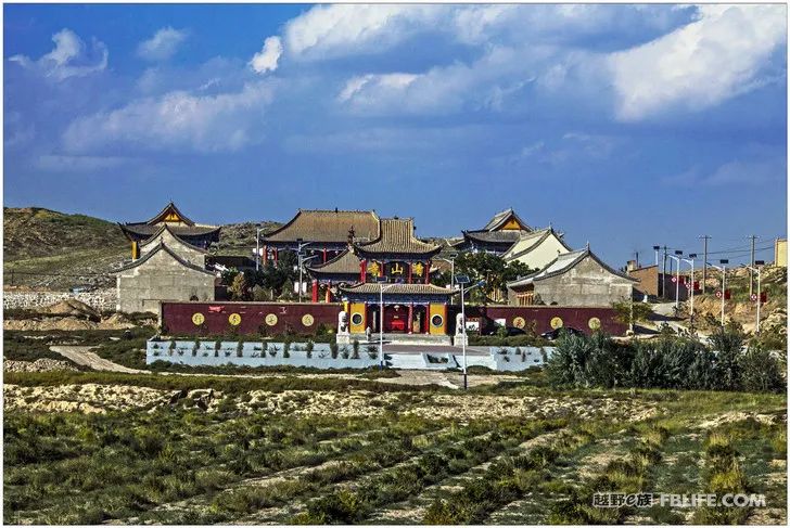
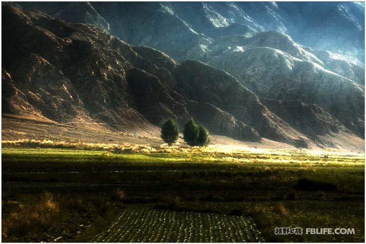
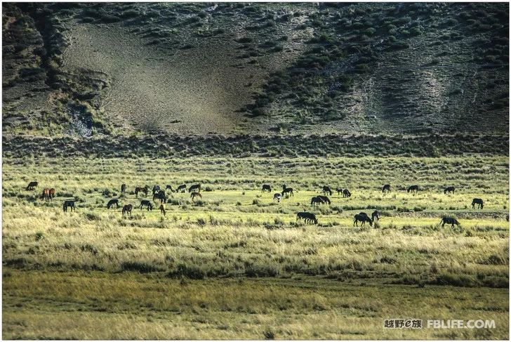
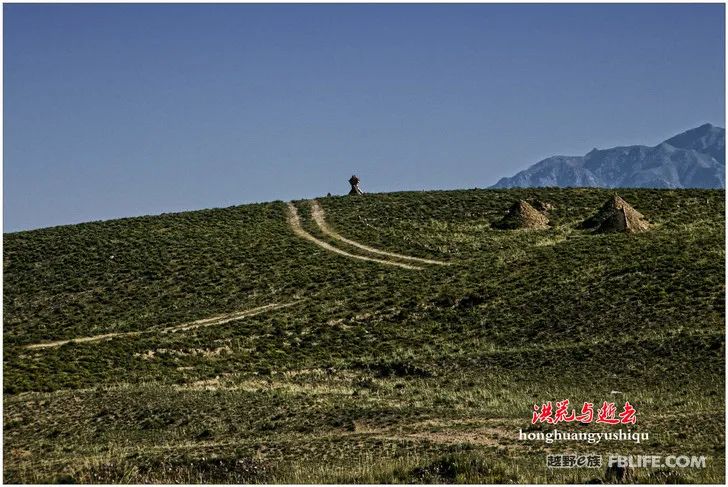
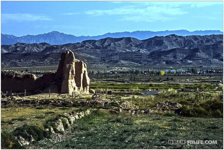
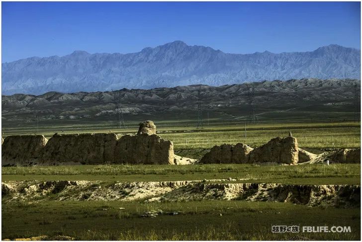
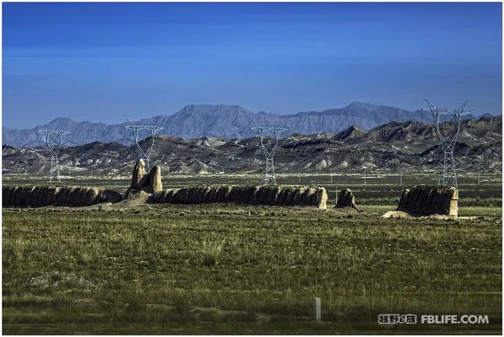
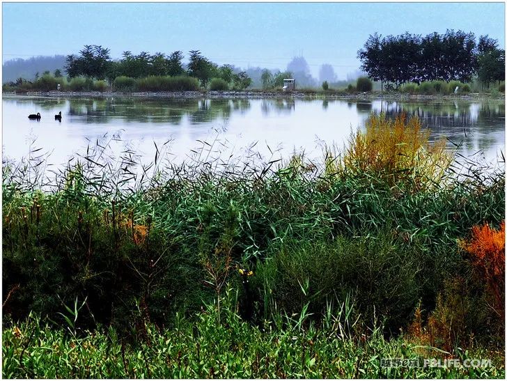
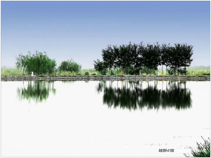
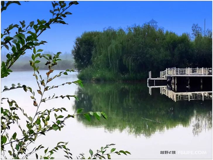
Zhangye Wetland Shot
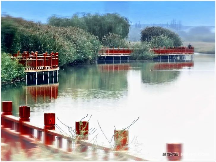
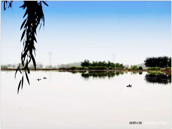
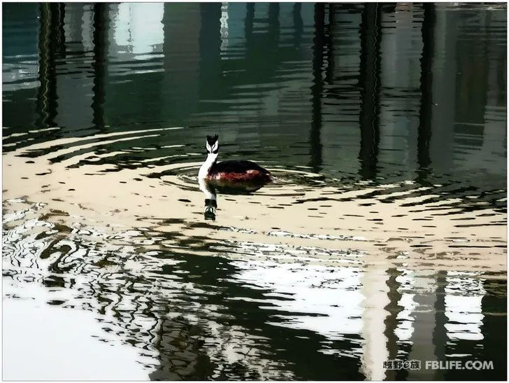
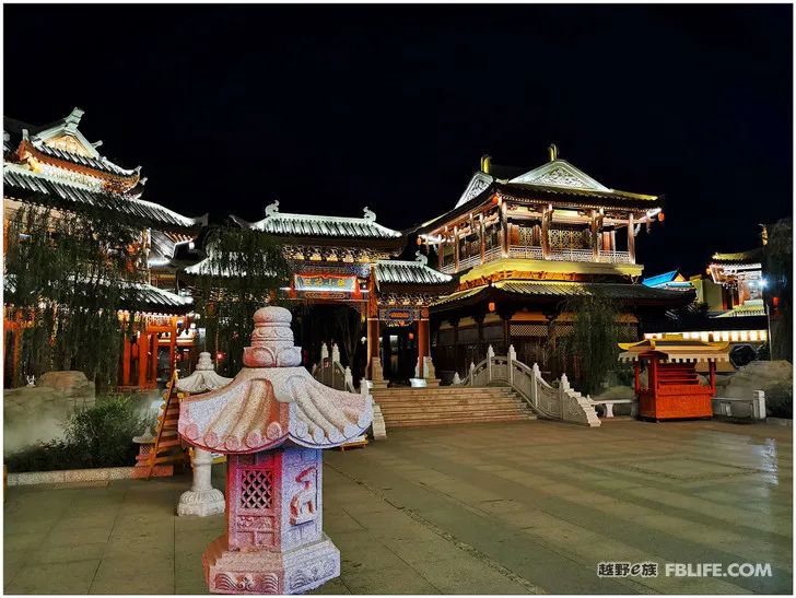
On the Hexi Corridor, we passed the Jinchang parking service area and did not enter the city, and Jiuquan also passed by in a flash. When I arrived at the Pinghu Grand Canyon in Zhangye, I parked in Zhangye overnight. After returning from Pinghu Grand Canyon, we entered the urban area of Zhangye in the dark, and finally parked at the gate of Zhangye Wetland Park. Get up early and take a look, wow, you can see the pond when you walk up, the reeds when you look up, the weeping willows, the boats are rippling… “If you don’t look at the snow on Qilian Mountain, you will recognize Zhangye as Jiangnan”, it really looks like a beautiful water town scenery! Because I was too busy to go further into the park, I only took a few small photos of floating heads, which should be used as souvenirs. The last three night scenes were taken near the parking lot in Jiayuguan.
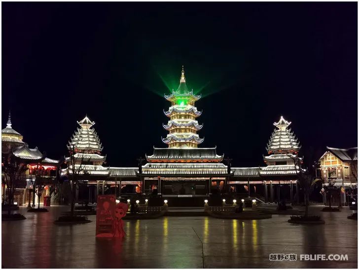
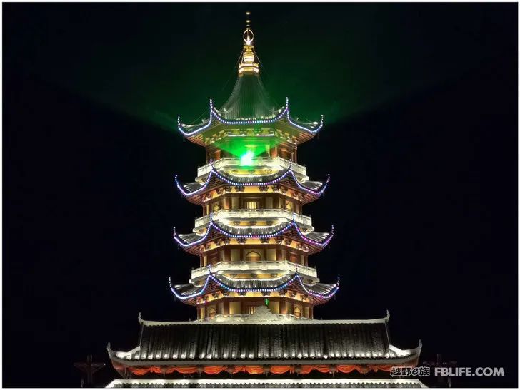
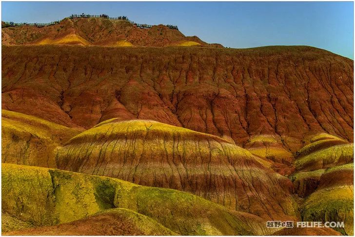
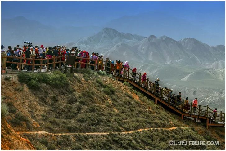
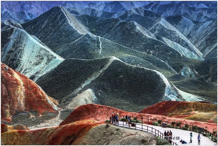
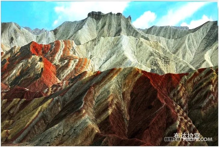
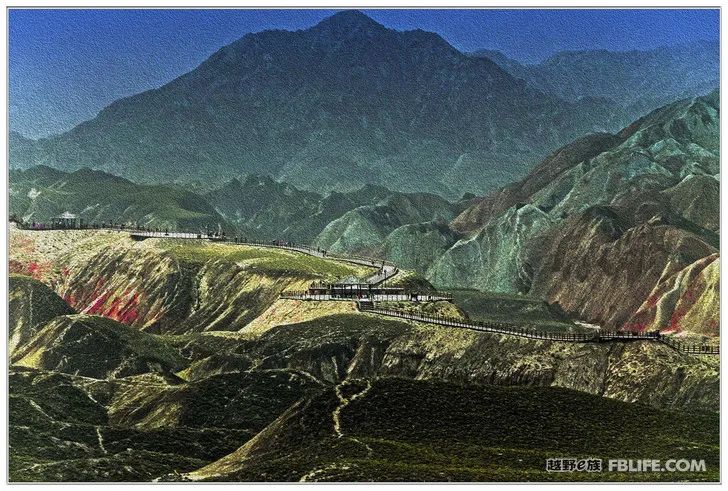
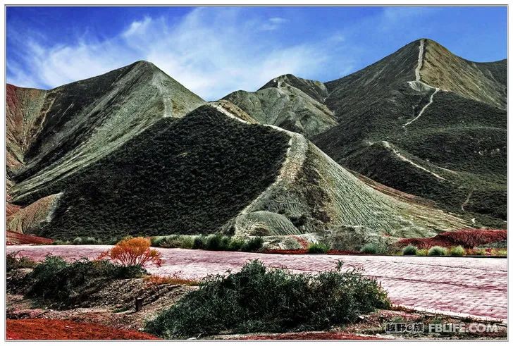
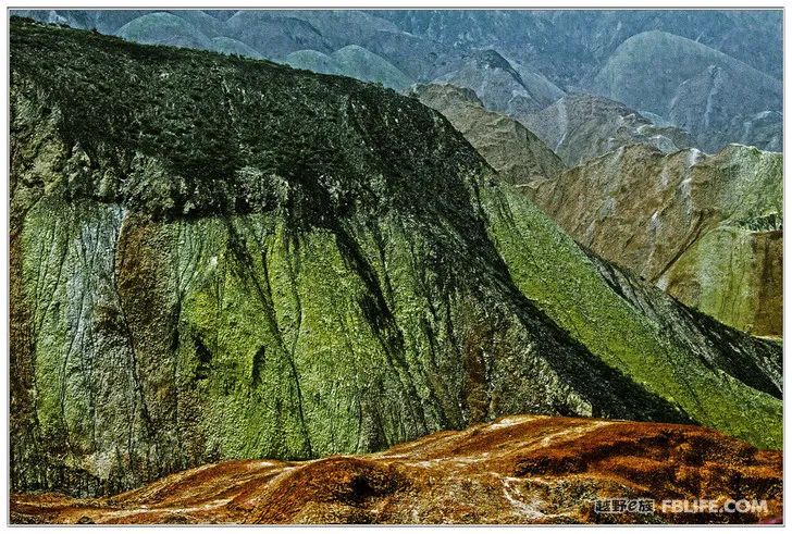
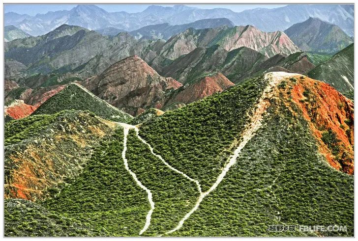
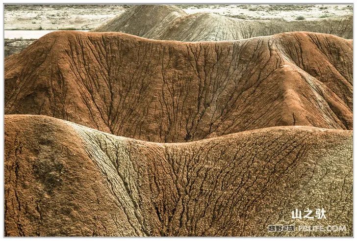
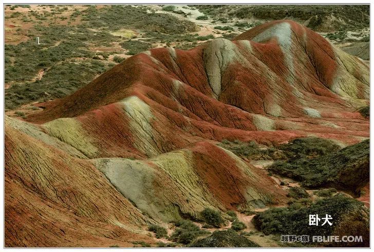
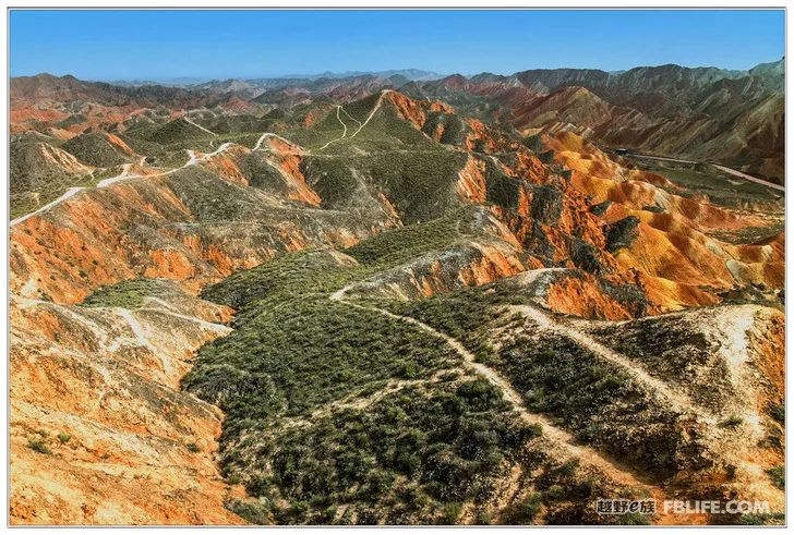
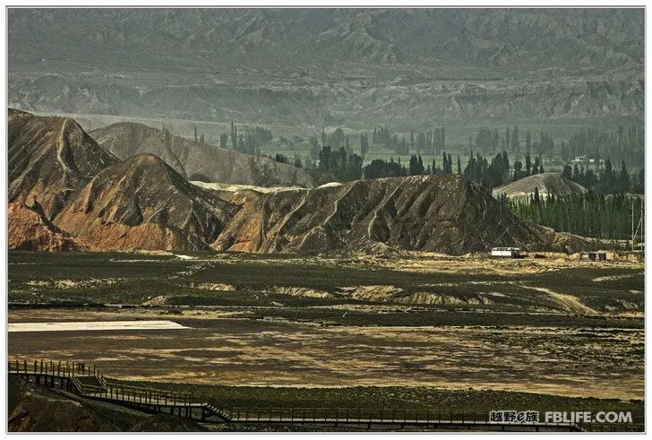
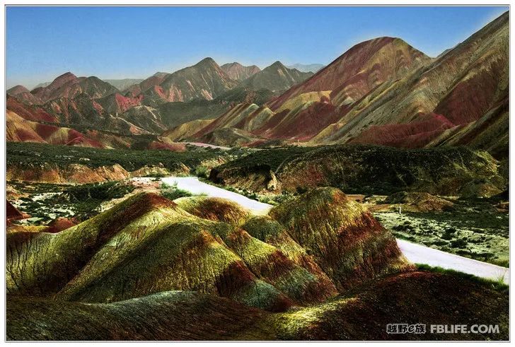
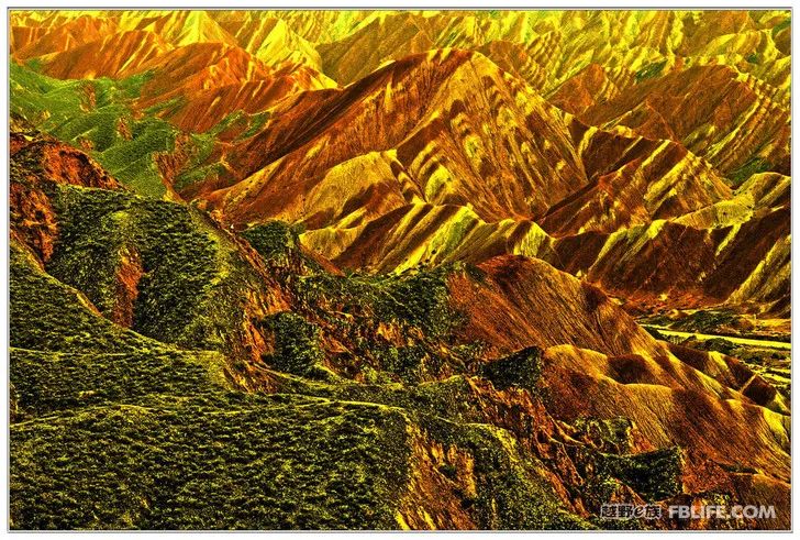
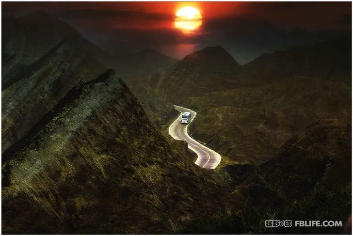
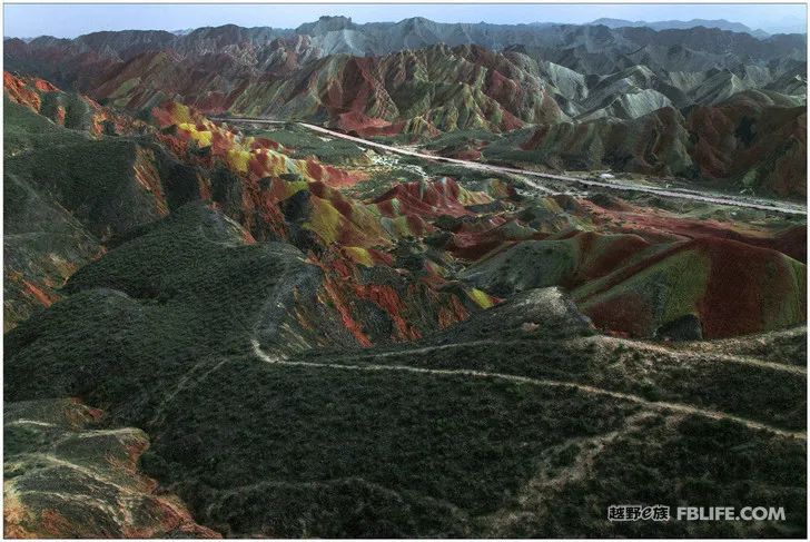
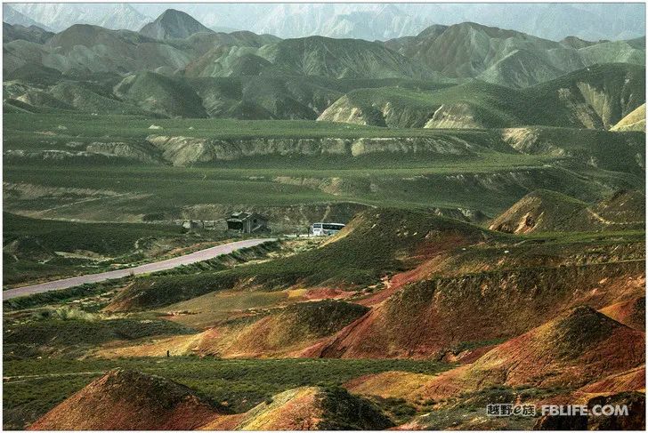
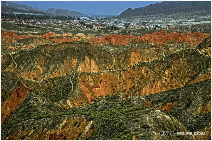
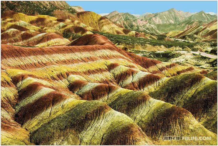
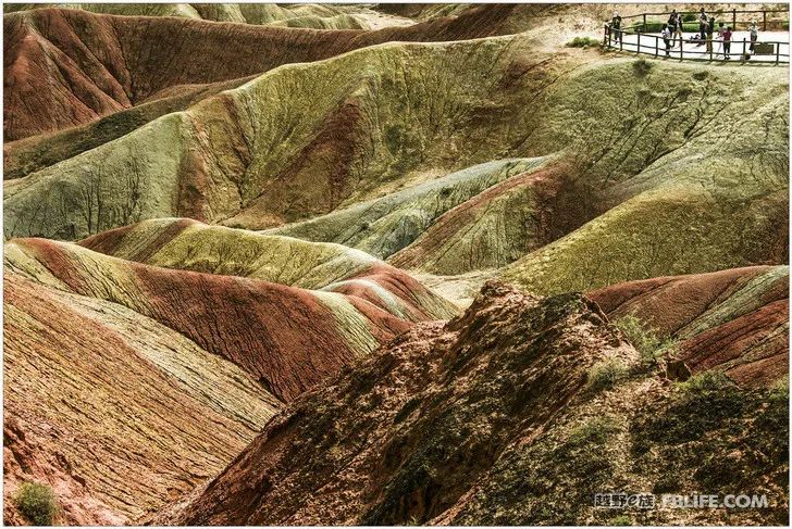
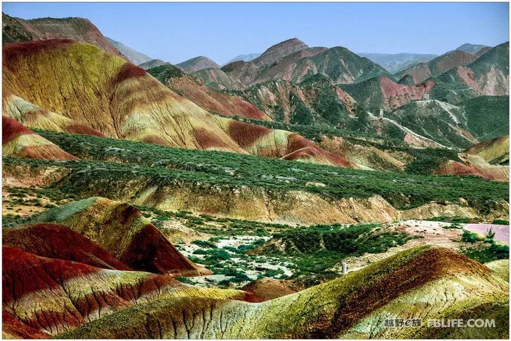
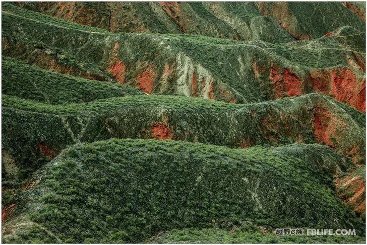
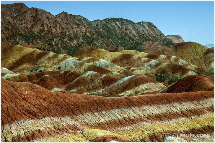
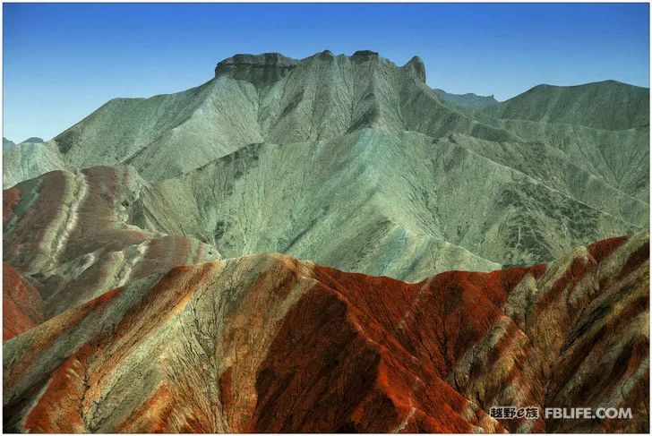
Zhangye Danxia Geological Park
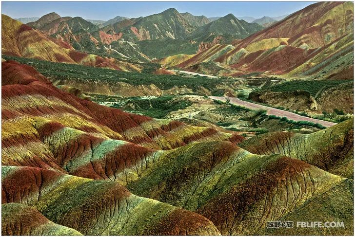
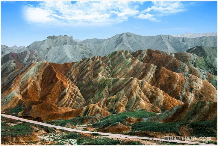
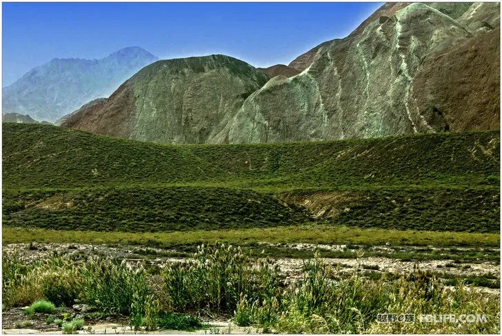
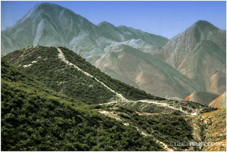
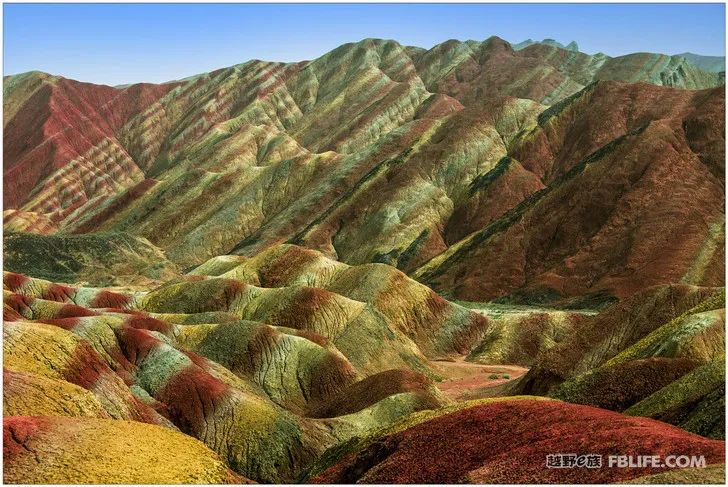
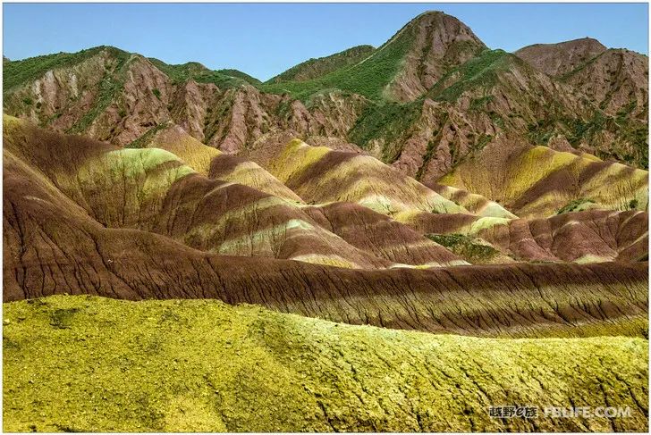
This place has to go if you don’t want to go, and you have to take photos even if you don’t want to, because it’s so famous and there are too many people who go there, so naturally the photos are taken with excitement, so let’s go there anyway, Take pictures, the most important thing is to bring your family! I’ve seen too many films about Zhangye Danxia, and some of them were full of brain blood and redness, but it’s far from exaggerated when I see it on the spot. We came here for the first half of the day with sand and haze weather, and the report was bad, but it was not good or good. Thank God for letting the sun come out in the evening, and the mountains are clear. I scrapped all the previous photos and took them again. Finally, I got something. May wish to tell you a secret, the photos turned into the current effect, it was done in post-production, no matter how good the weather is or how good the light is, if you directly take photos and send them directly, it will not be like this. Fortunately, art follows the beauty, the beauty is excellent, the beauty is the ultimate, presumably everyone will not object.
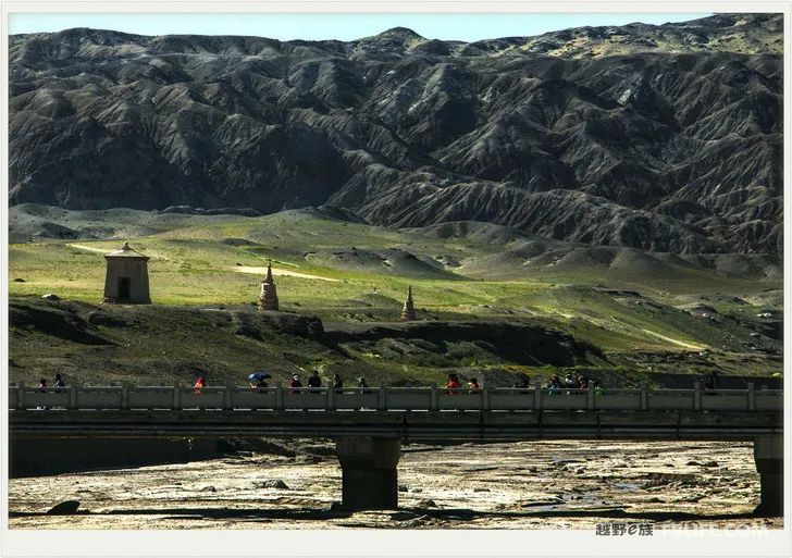
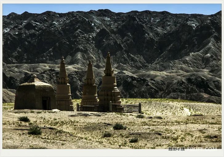
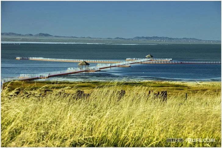
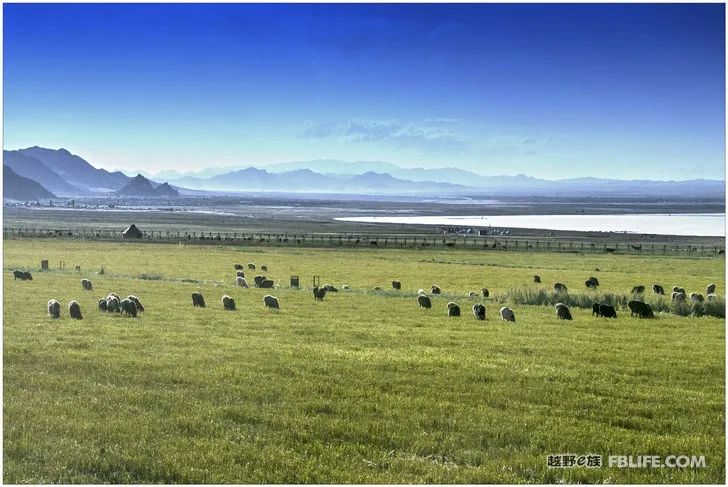
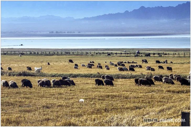
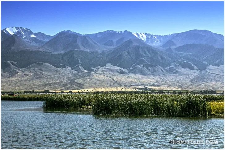
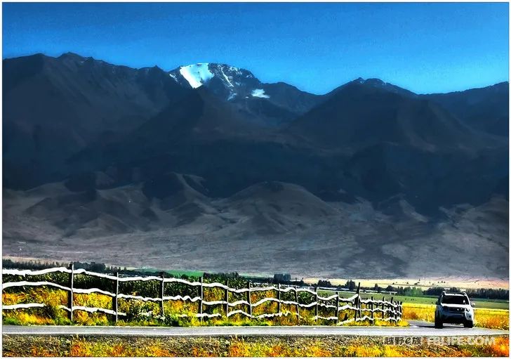
After passing Jiayuguan in Jiuquan, we went to Xinjiang for a further distance. In the car, we saw the snow peaks of Tianshan Mountain for the first time. It was far away, white and shining, and everyone in the car was happy to tell each other. The first city in Xinjiang is Hami, and Hami greeted us with her sweet cantaloupe. Going straight through Hami is Turpan, Urumqi, and the capital of Xinjiang. Instead of going straight, we got off the expressway and chose a road to turn right and turn north. We entered the mountain and exited the mountain, heading for Balikun Lake in Balikun Kazakh Autonomous County. Half of the Barkol Kazakh Autonomous County is mountainous and the other half is flat plains. There are forest farms and lush trees in the mountainous areas, and the flat plains are either farming or animal husbandry. The herds are cruising in the mountains, and the prosperous and luxuriant scene can be seen everywhere in Pingchuan… At the foot of the distant mountain lies the quiet Balikun Lake. Passing through the village by the lake, we drove directly into the scenic spot by the lake. There are not many tourists, and the scenic spot It is free and open. It was windy and cold at night, and all the cars ran away. Only our two RVs were left, sleeping with the sound of the waves in the lake, which was a special mood.
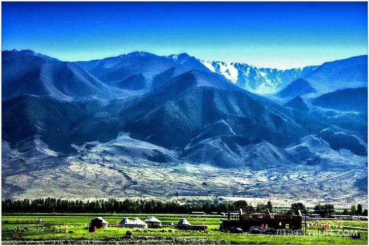
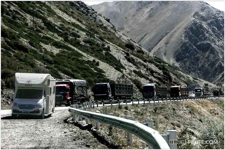
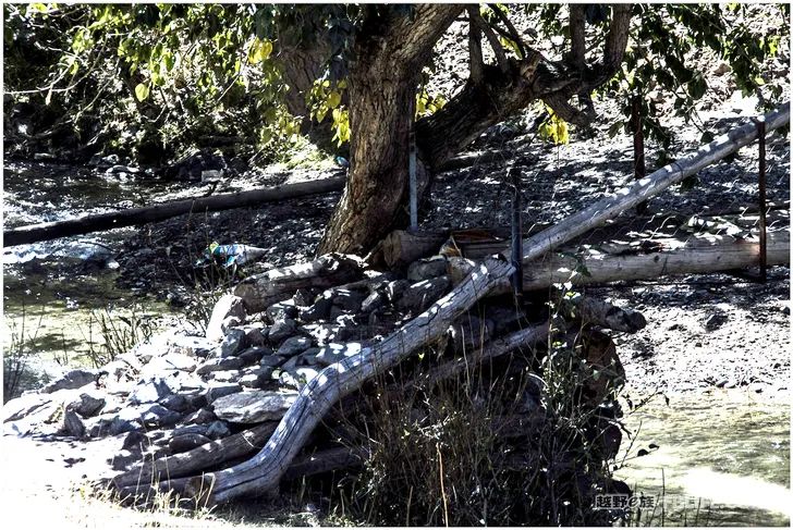
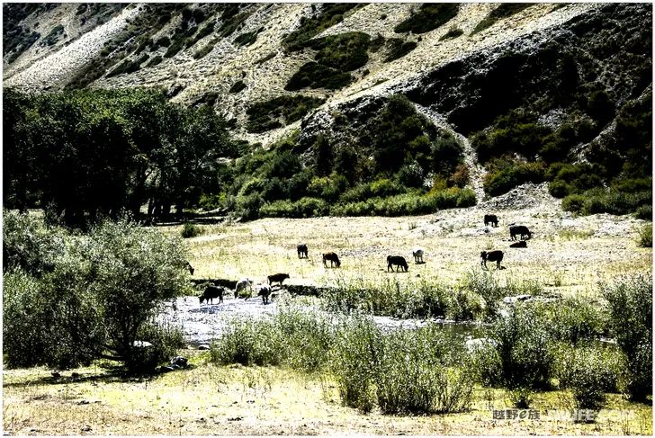
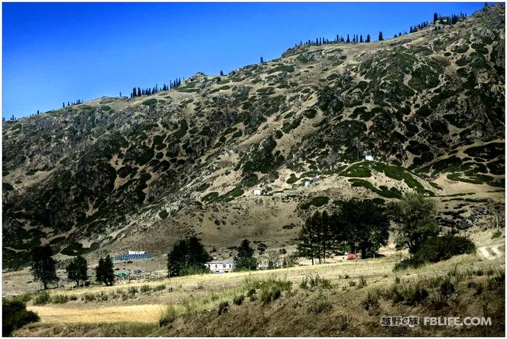
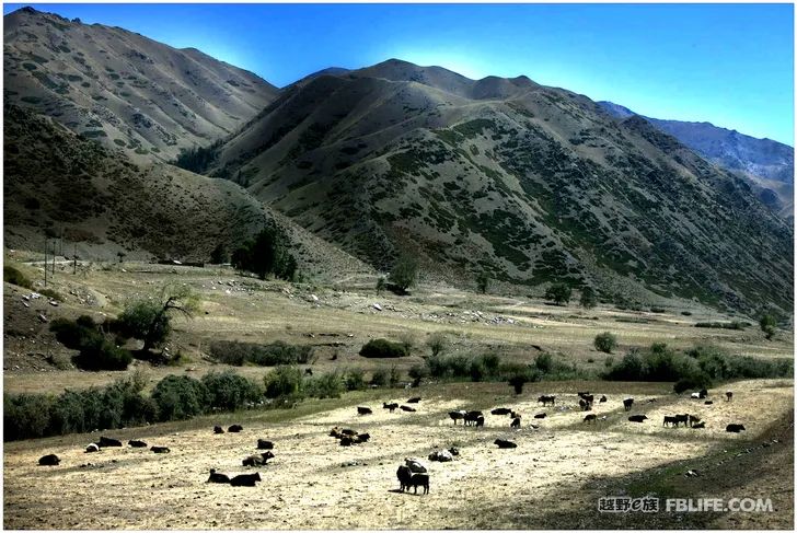
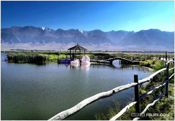
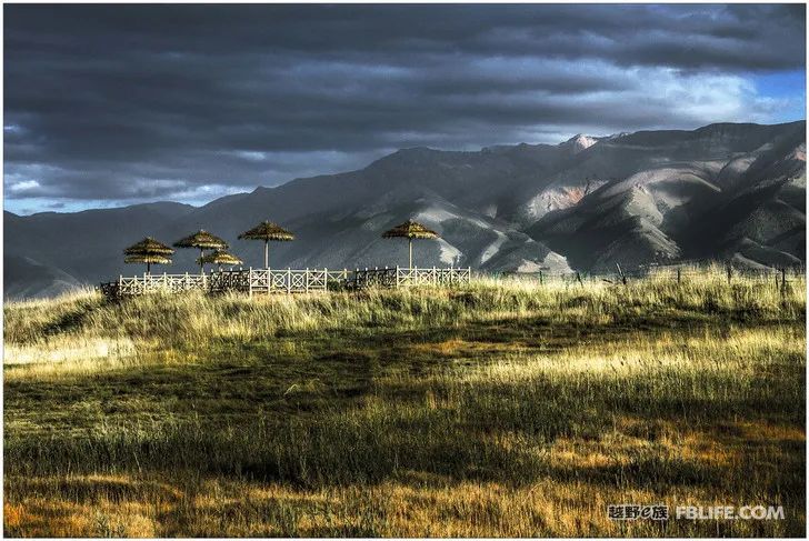
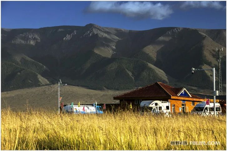
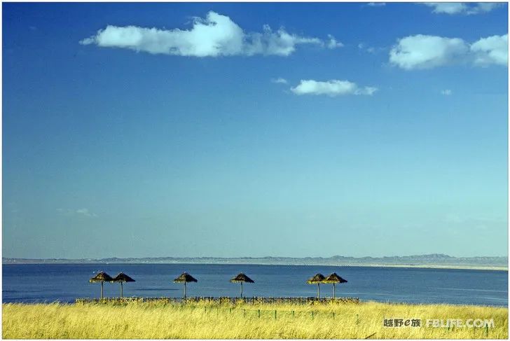
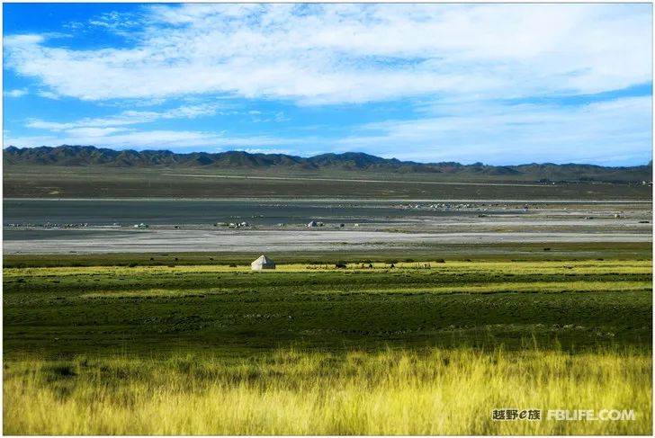
Balikun Lake, Balikun Lake is a saltwater lake, there are no fish or boats in the lake, and the waves are calm; the lake is full of grass and grazing, and there are occasional cottages; there are not many scenery, and there are few tourists. Go through Kazihu Village, get off the road, enter the village and cross the streets, and then you can move your car to the waterside lake. There is a scenic area surrounded by the lake, which is about the size of two or three football fields. There is a row of exquisite wooden houses and a few businesses selling local products. There are water supply rooms and clean public toilets. After passing through an arch, there is a beautiful trestle bridge extending into the lake, and tourists are in twos and threes. It was windy and chilly. When it got dark, the cars of other tourists all ran away, only the two RVs we were with stayed put, cooking and sleeping peacefully, and experiencing the feeling of listening to the waves in the wind and entering the hometown. It rained at night, and the surrounding mountains are full of snow. There will be beautiful scenery to see tomorrow!
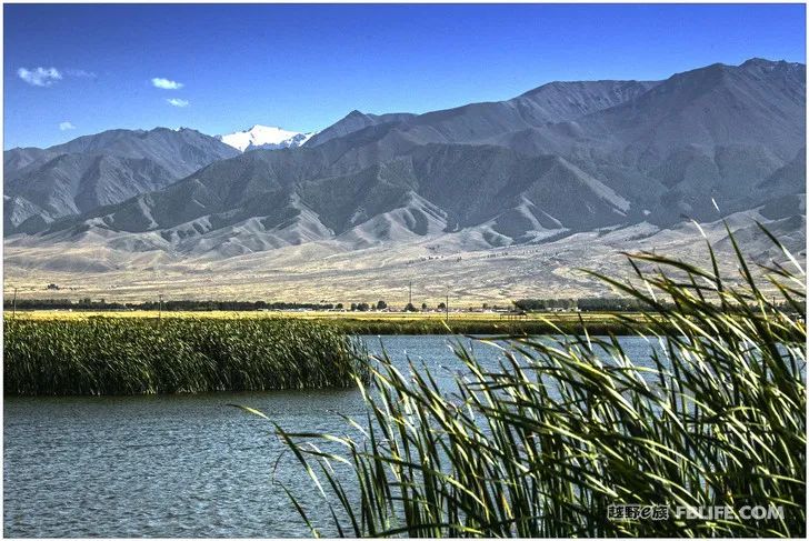
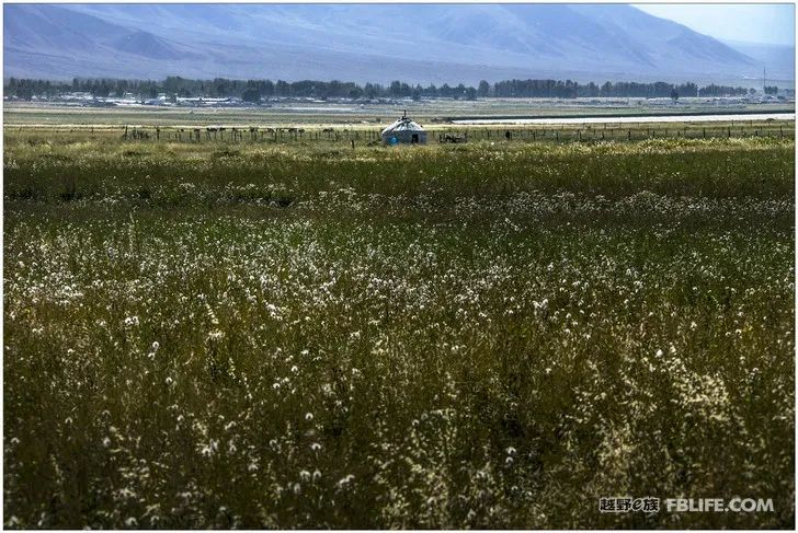
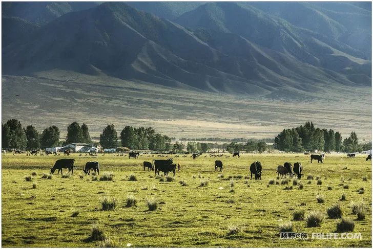
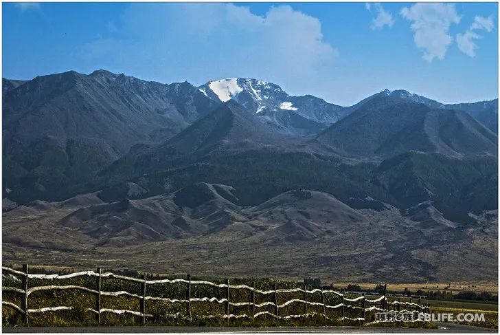
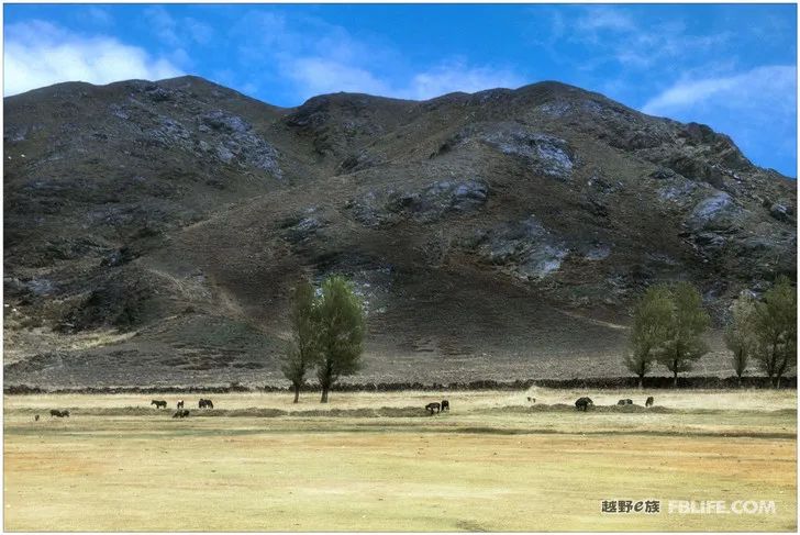
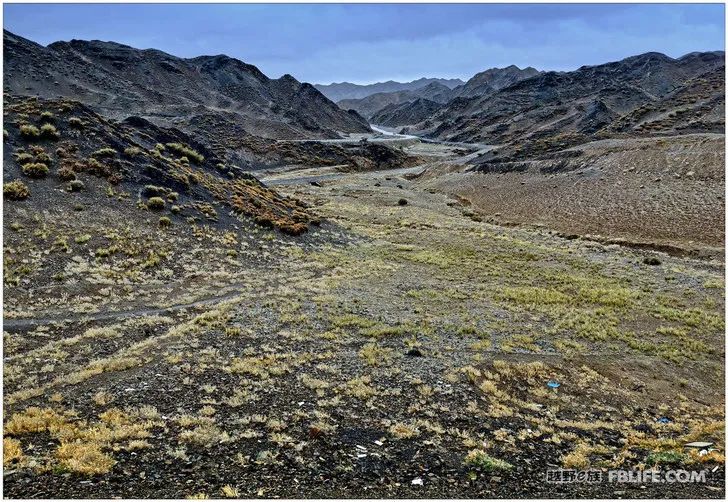
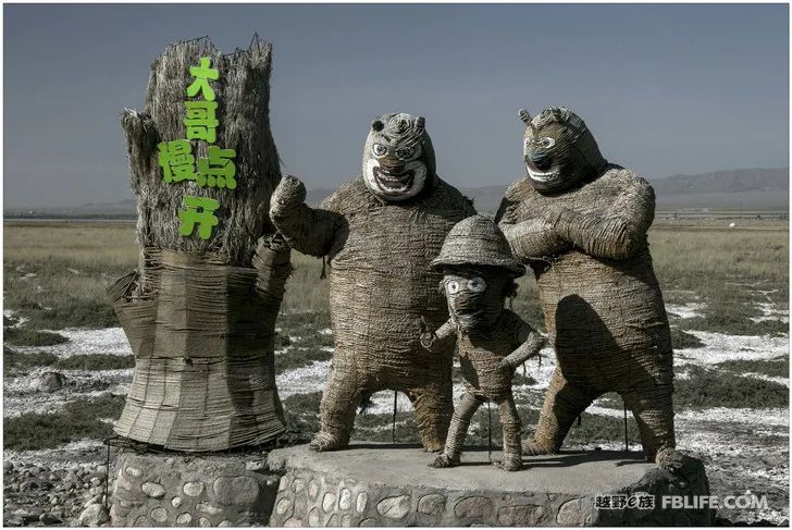
Jambulak
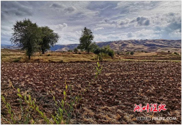
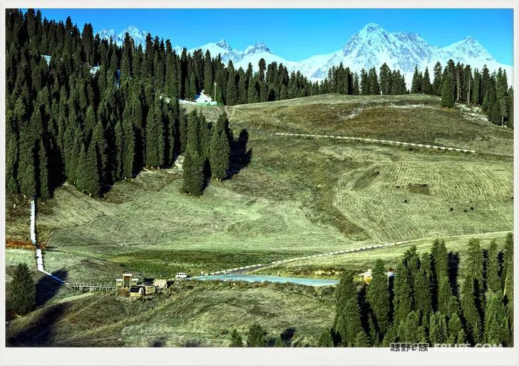
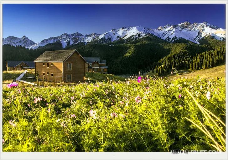
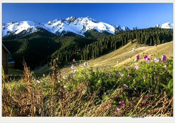
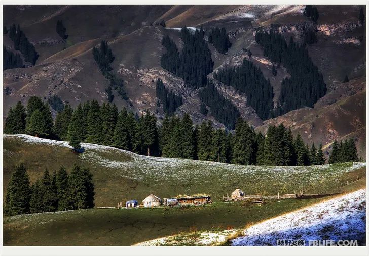
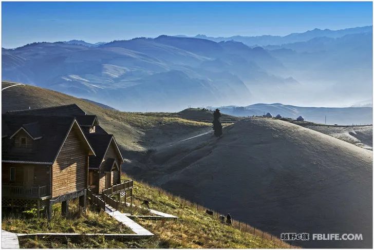
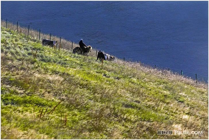
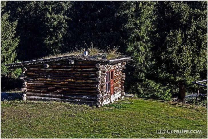
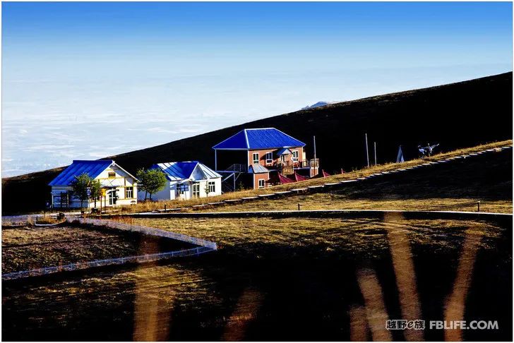
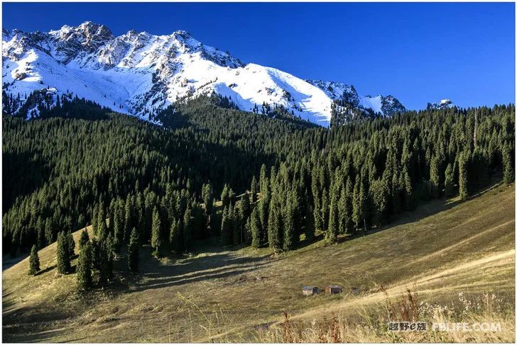
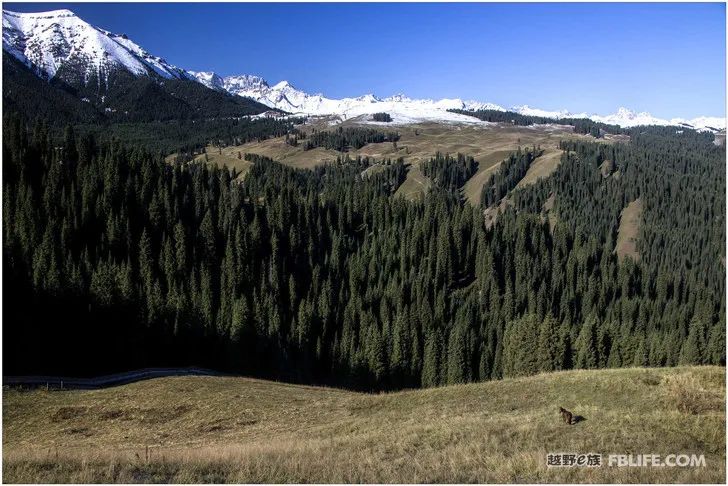
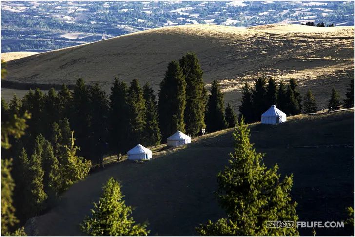
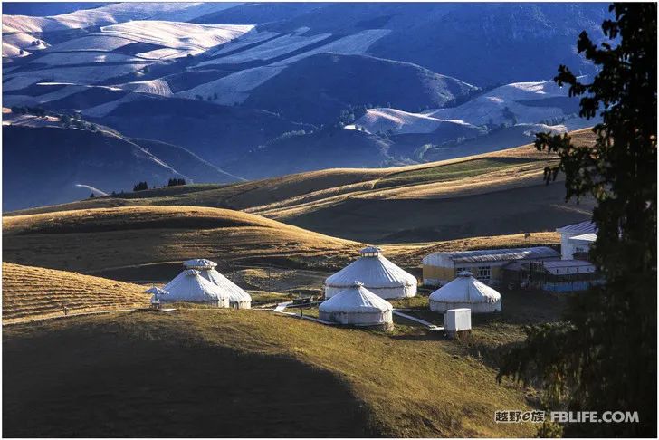
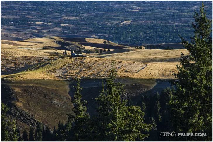
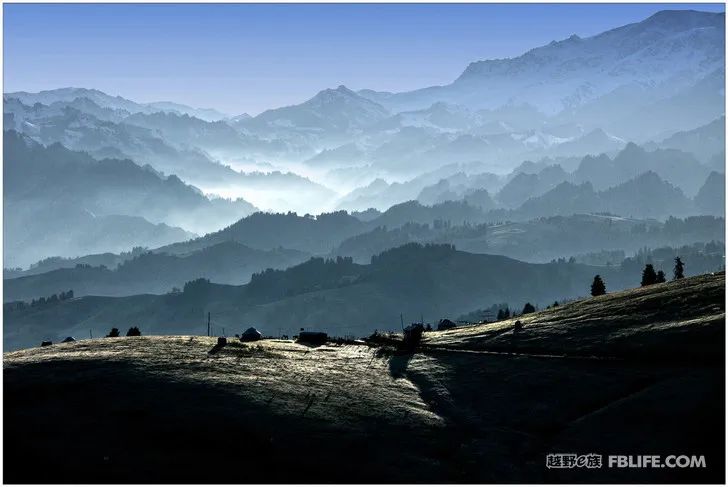
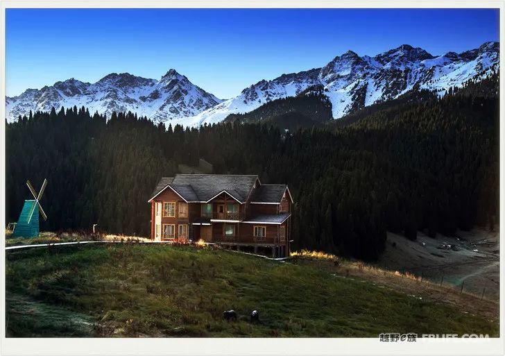
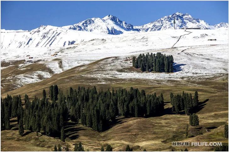
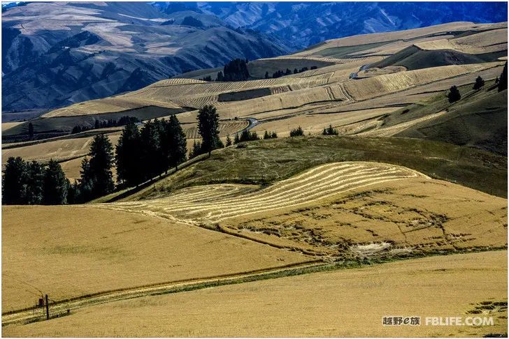
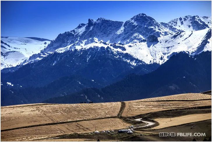
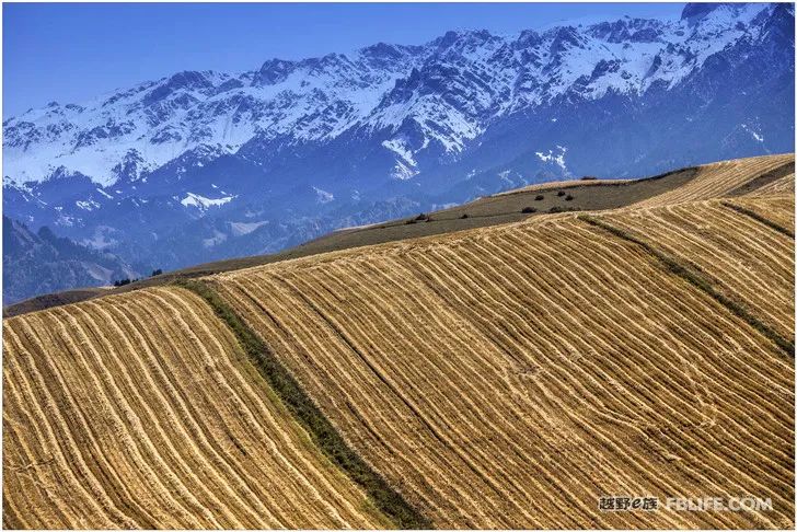
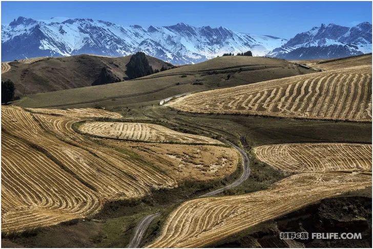
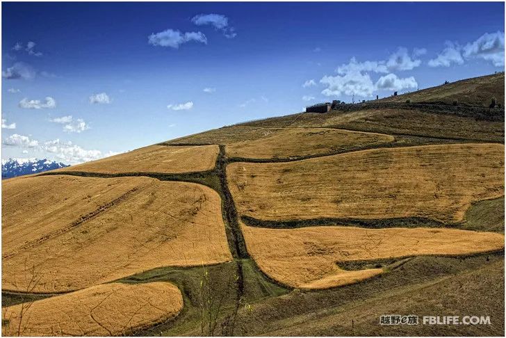
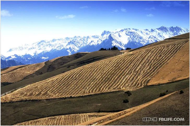
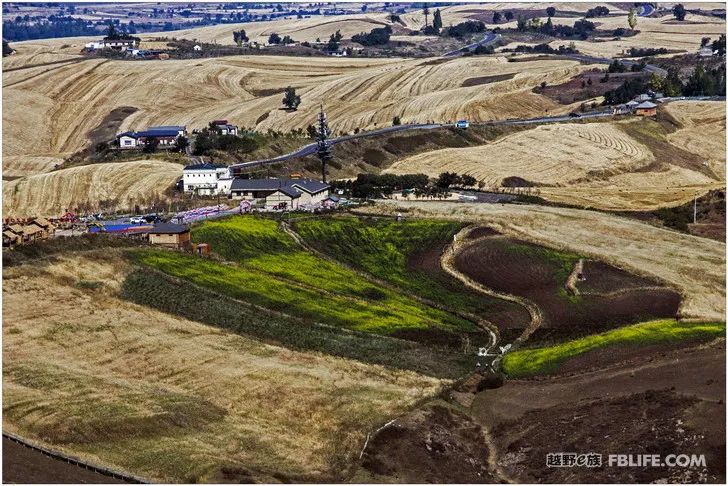
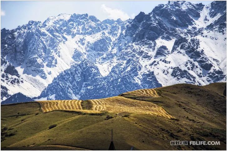
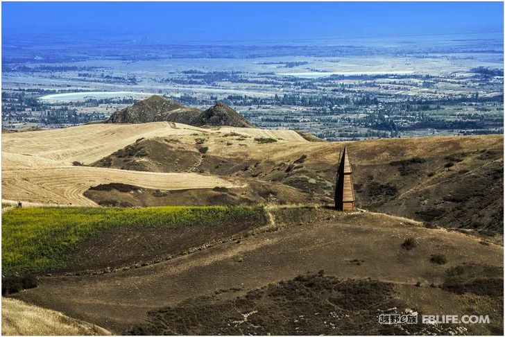
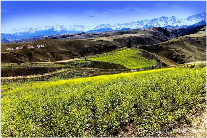
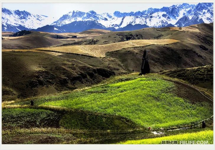
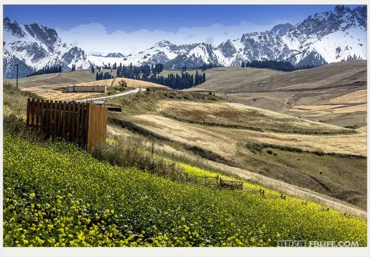
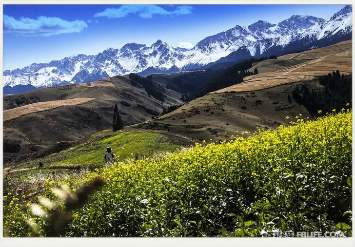
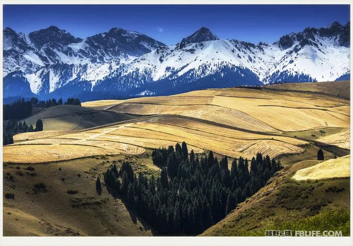
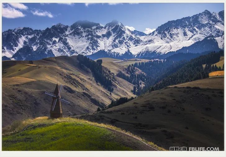
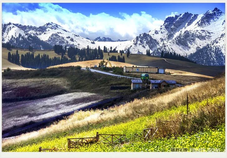
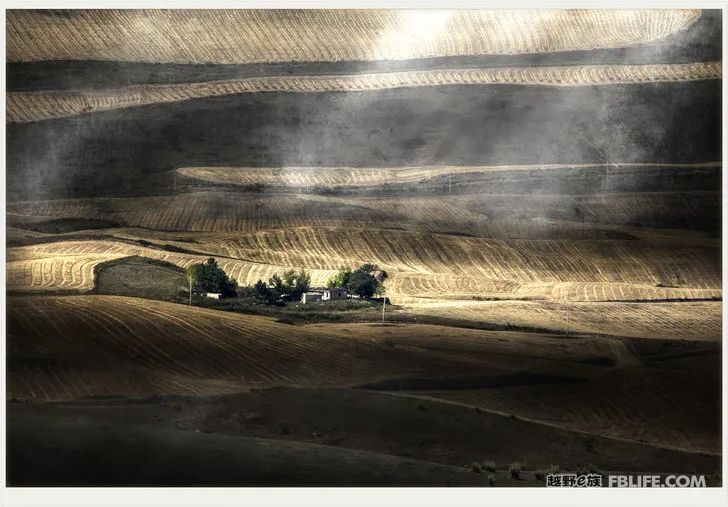
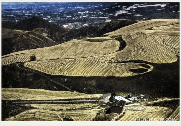
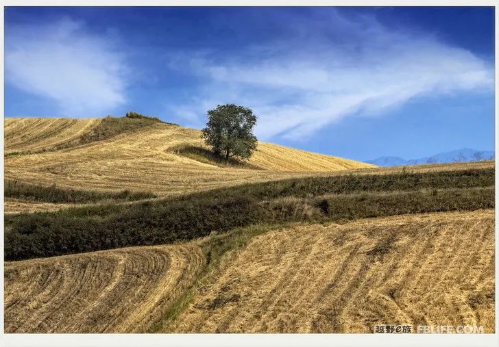
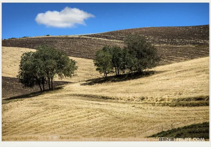
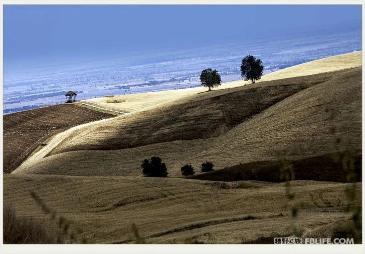
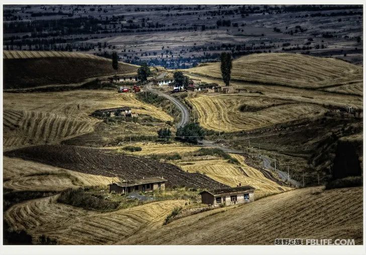
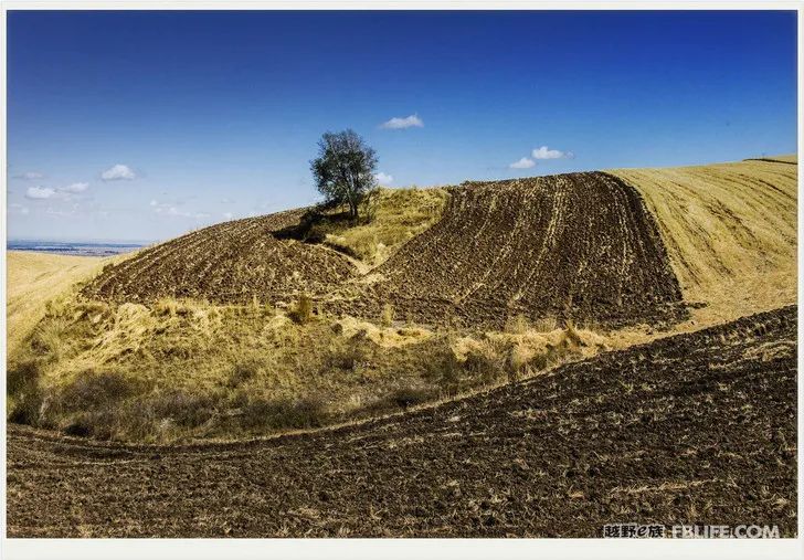
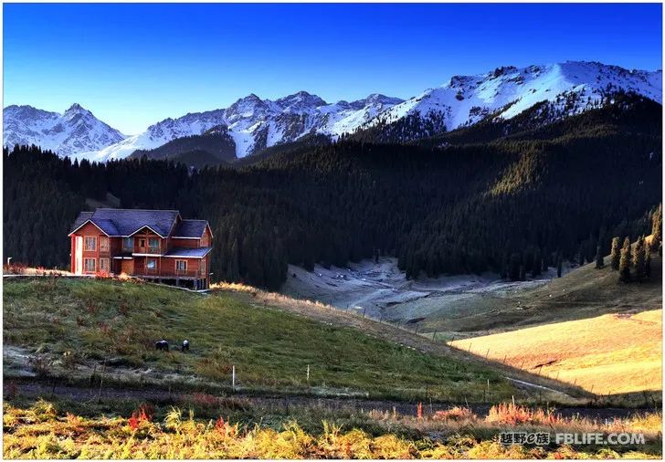
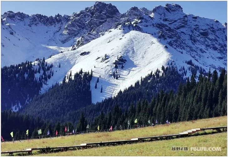
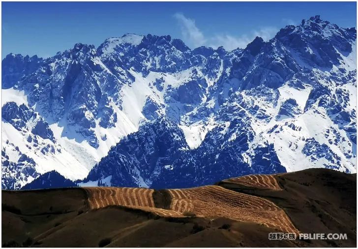
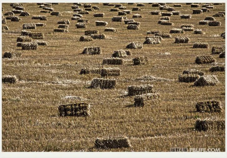
Jiangbulake is located in the mountainous area south of Banjiegou Village, Qitai County, Eastern Xinjiang. Its south depends on the branch of Tianshan Mountain. Qitai County’s geography, landforms, four seasons, climate and meteorology have unique characteristics and unique advantages in Xinjiang. She has more than a dozen rivers, many lakes, wetlands, as well as towering snow-capped mountains and lush forests. The scenery here is beautiful in all seasons, and people also vividly compare Jiangbulake to a piece of jasper worn by the beauty of Tianshan Mountain. Among the most beautiful scenery in Xinjiang is Tianshan Maihai, which is famous far and wide. And Qitai County’s more than 200,000 mu of dry land wheat fields are laid out like a brocade among thousands of valleys and peaks, changing in seasons. In the season we came, the wheat had been harvested, and the stubble was left in the field, forming a geometric pattern, which is both strange and magnificent! People’s Daily once reported that Jiangbulake’s alpine wheat field is known as “the largest and highest wheat field laurel crown in the world”, and she has also been successfully rated as an important heritage of world agricultural culture.
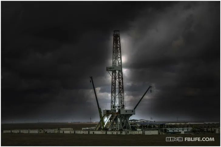
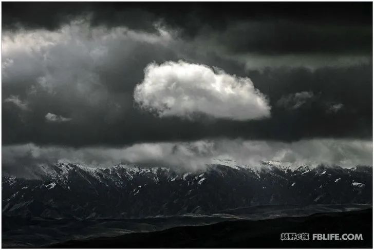
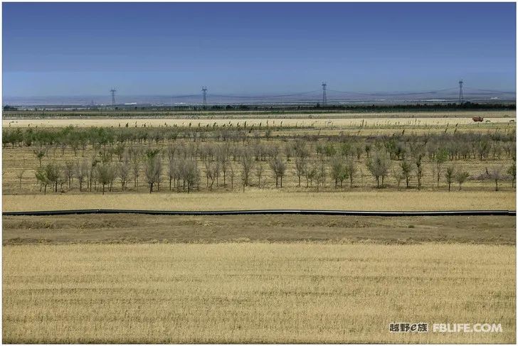
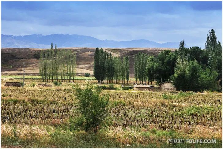
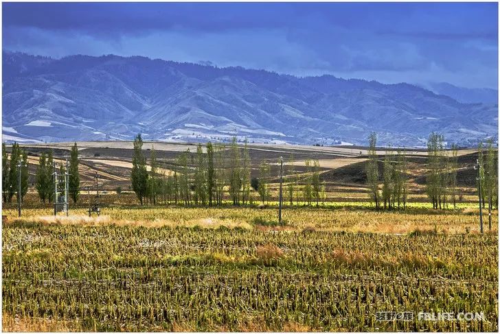
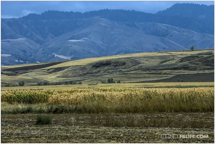
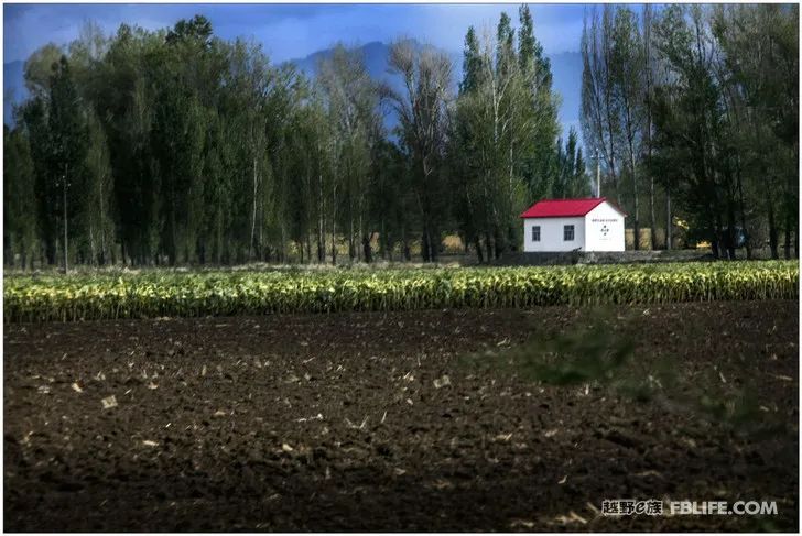
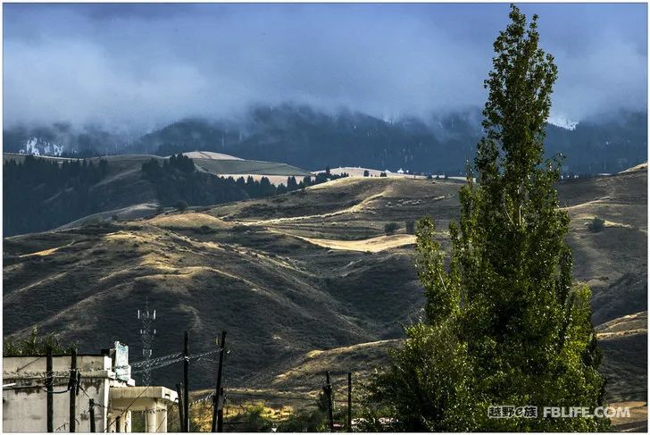
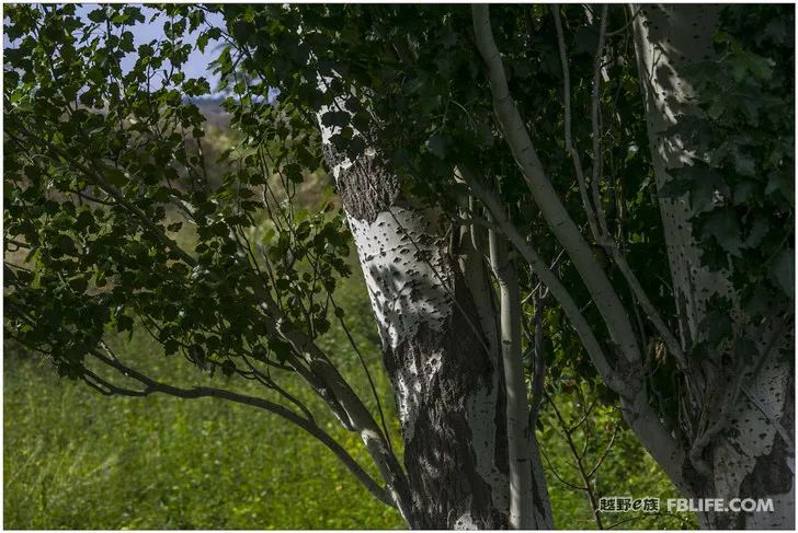
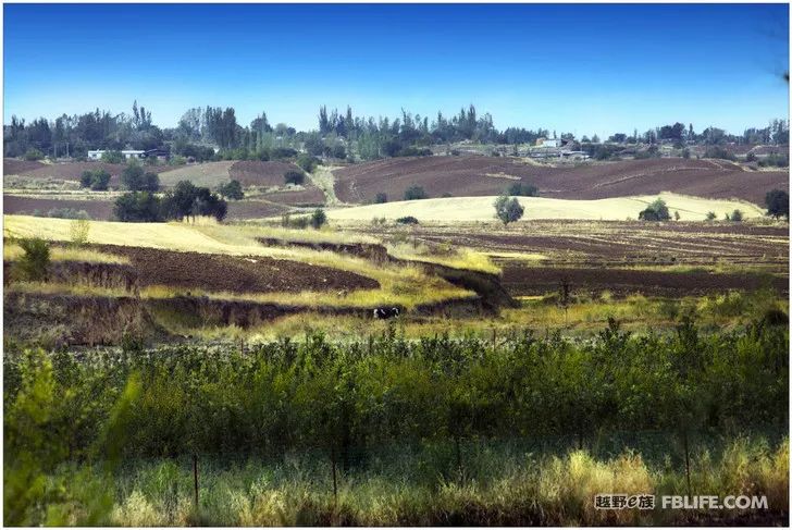
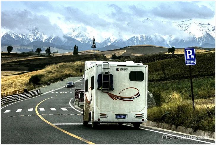
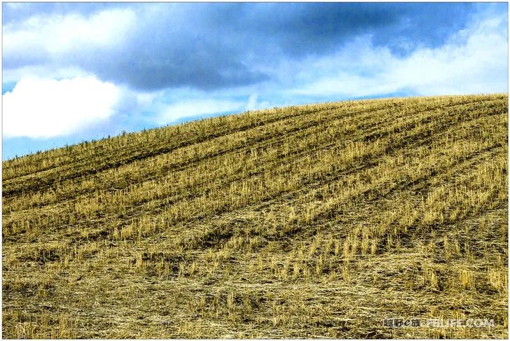
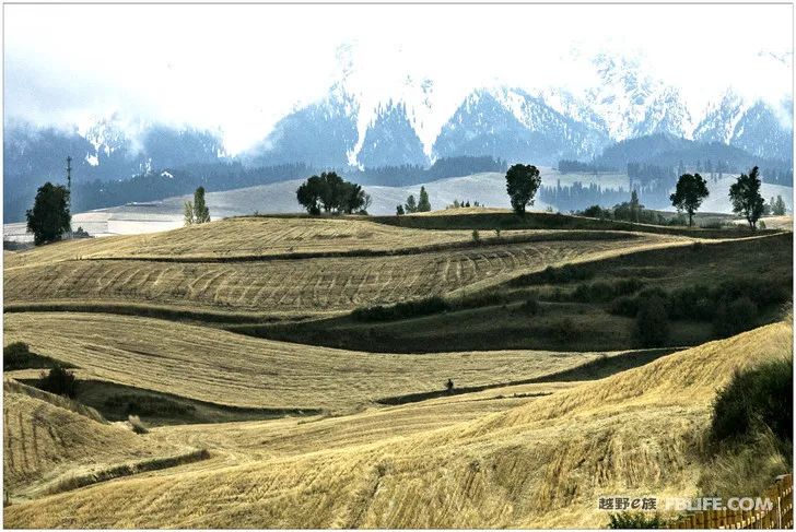
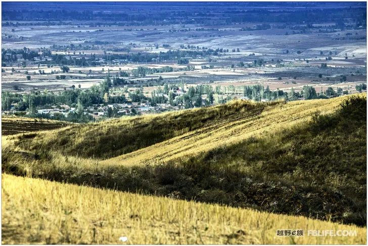
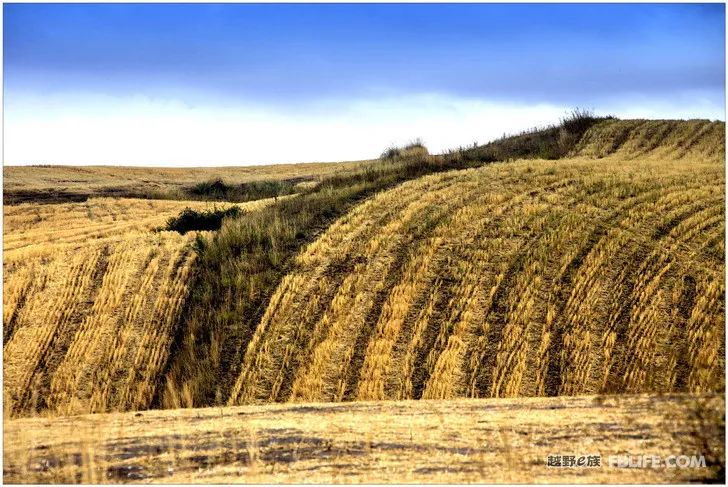
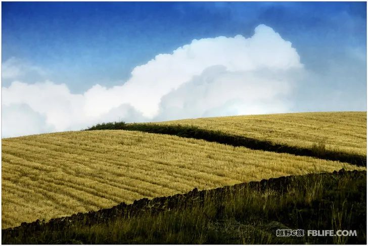
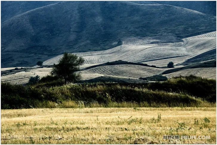
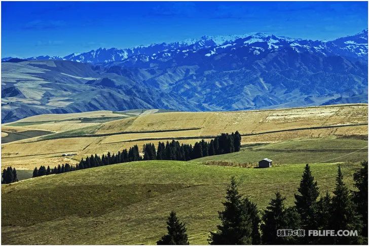
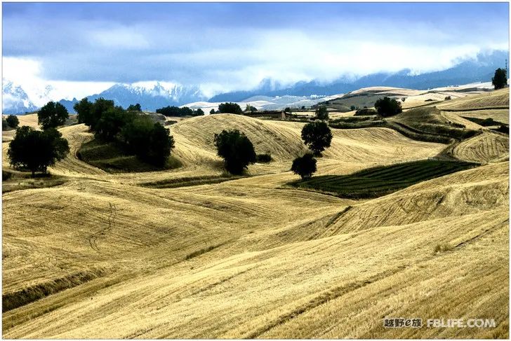
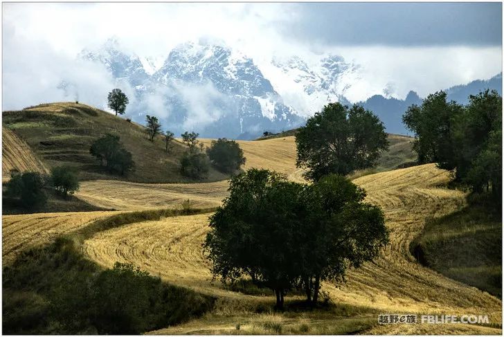
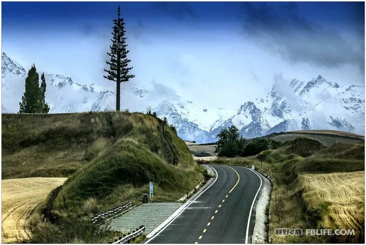
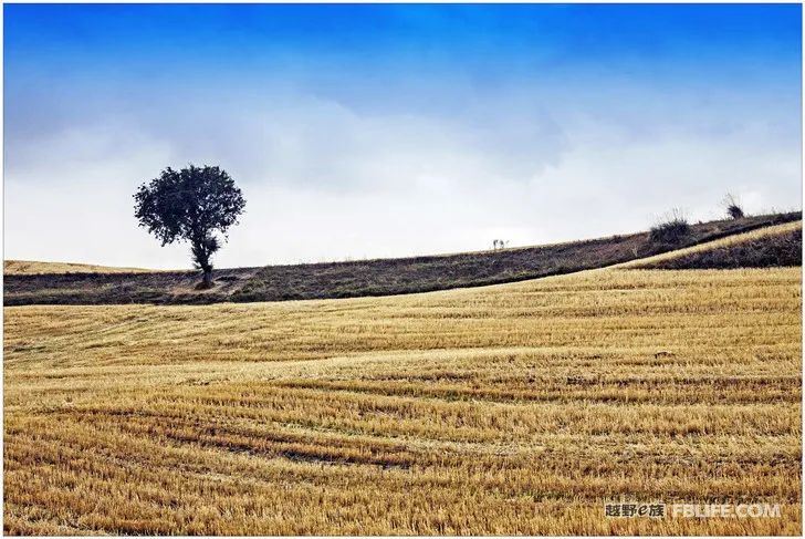
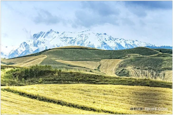
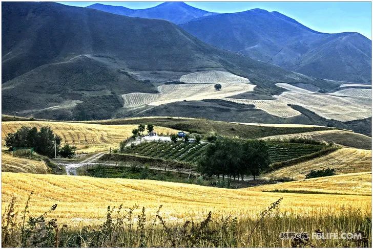
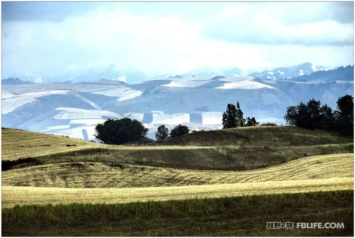
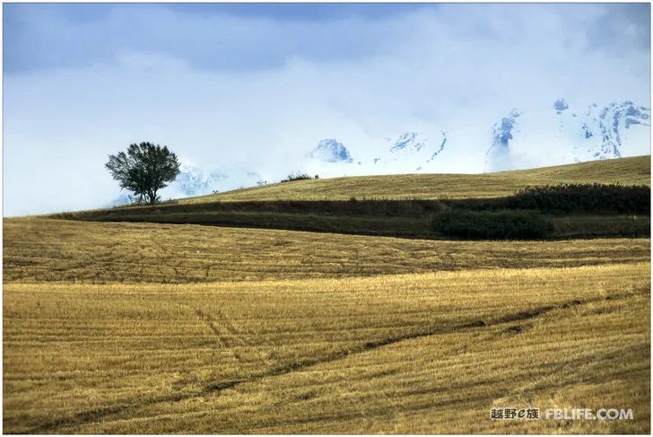
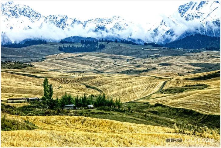
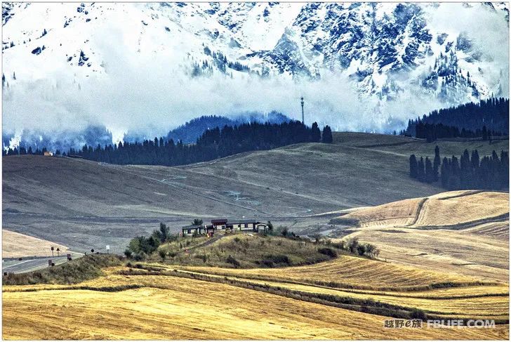
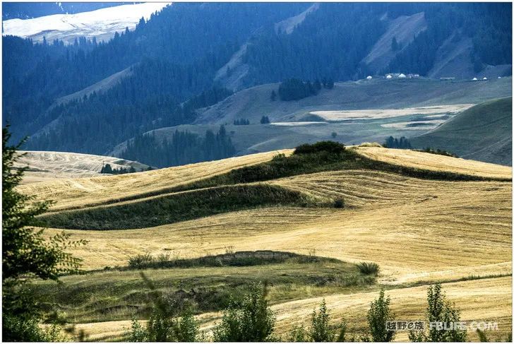
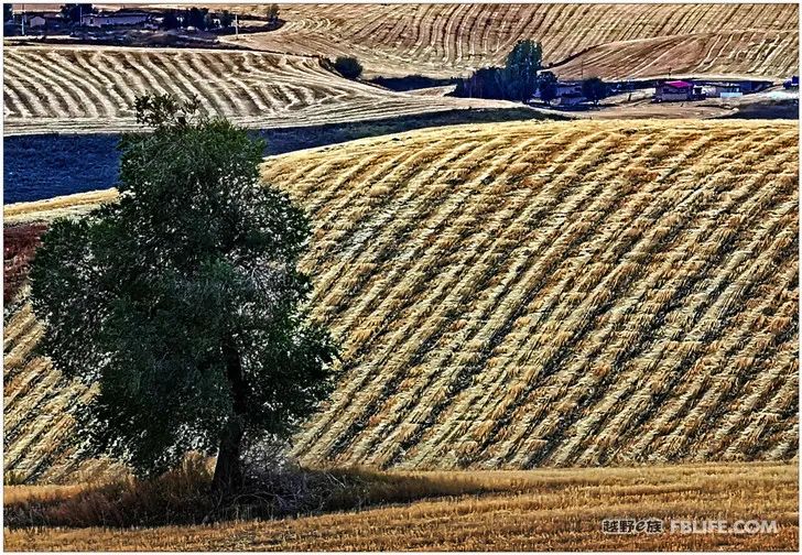
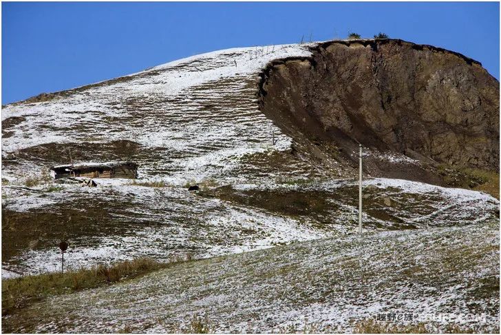
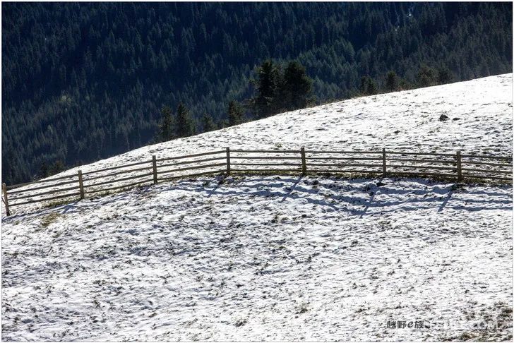
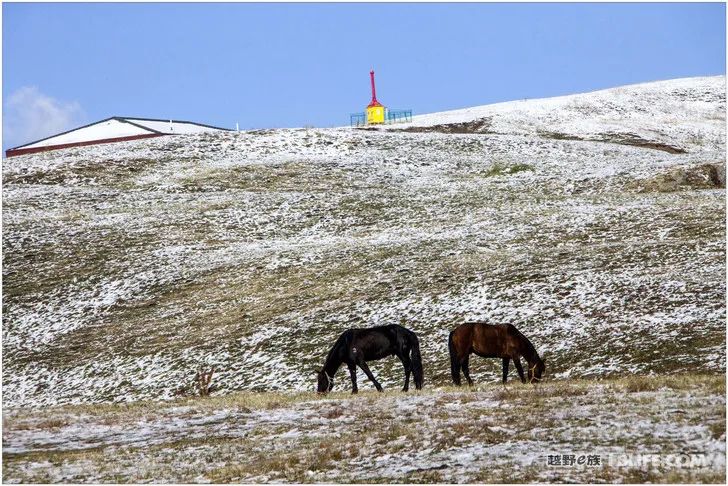
People generally have to do some homework before traveling, that is, they need to find some information to understand the place he is going to. But I am used to doing whatever I want, and I have set a big goal, so I just go and watch! Before the trip to Xinjiang, I also collected a lot of articles introducing Xinjiang, but I just clicked them in the collection and didn’t read any of them. The advantage of my doing this is that I am free from constraints, without borders or frames, and without preconceived ideas. The disadvantage is that it is rare to go deep, and good things are easy to miss. Jiangbulake is an example. Although I took many beautiful photos of her wheat fields in the Tianshan Mountains this time, this is only a part of her beauty. Jiangbulake extends to the entire Qitai County, and among many counties in Xinjiang, it is There are many beauties that stand out and are peculiar to her. In addition to the wheat fields of Tianshan Mountain, there are also the so-called eighteen scenic spots in the five districts, such as the strange slope of Tianshan Mountain, Hanshule City, wooden plank road, and Heilao Dam. Some of them I don’t even know. . That day, the world-famous strange mountain slope was on the side of the road, but I walked past it foolishly. Of course, the idea of wanting to take in all the beautiful scenery of one place is also stupid, more beautiful scenery, we will come again next time!
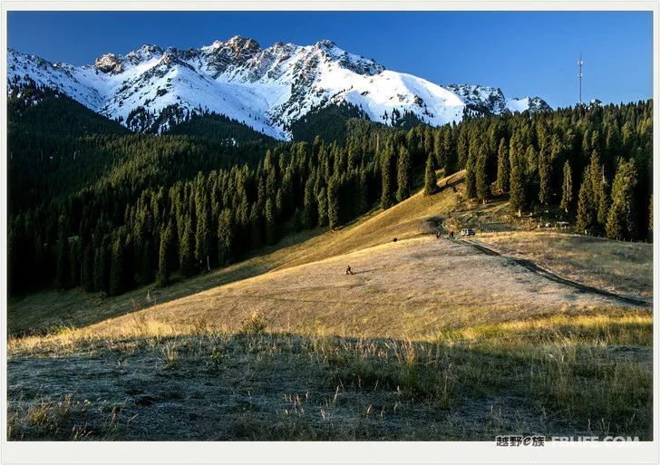
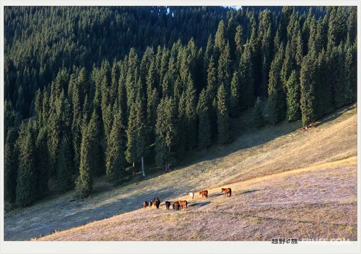
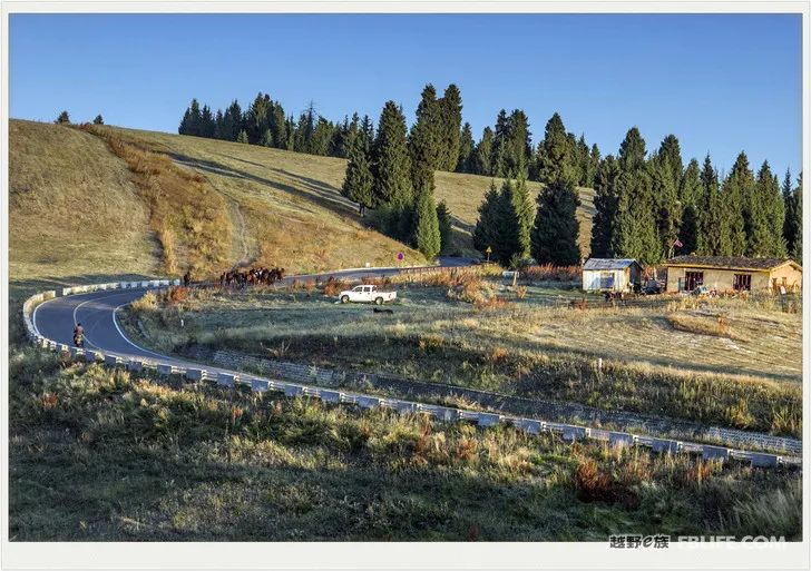
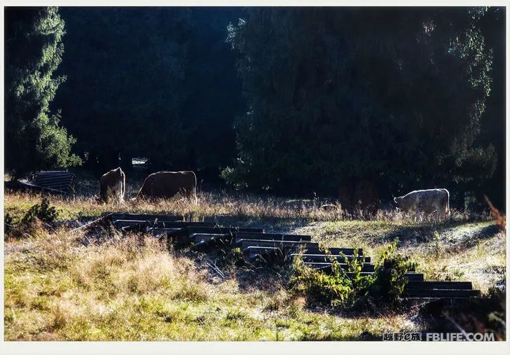
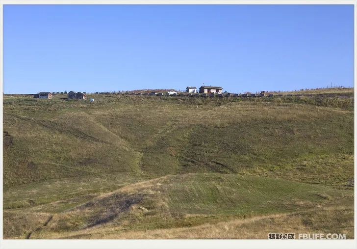
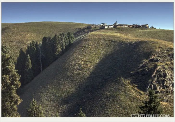
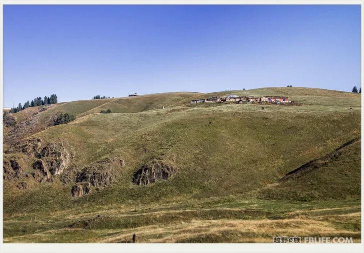
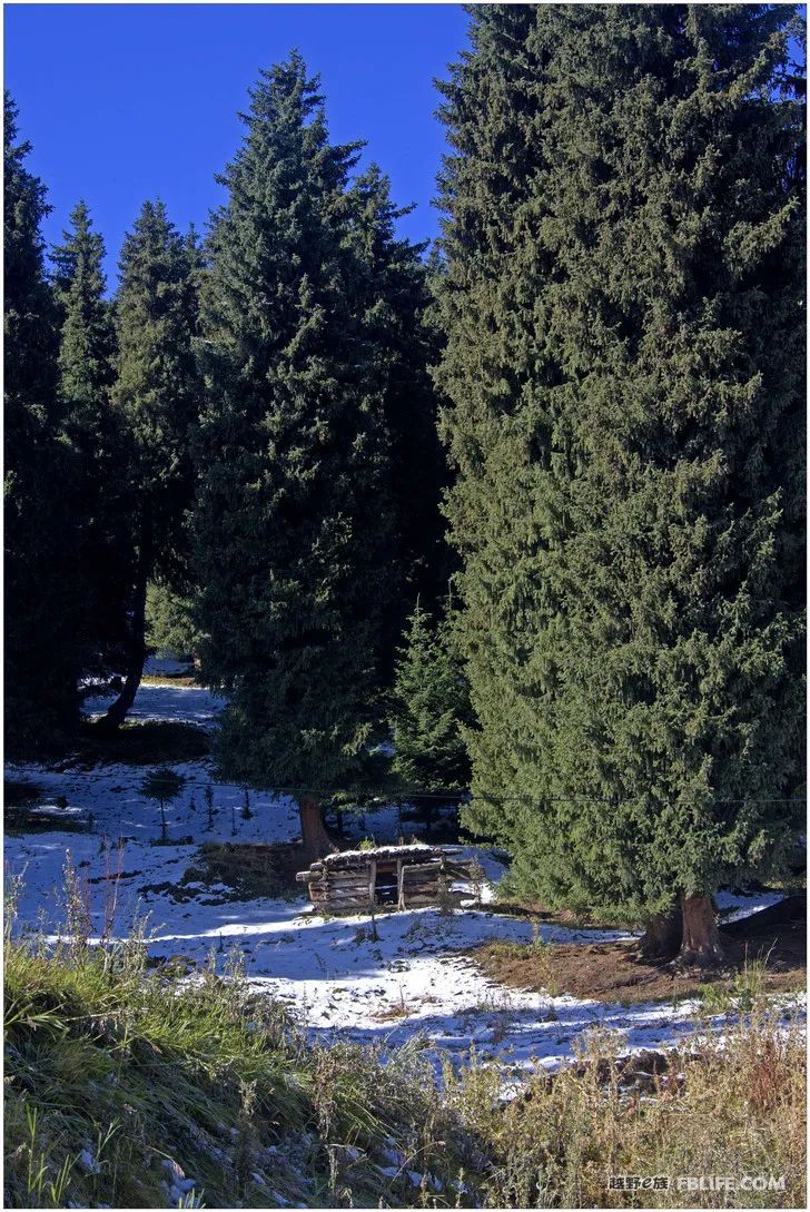
Jambulak
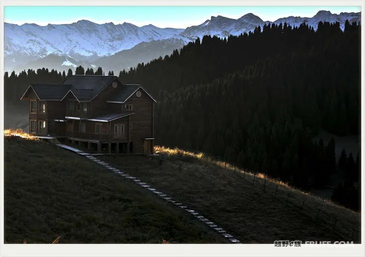
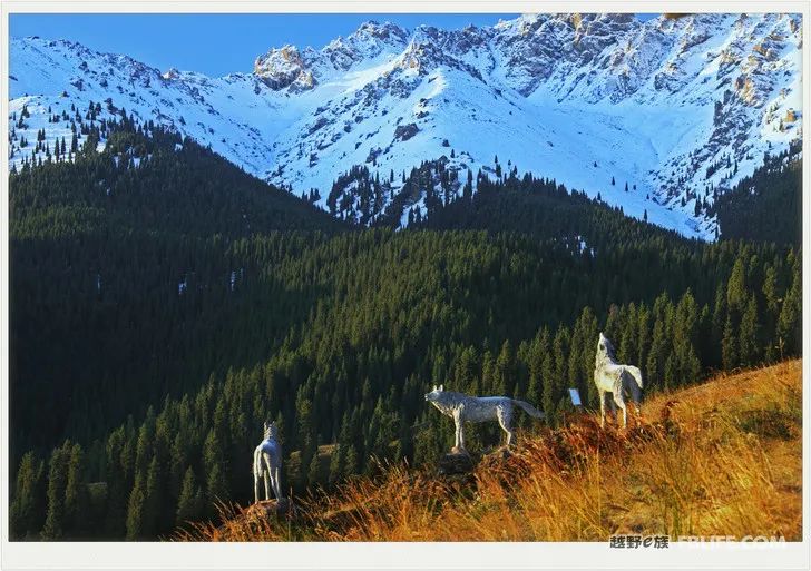
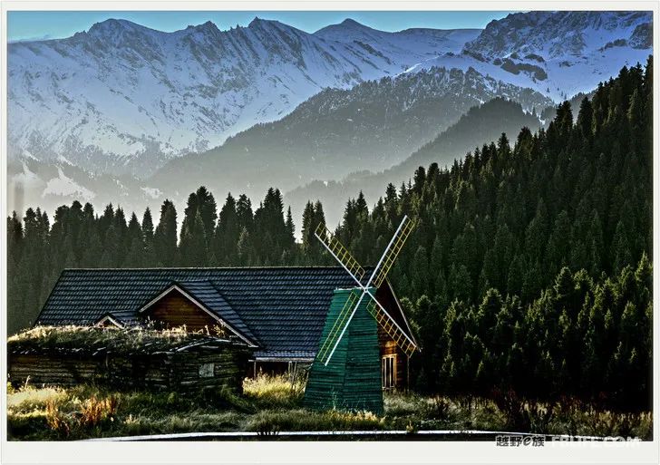
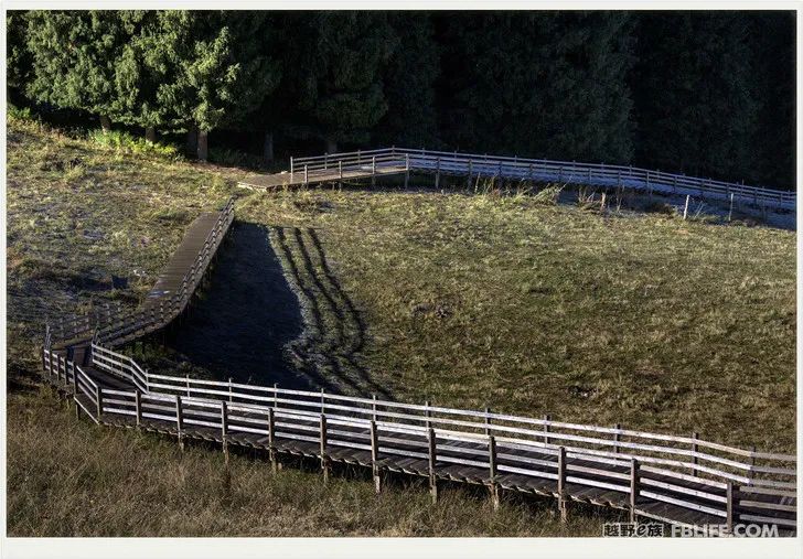
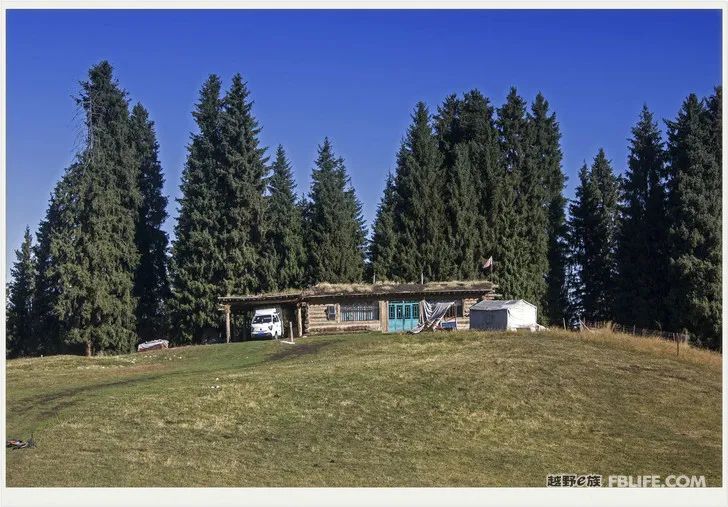
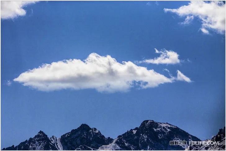
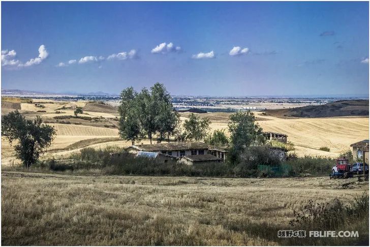
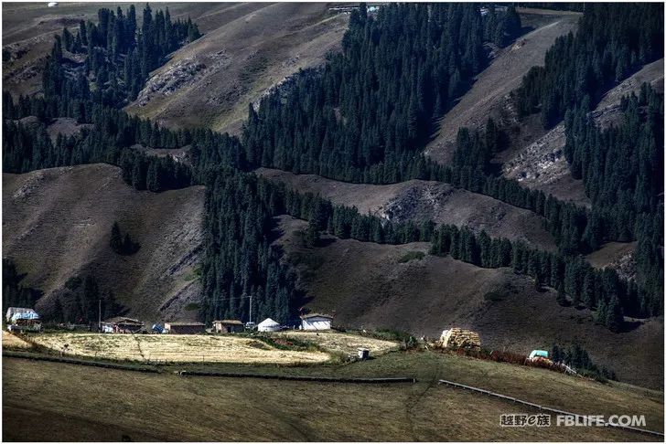
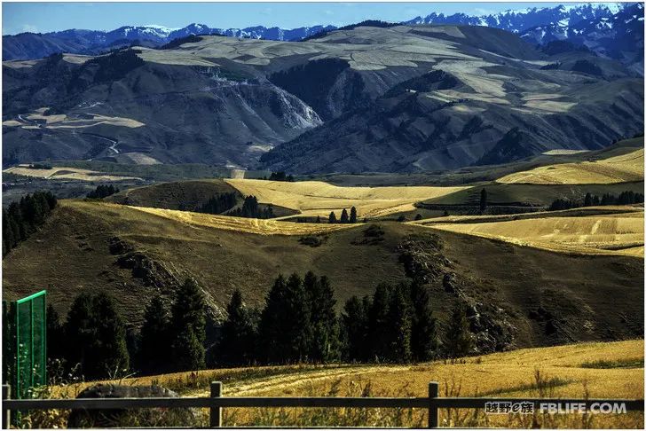
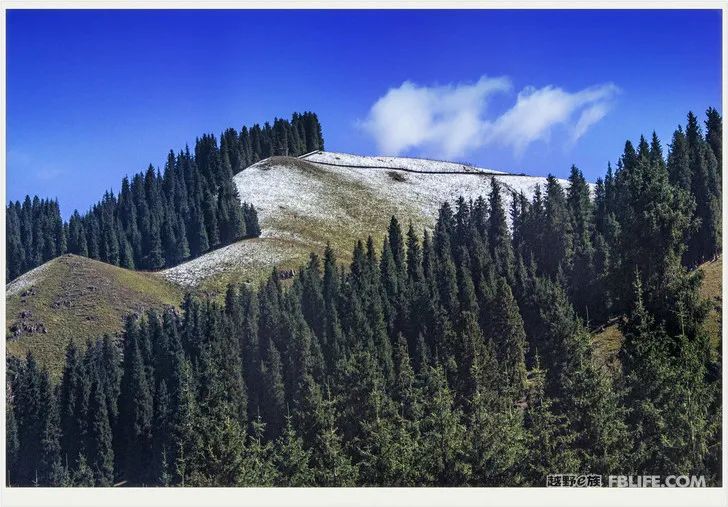
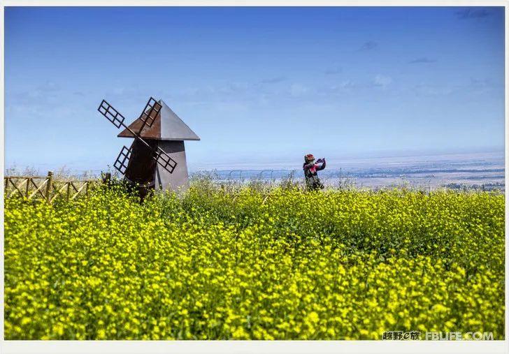
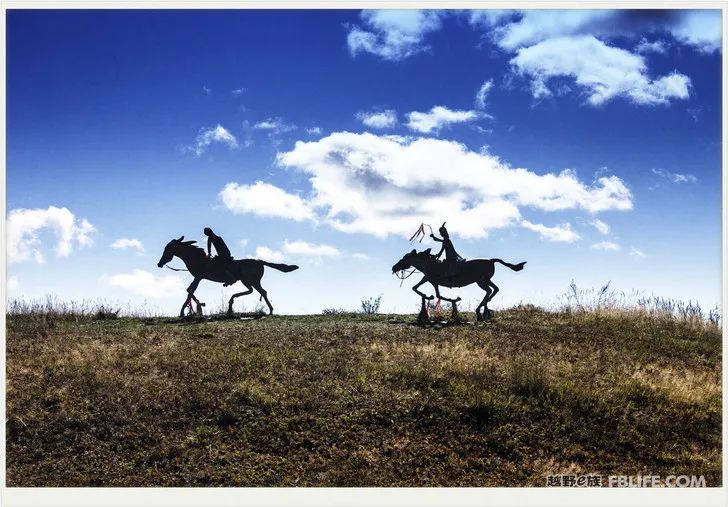
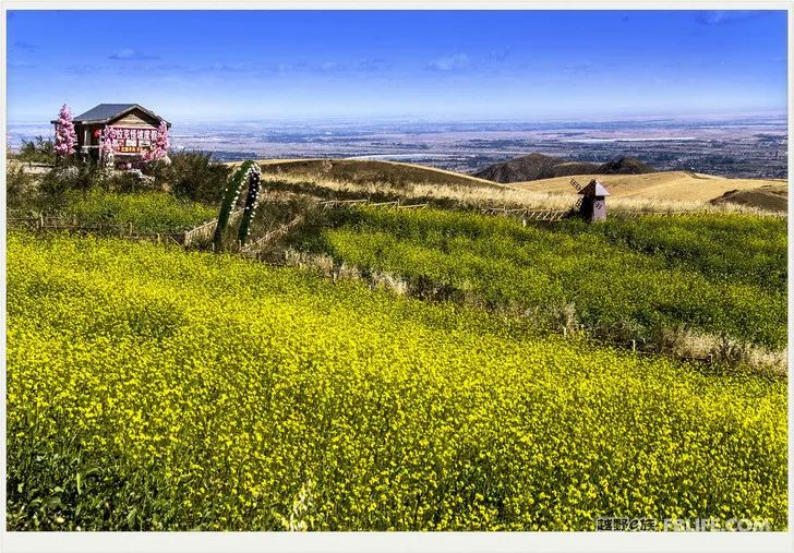
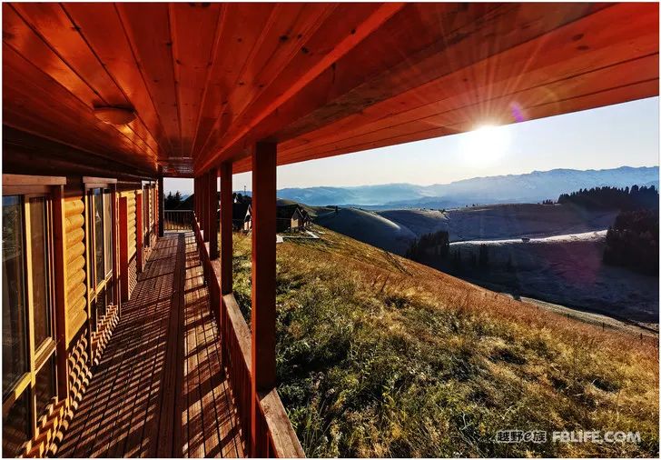
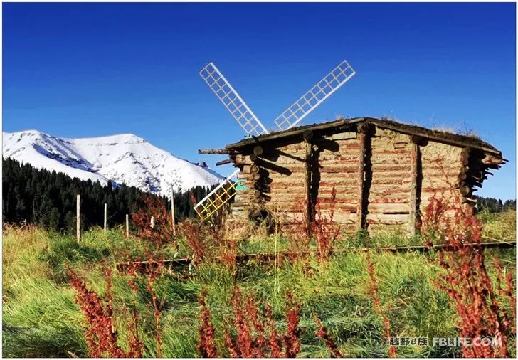
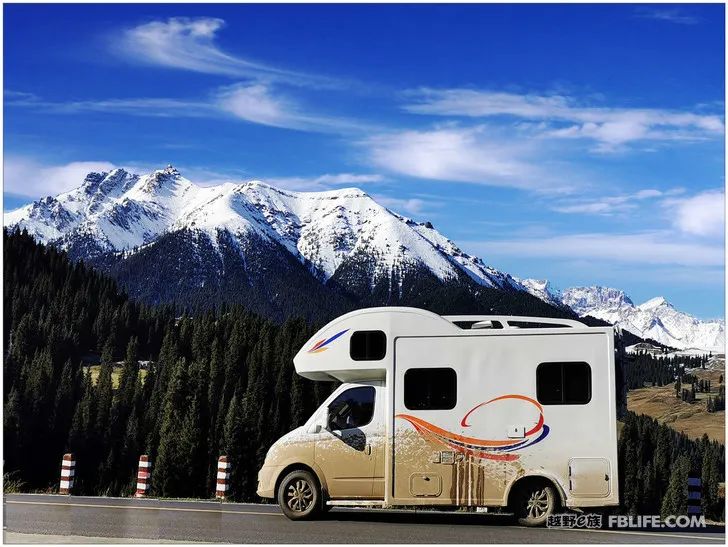
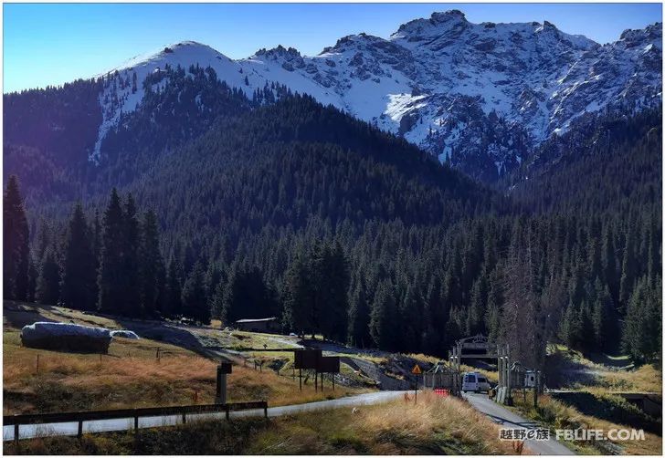
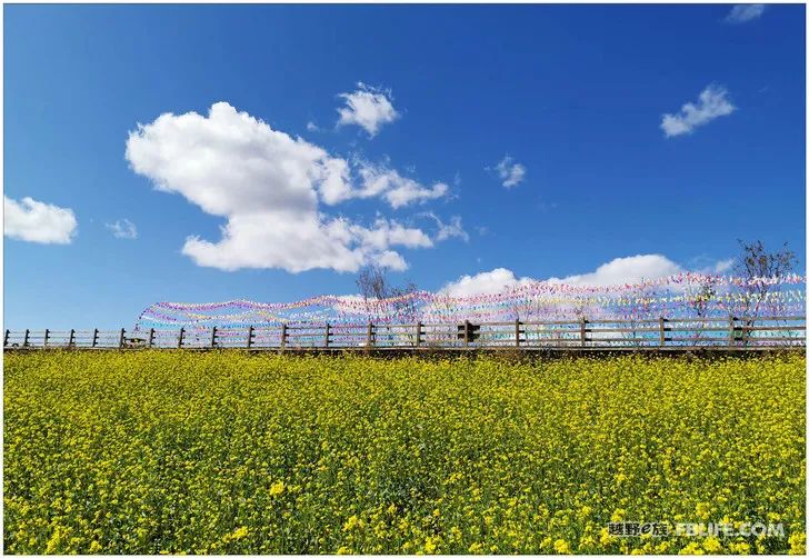
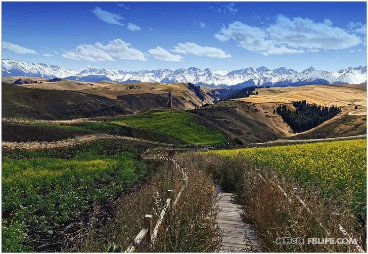
The Jiangbulake scenic spot is very large. Entering the park is equivalent to entering the mountain. You can drive your own car in after buying a ticket here. Unlike most scenic spots in the country, she does not need to take the shuttle bus provided by the scenic spot. It gives tourists the freedom and convenience to travel leisurely and freely to visit and shoot. This is so great, and it is really worth shouting for this policy! Two sighs of emotion: unique! Unique! Our RV did not leave the park that night, so we parked at the tourist campsite on the mountain, and took pictures of the sunrise when we opened the door the next day. We didn’t take enough photos of the wheat fields on the mountain in half a day the day before, and continued to shoot the next day… Bathed in the golden sunshine in the morning, the wheat fields of Tianshan Mountain are even more beautiful! Everywhere looks like an oil painting of scenery, even the most famous Barbi pine in Europe “Walking Mountains and Rivers and Encountering Beauty” No. 329 “Xinjiang Journey” (Camera Edition) After entering the mountain, you can drive in your own car after buying a ticket here. Unlike most scenic spots in the country, she does not need to take the shuttle bus provided by the scenic spot, which gives tourists a leisurely stroll and free tour. Casual and convenient, this is too great, it is worth shouting for this policy! Two sighs of emotion: unique! Unique! Our RV did not leave the park that night, so we parked at the tourist campsite on the mountain, and took pictures of the sunrise when we opened the door the next day. We didn’t take enough photos of the wheat fields on the mountain in half a day the day before, and continued to shoot the next day… Bathed in the golden sunshine in the morning, the wheat fields of Tianshan Mountain are even more beautiful! It looks like oil paintings of landscapes, even the most famous Barbizon manor in Europe, the village where the world’s top oil painters Van Gogh, Monet and others sketched, is nothing more than that. The village where the world’s top oil painters Van Gogh, Monet and others sketched is nothing more than that.
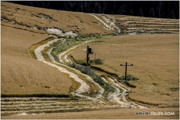
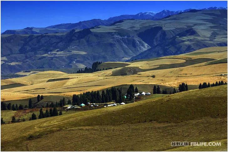
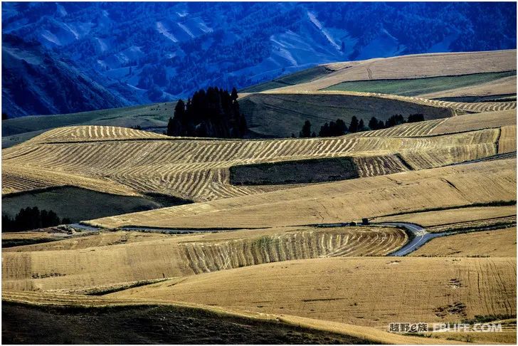
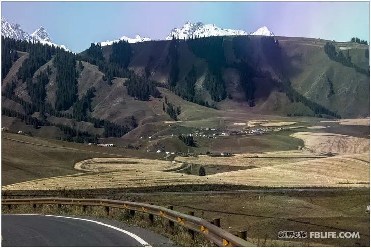
Keketuo Sea Section
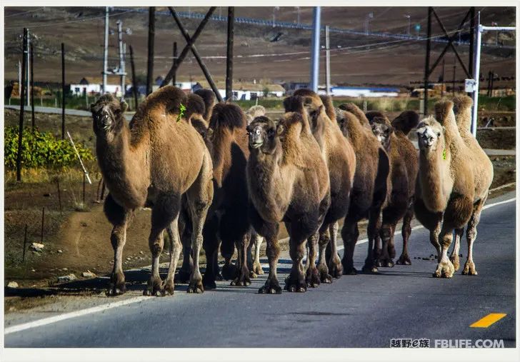
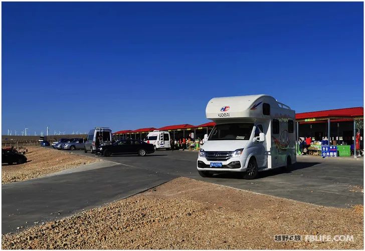
The scenic spots in Xinjiang are generally far away from each other, and it is true to drive for half a day or even a day or two. The expressways in Xinjiang are very well built and new, and there are few cars running on the road, but the service area is too small, and sometimes there is not enough for one every one or two hundred miles, and the hot water supply cannot be guaranteed for the crude ones. Locked and left, leaving a service area in darkness. After leaving Jiangbulake, we approached Urumqi, but in the end we failed to go to Urumqi. Instead, we turned from west to north, took the five major highways, one of the north-south arterial roads in Xinjiang, and headed for the next destination: Keketuohai. In the middle, it stopped for one night in a dark service area. The road was cut off when two-thirds of the high speed was running, and all the cars were allowed to pay the toll to get off the road. After traveling along the national highway for a few kilometers, we saw a gap in the expressway, so we bravely climbed up the expressway again. In this way, we ran more than 100 kilometers in vain without toll. This journey is basically the Gobi desert, not even a village or town. All the grass is sparse pier camel grass, and sometimes a few camels can be seen. Instead, I saw several large chemical factories standing on the Gobi wasteland, with scale and momentum. A factory is like a big village, which brings life to the desolate Gobi. Gradually approaching the mountains, gradually approaching the scenery, the scenery is getting better and better…
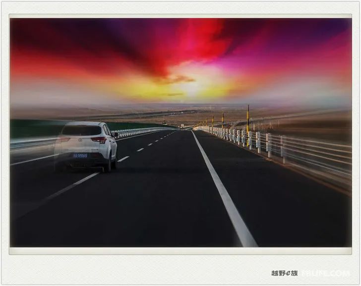
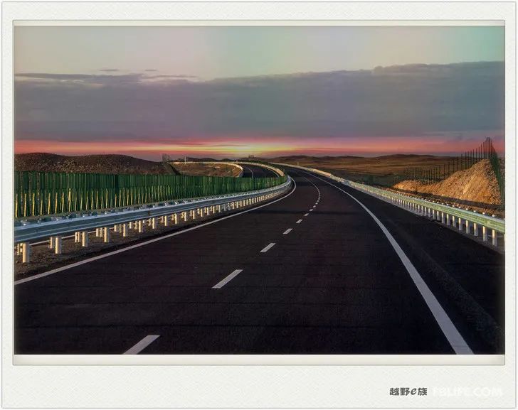
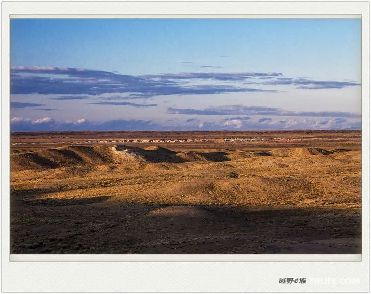
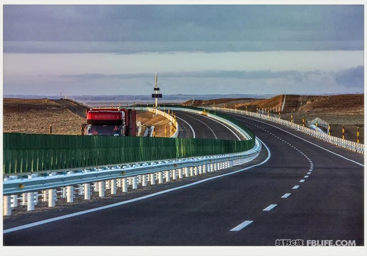
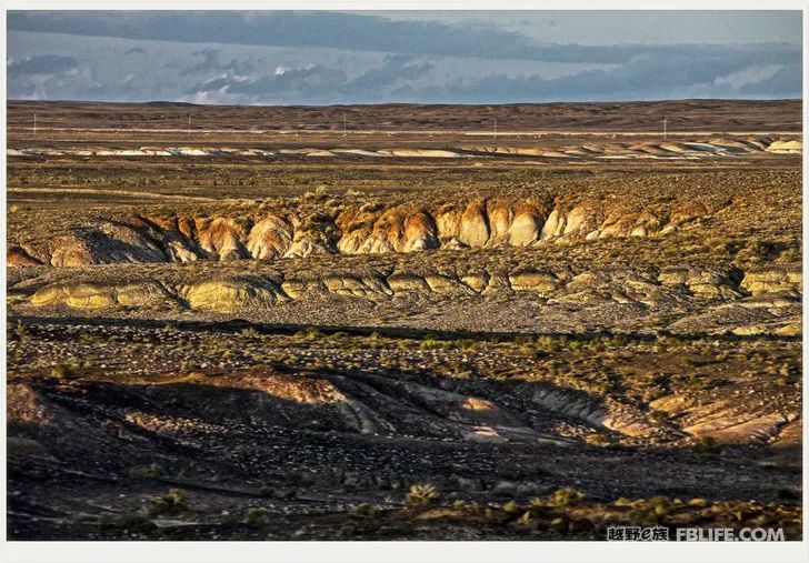
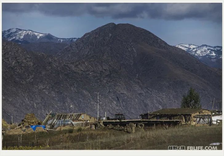
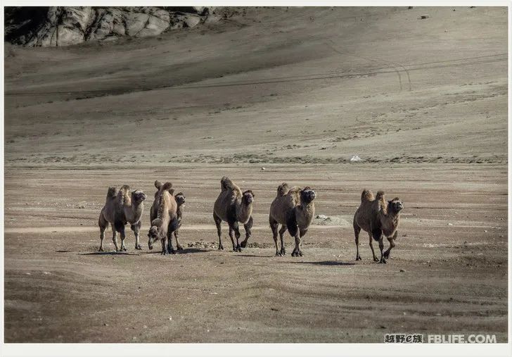
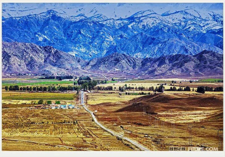
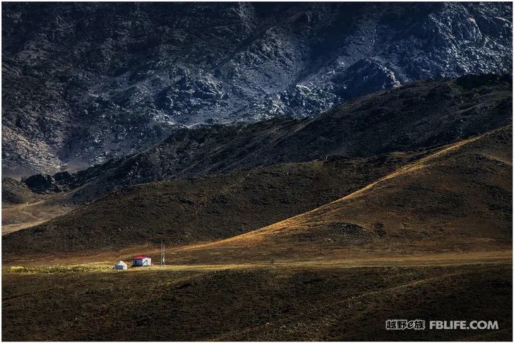
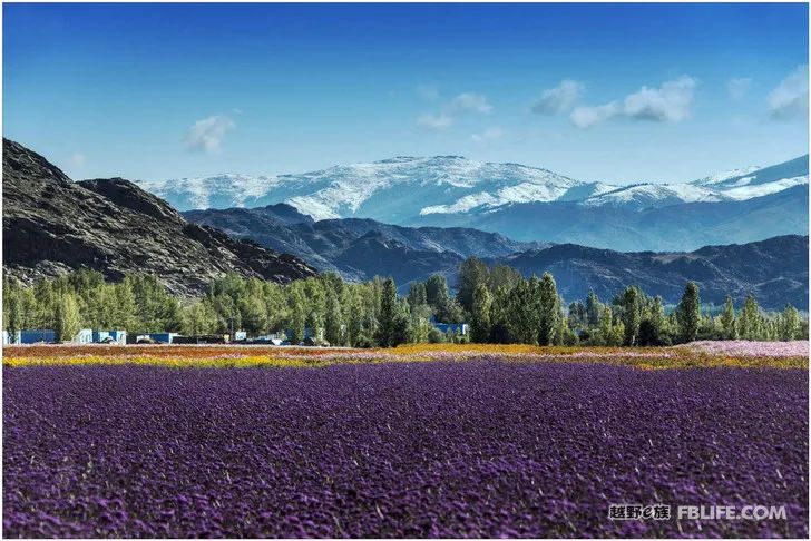
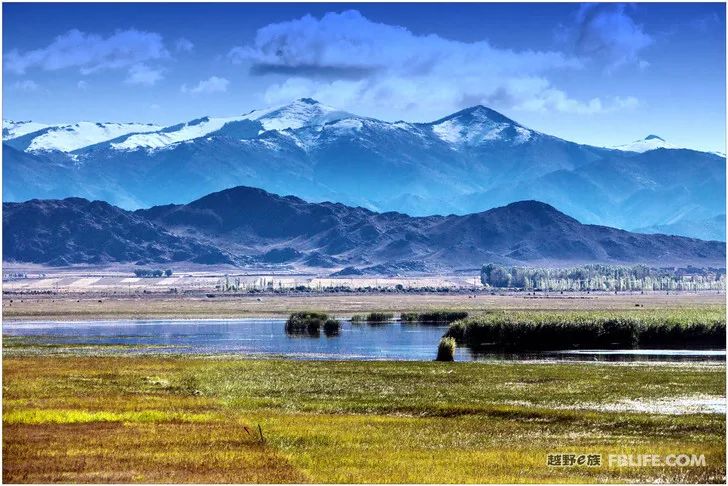
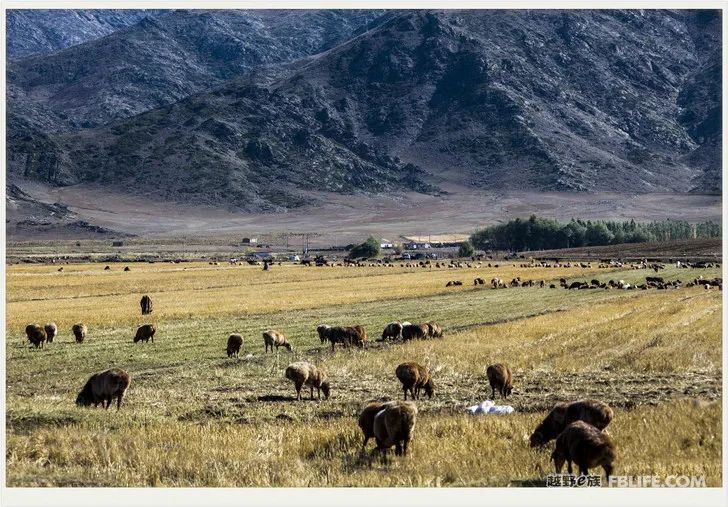
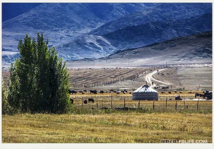
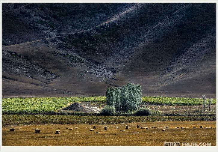
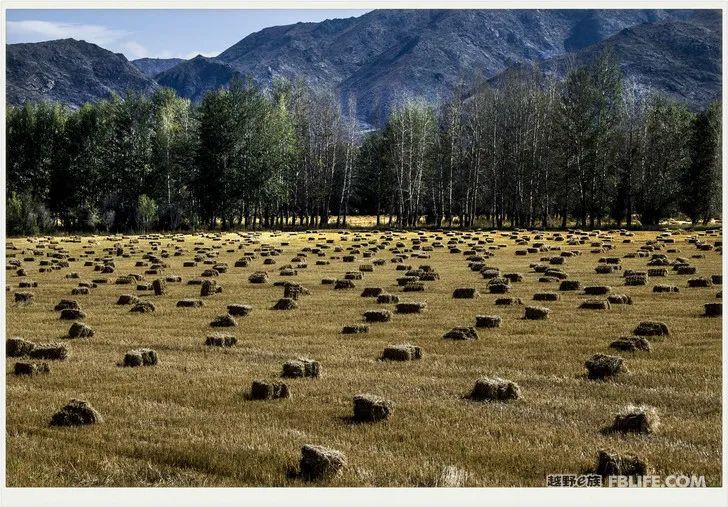
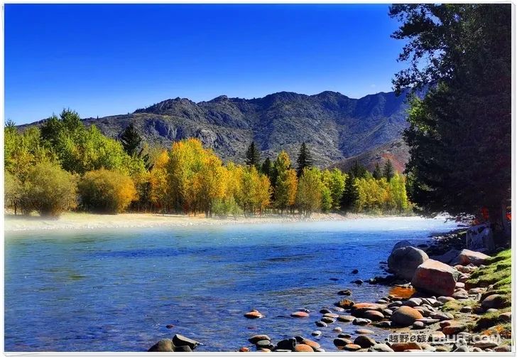
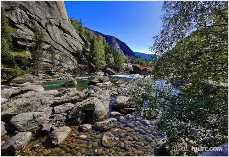
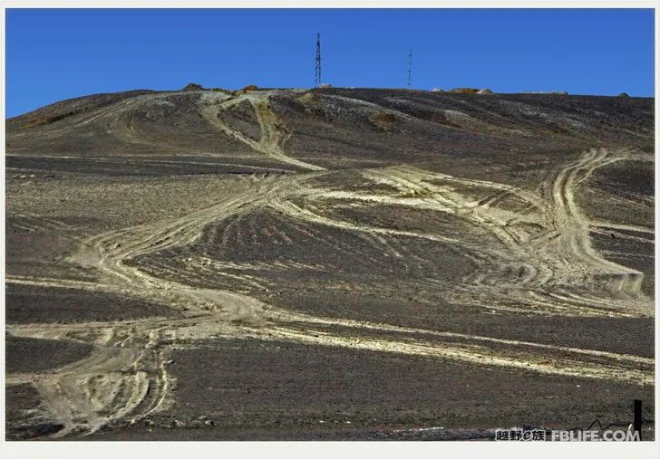
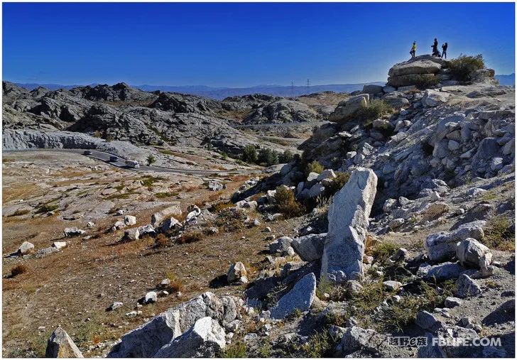
Keketuohai is located in Fuyun County, Eastern Xinjiang. Fuyun means “rich reserves in the sky”. This is a place rich in minerals. Some varieties are rare in the country, rare in the world, and even the only ones found in my country. There is the most famous No. 3 pit, which was once the top secret and top wealth of the country. This is a huge open-pit mine. She has changed from a mountain more than 200 meters above the surface to a mine pit with a depth of 143 and a length of 240 meters. The circular driveway on the inner wall of a circle is like a giant Colosseum in ancient Rome… This mine, discovered and exploited by the Soviets at that time, once made them laugh like thieves, and the kind-hearted Chinese who were almost ignorant never thought about it. Settle accounts with “Big Brother”. Now people can’t help feeling sad when they look at the mountains of slag piled up beside the empty No. 3 Pit. Pit No. 3 is now also a scenic spot in Keketuohai. We didn’t understand and didn’t see it at first. Nowadays, people travel mostly to enjoy the mountains and rivers, take pictures of the scenery, and leave a souvenir to prove that they have visited here.
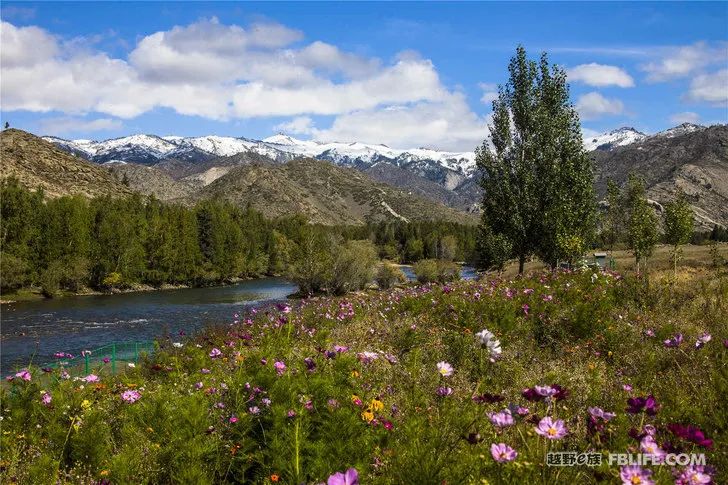
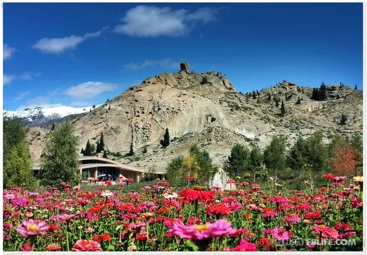
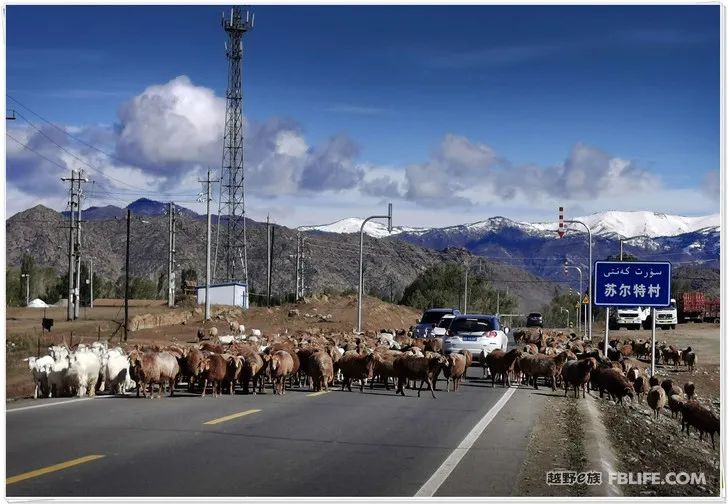
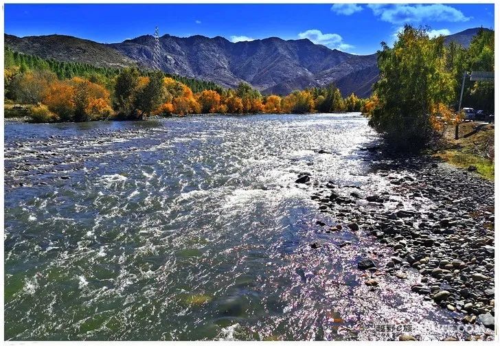
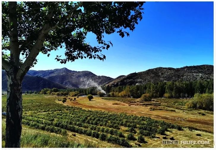
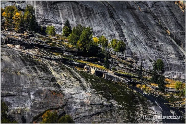
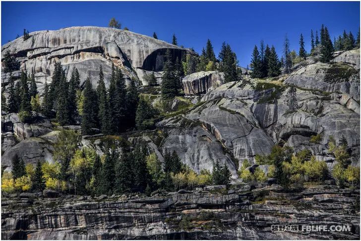
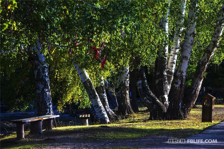
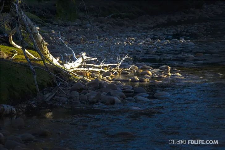
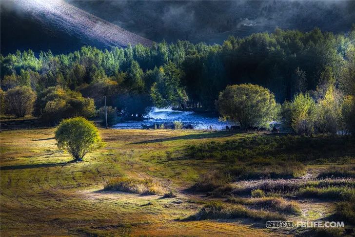
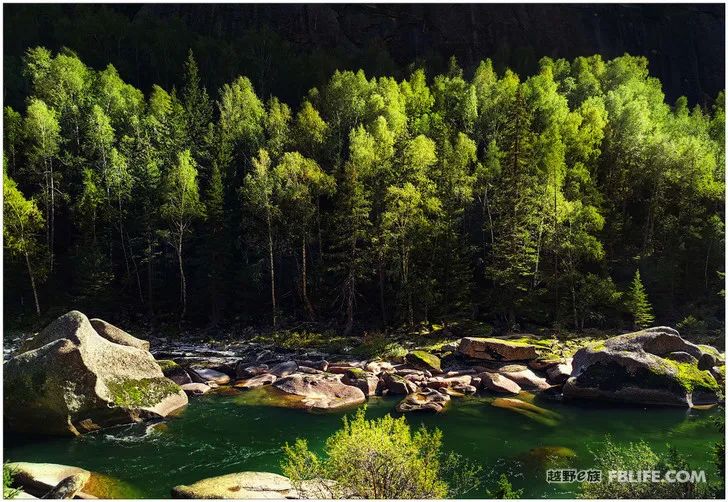
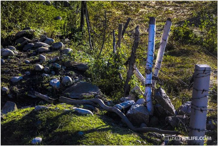
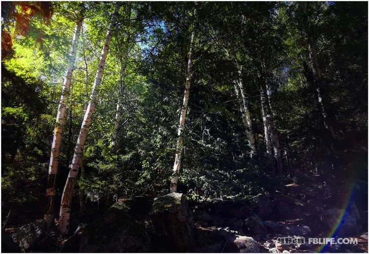
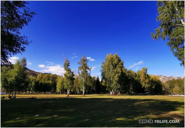
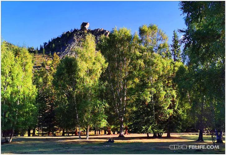
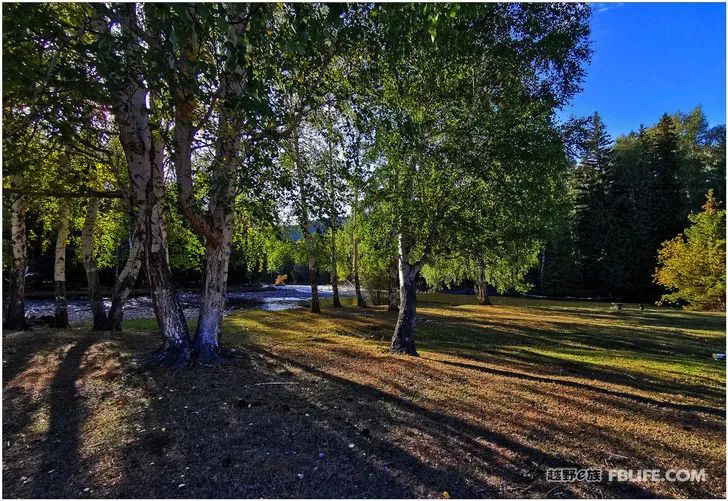
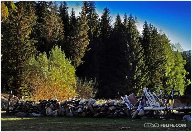
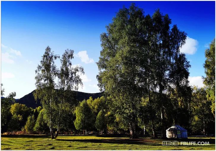
As for the many inheritances and cultural heritage of this scenic spot, there may not be too many people in Xuhui. When people travel to Keketuohai, they usually pass through the town (a small town full of Russian architecture and customs) to go to the Irtysh Grand Canyon. The total area of Keketuohai Scenic Area is 788 square kilometers. She is established by the “World Earthquake Museum” “—Karashanger Earthquake Fault Zone, Kekesuli Scenic Area known as “Northern Jiangnan”, Yiremu Lake “China’s Second Cold Pole” and the famous Irtysh Grand Canyon. But this trip to Keketuohai felt the worst. There should have been a lot of content, but I took few photos. When entering the scenic area, take a tour bus first, and the long forest roads pass by in front of you. You can’t get off the bus looking at the beautiful scenery outside, and you can’t get out of the car! It takes a long time to take the car to pull you in front of a big stone peak (Shenzhong Mountain). At the end of the car, people come down to take pictures. Going further in is the ditch. It should be said that the ditch is very deep, but no one is driven Go too far. Then I went back by car. There were several parking spots on the way back. You can get off the car to take pictures, or you can choose to walk down. I went down and walked a short distance, seeing that it was getting dark, I quickly got into the car and came back. I took a little more photos of the outside of Keketuohai than the inside of the scenic spot, and there is no priority.
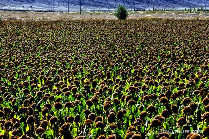
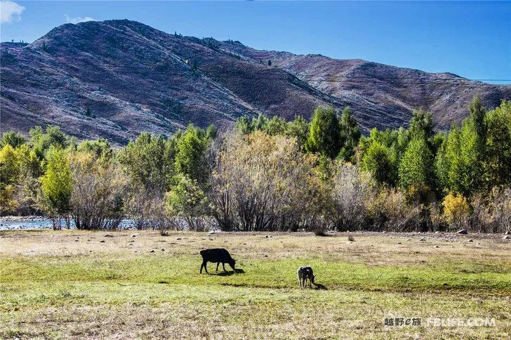
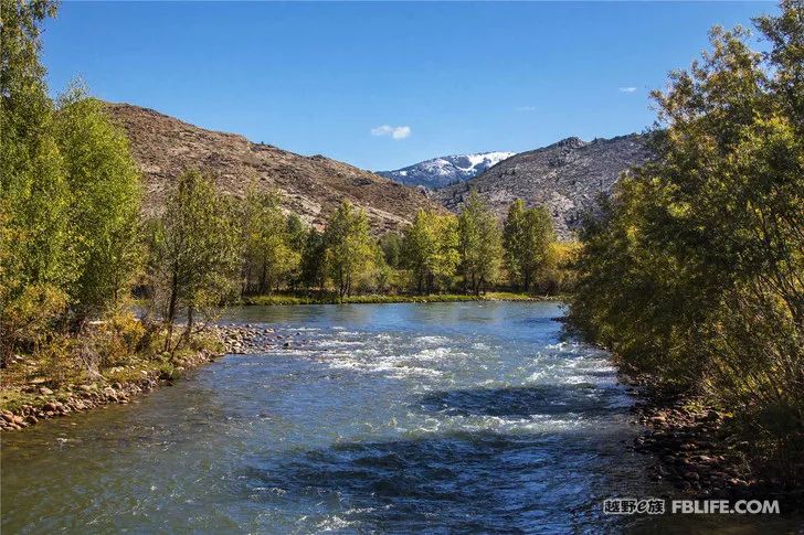
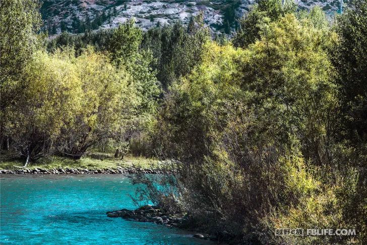
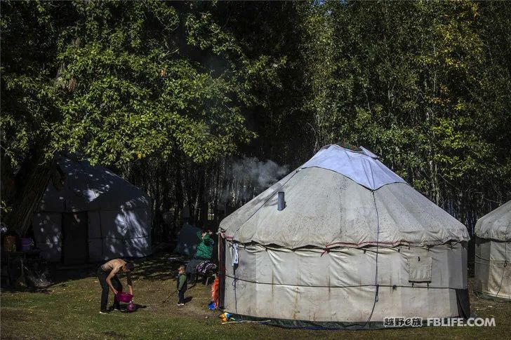
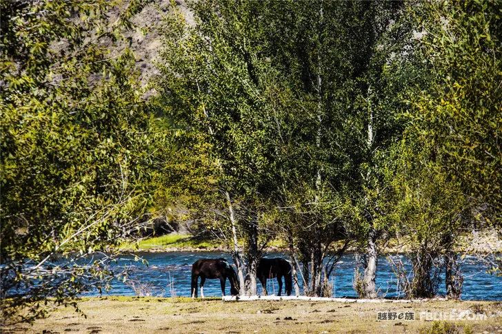
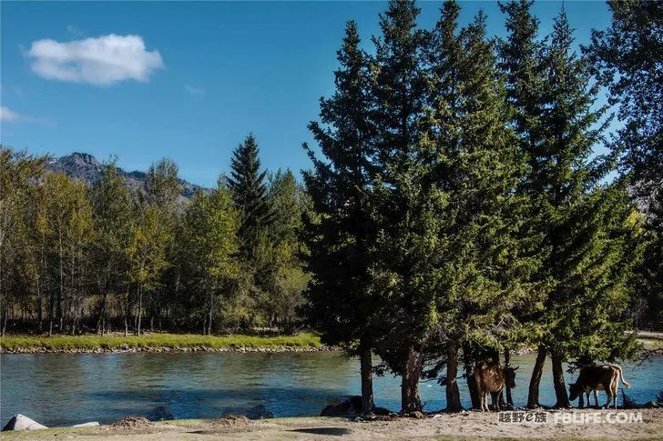
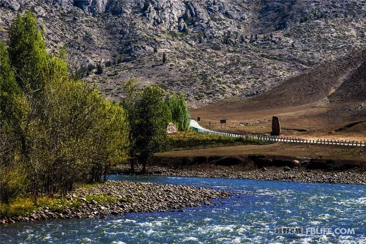
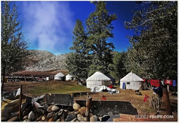
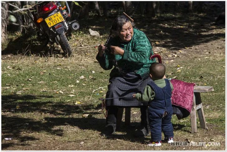
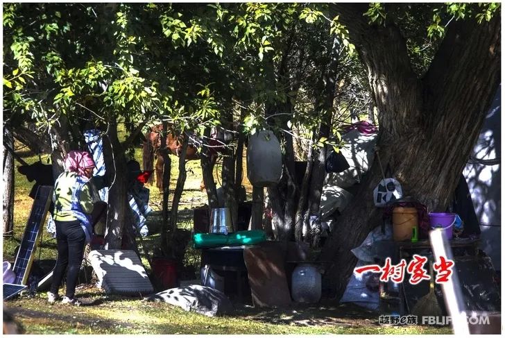
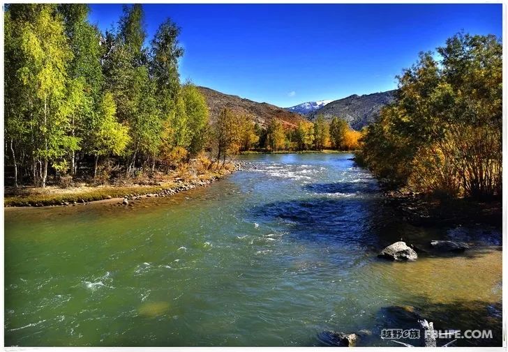
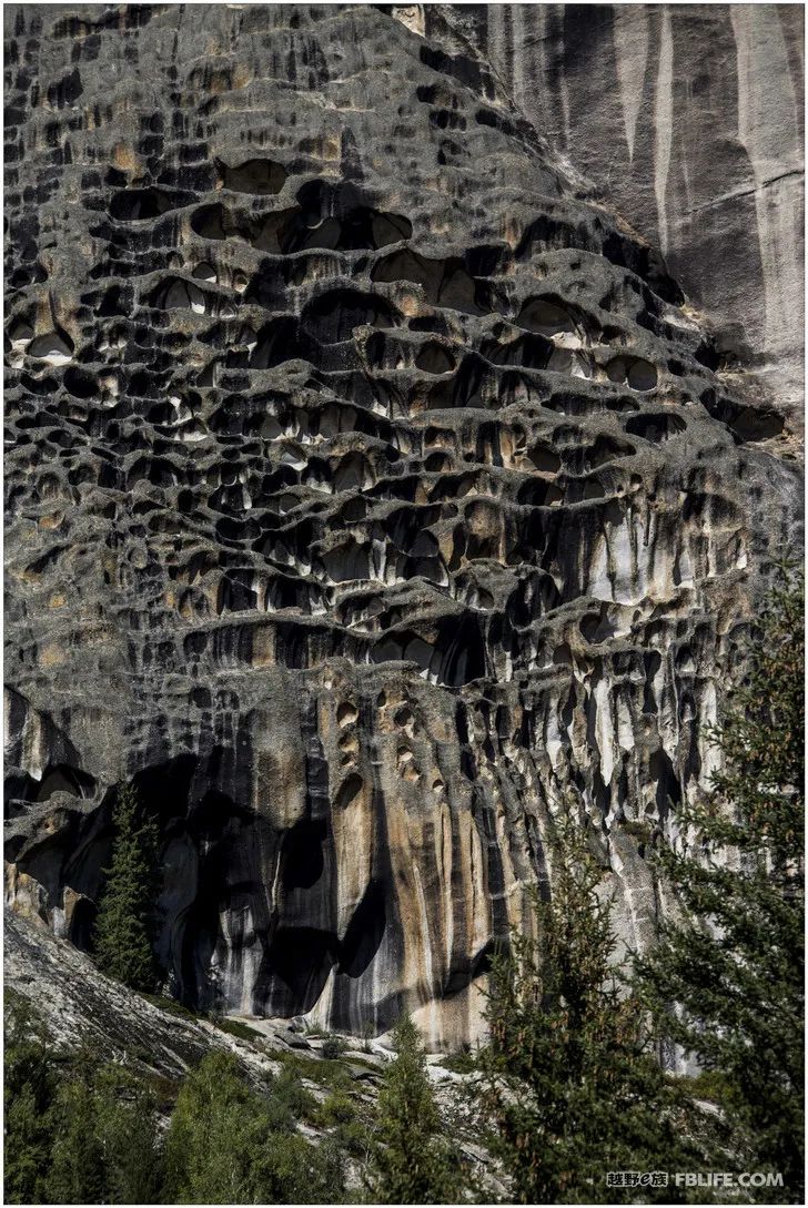
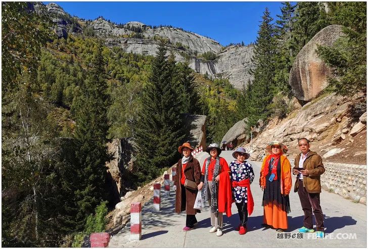
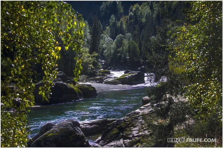
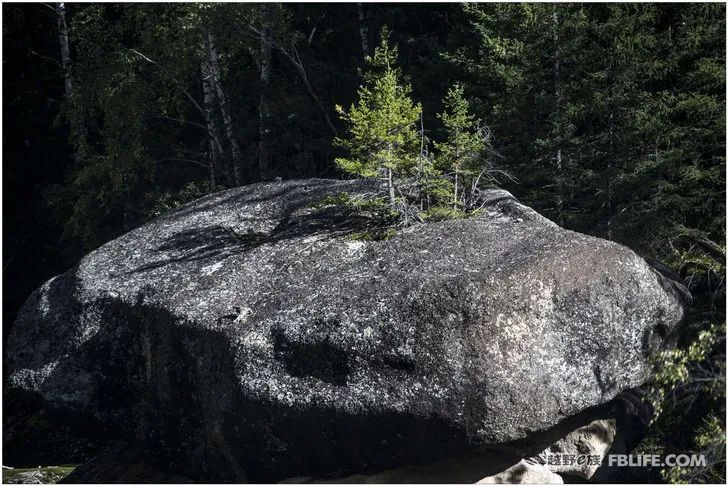
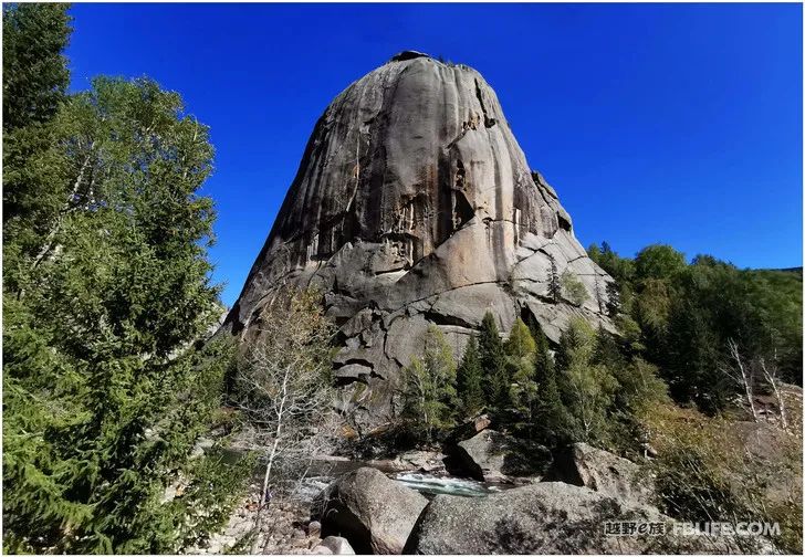
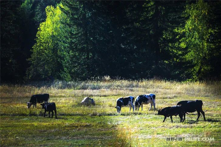
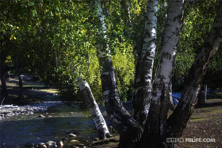
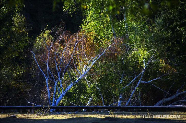
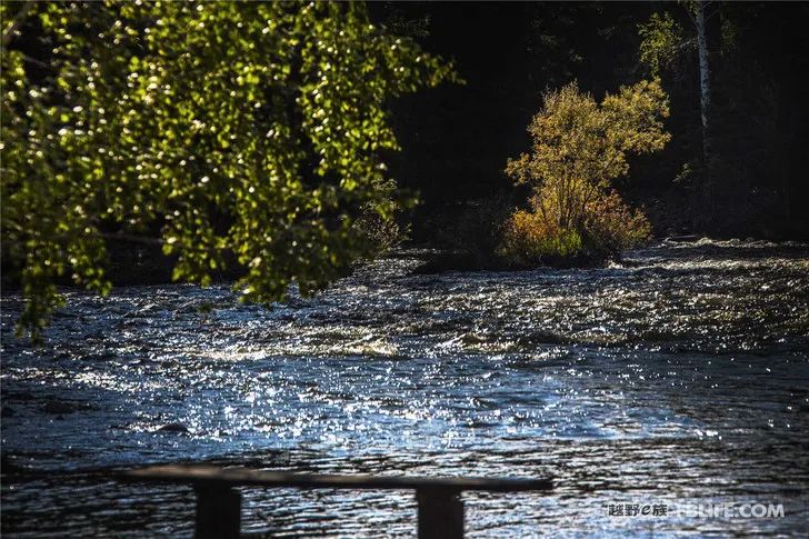
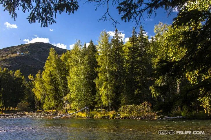
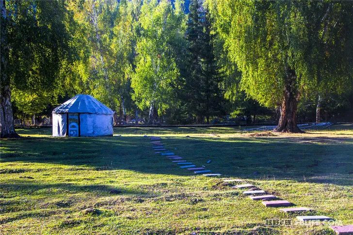
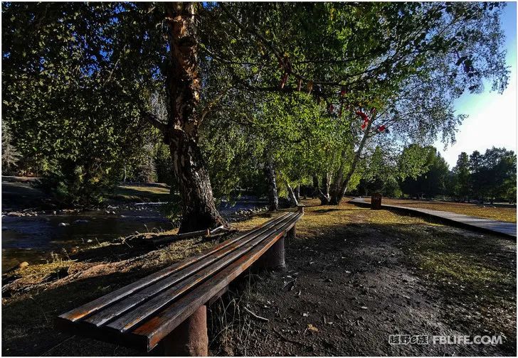
On the way to Burqin
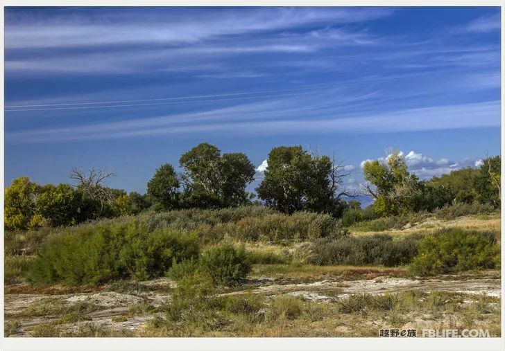
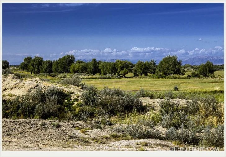
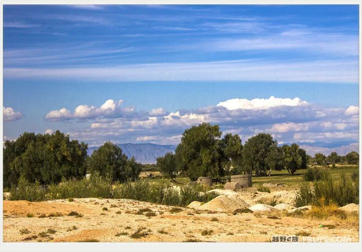
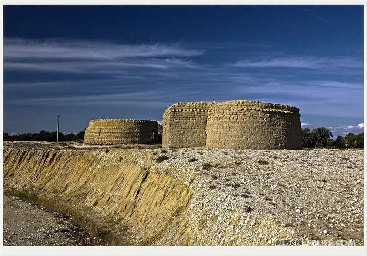
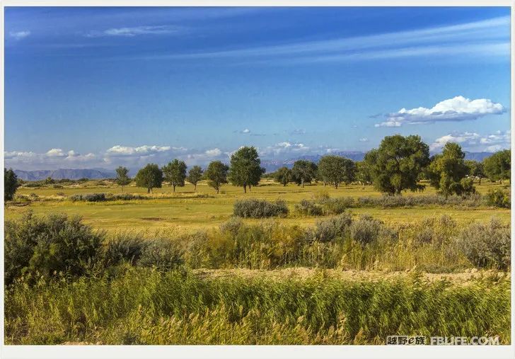
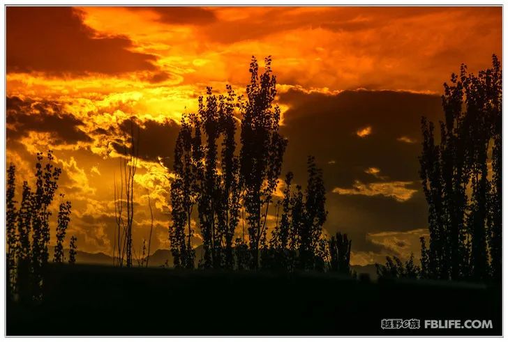
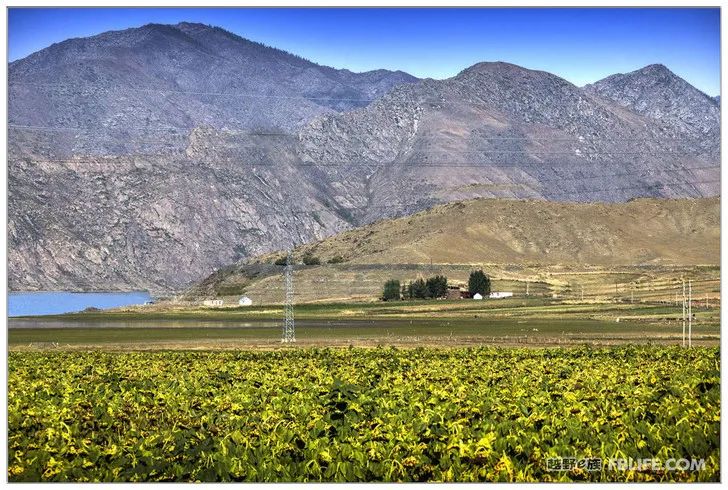
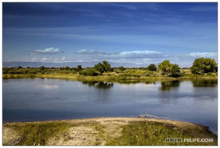
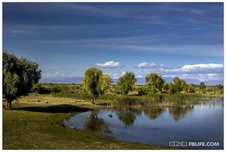
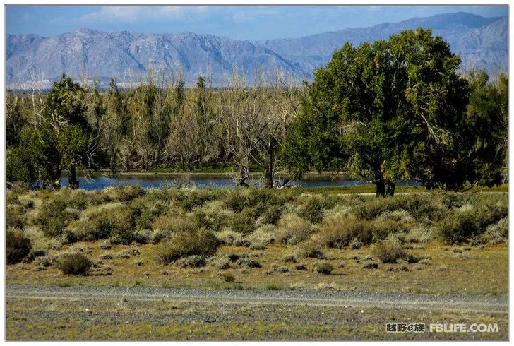
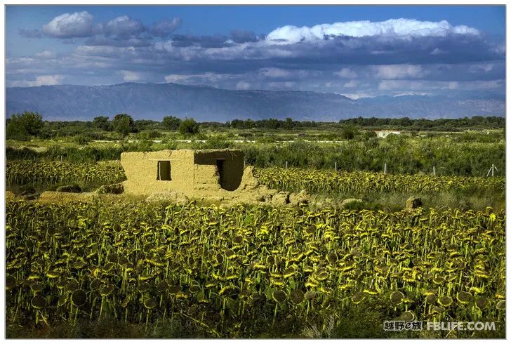
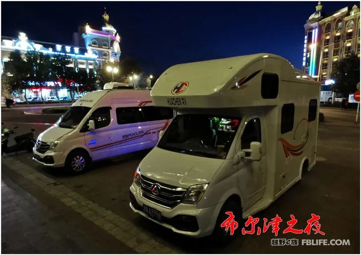
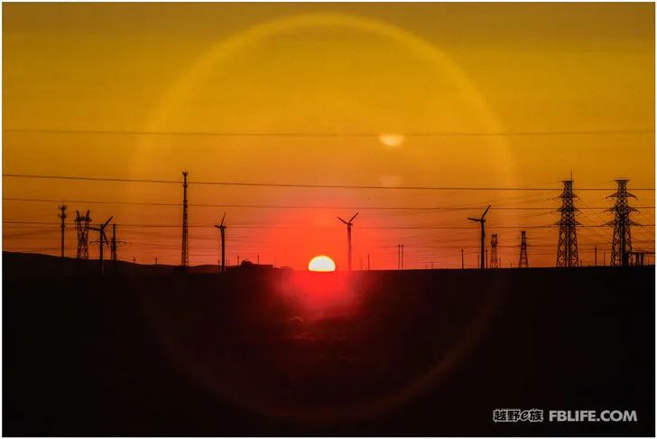
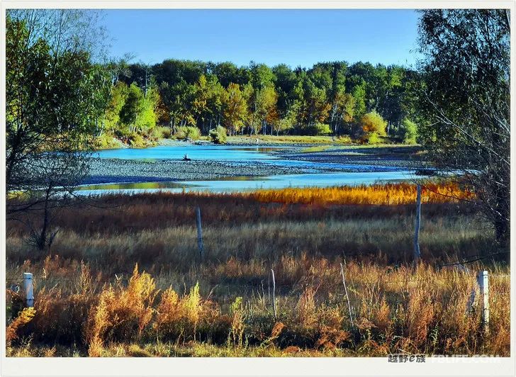
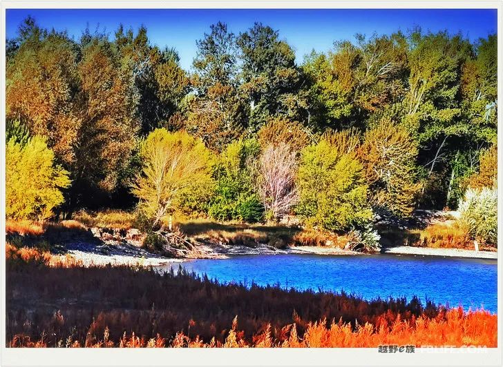
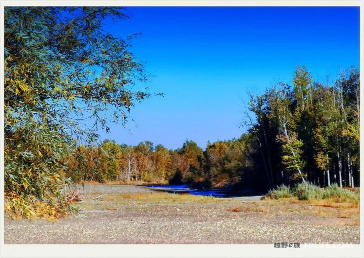
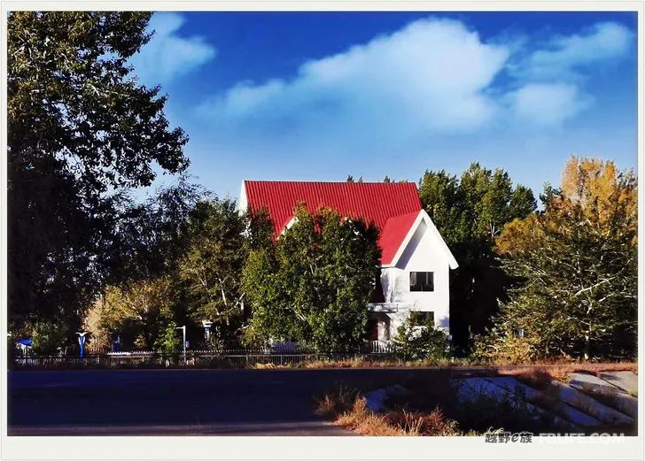
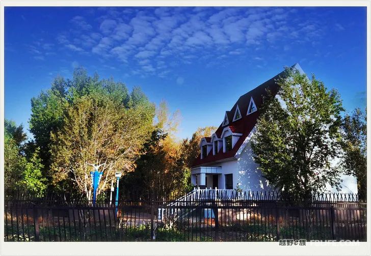
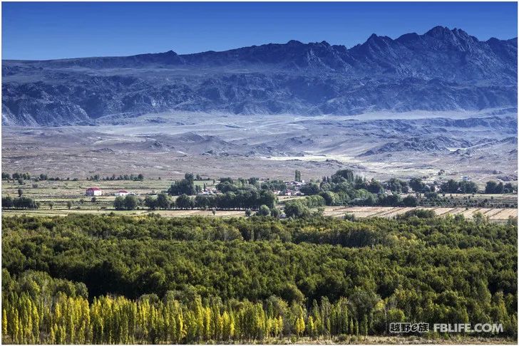
It is not too far from Keketuohai to Burqin, a one-day journey. Along this road, there is always the Irtysh River far or near, and you can always see the forests, thorn grass, puddles and wetlands by the river. Where there is water, there is vitality, there are continuous crops, there are dense trees, there are beautiful houses, there are people, livestock, and scenery… I should go to Altay, but we didn’t go, I don’t know if it is right or not. The cooking gas tank in the caravan was almost out of gas. We walked to Bei’an City and found a gas filling station in a very remote corner. On behalf of, the conversation is very close! He told us that we don’t need to turn to Altay to go to Burqin, and we will go straight down. Burqin is an important city in the Xinjiang tourism route, and it is also a must-visit city for many people who go to northern Xinjiang. The city is famous and prosperous because of tourism. When night falls, the lights come on, and people and cars pass by on the street. The steeple building full of Russian scenery is exquisite and beautiful. There are luxury hotels and high-end hotels everywhere on the street, and the accommodation is often full. The most lacking thing in the city is the gas station. We only saw one, and there was a long line of sedans for refueling from daytime to late night. We parked at an intersection, blocking the entrance of a restaurant, and the boss was nice and easy to talk to.
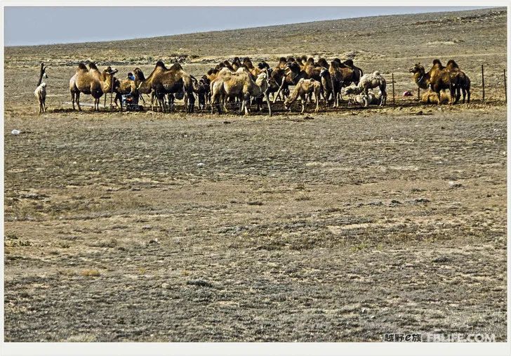
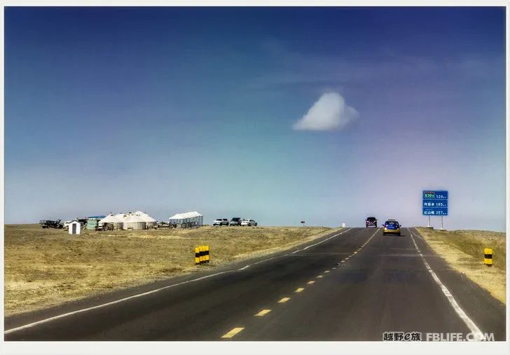
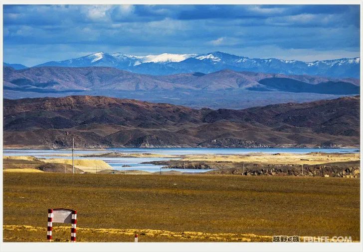
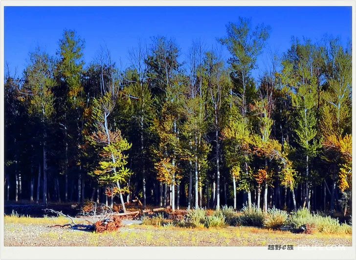
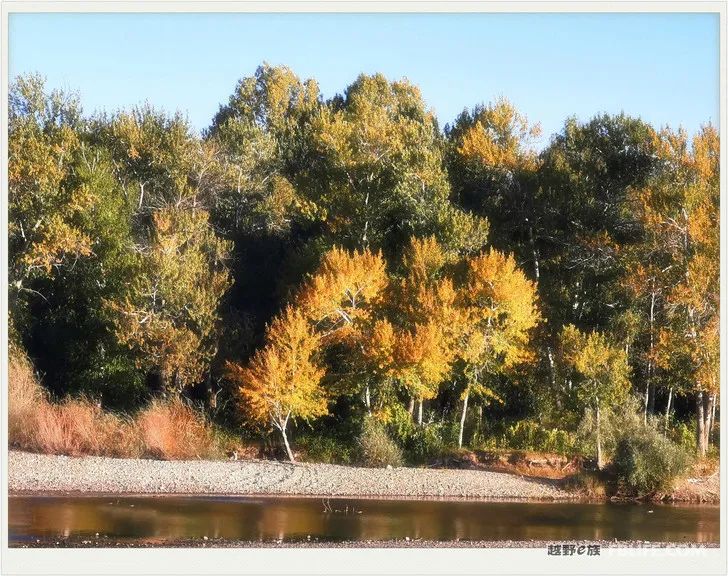
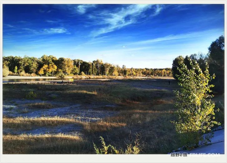
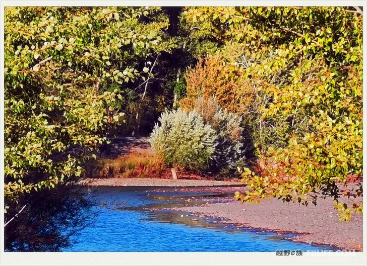
On the way to Kanas
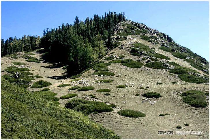
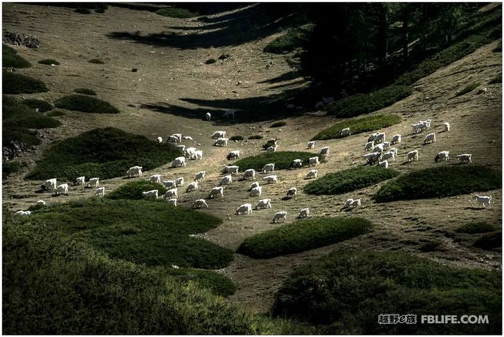
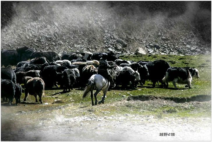
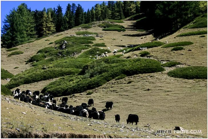
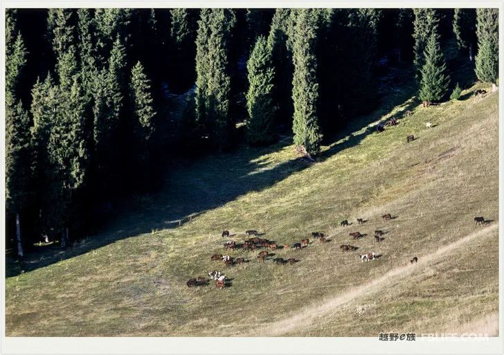
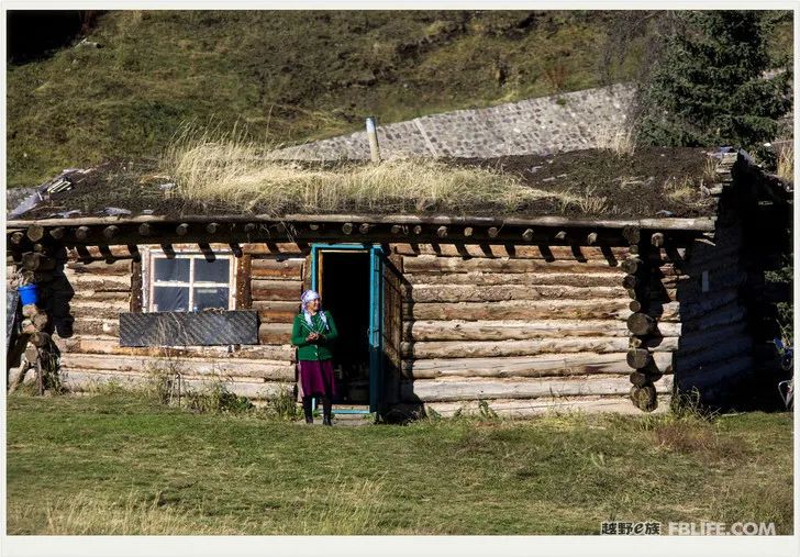
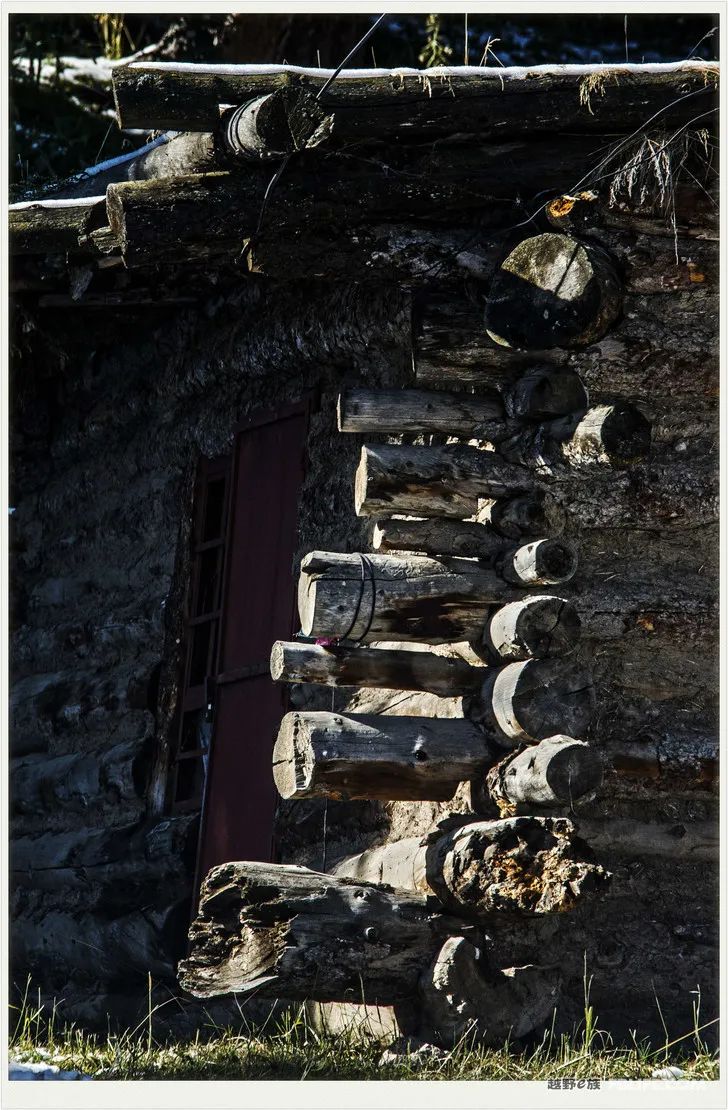
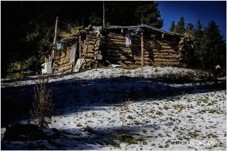
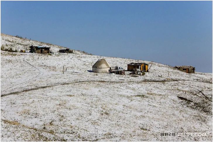
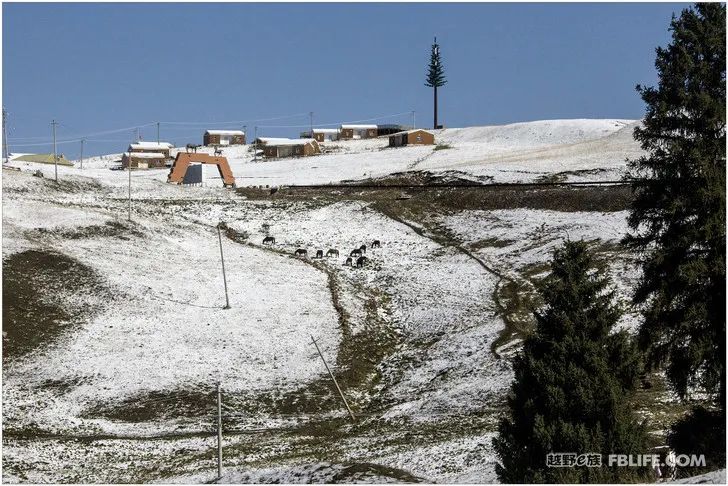
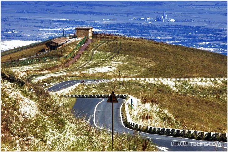
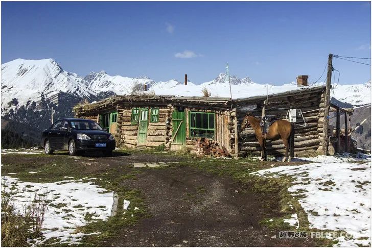
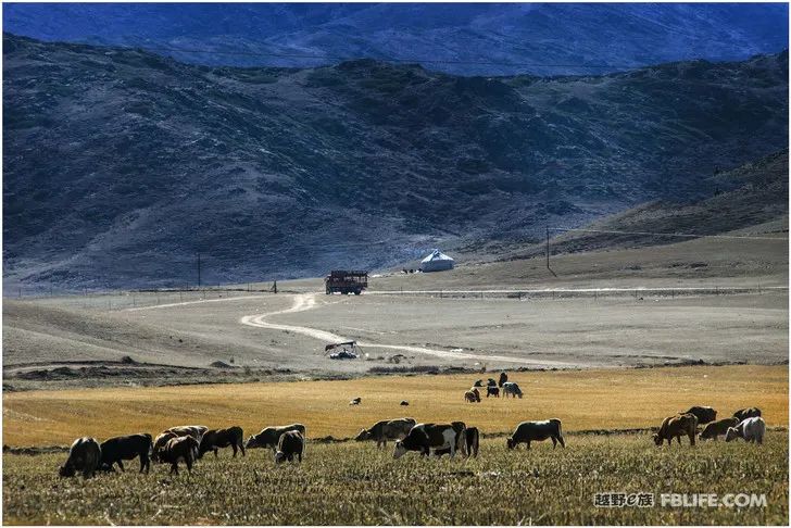
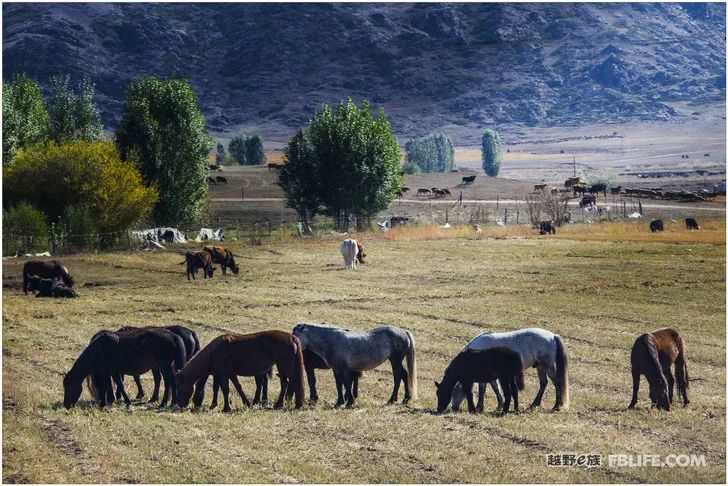
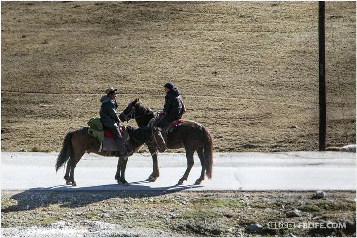
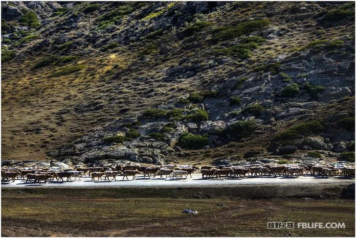
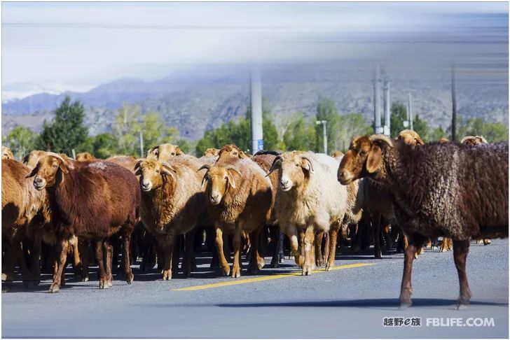
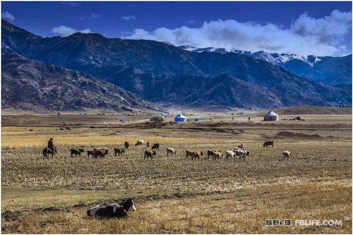
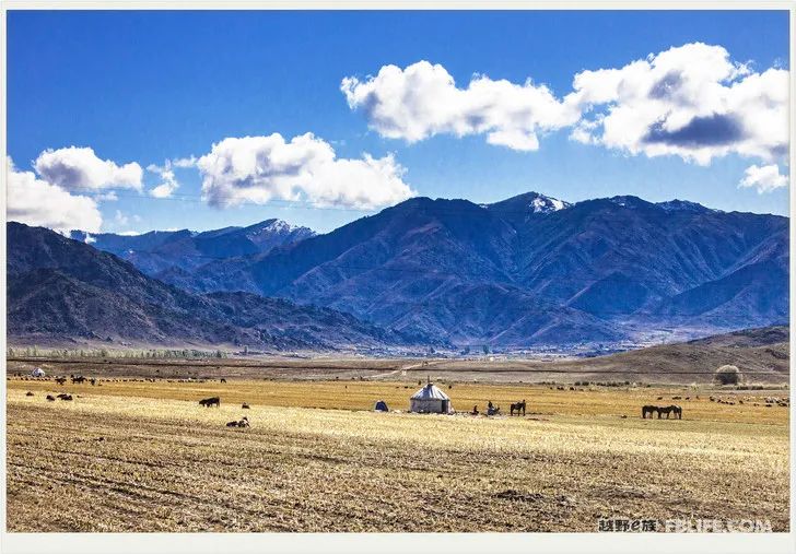
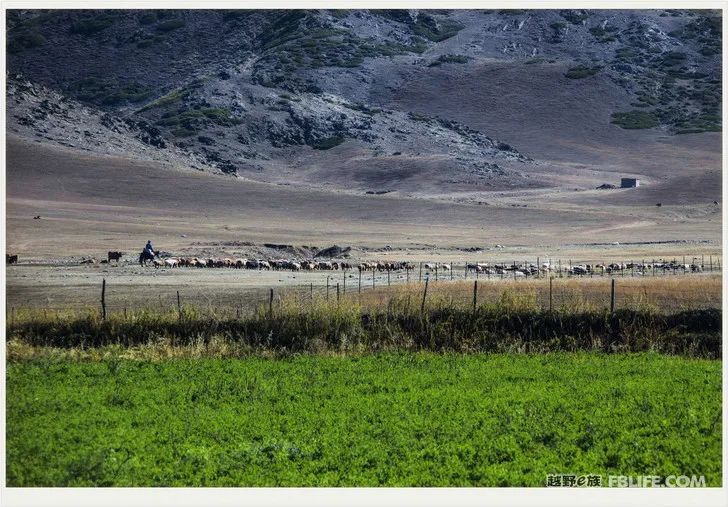
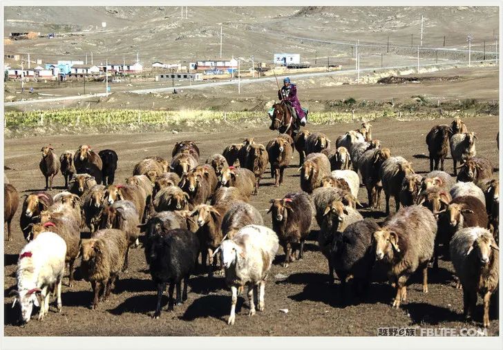
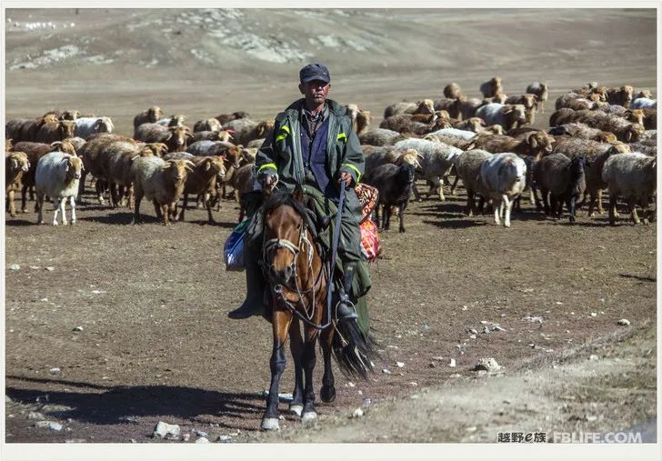
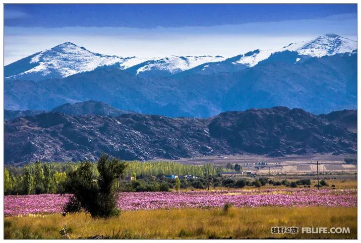
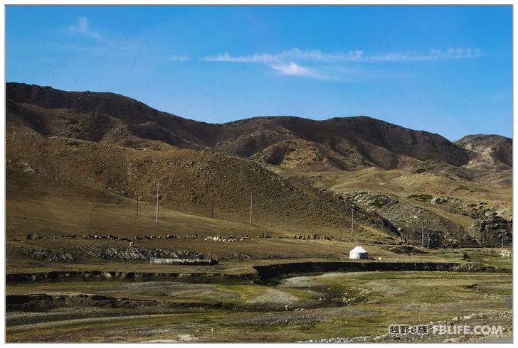
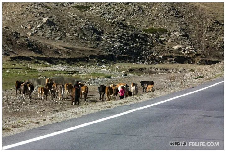
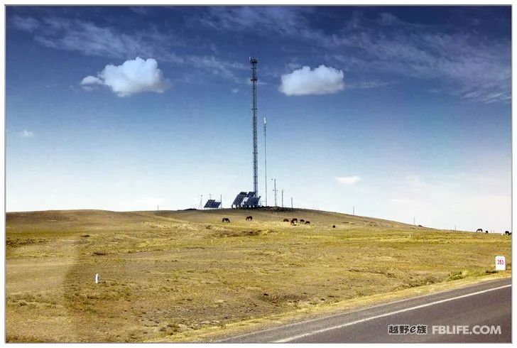
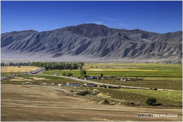
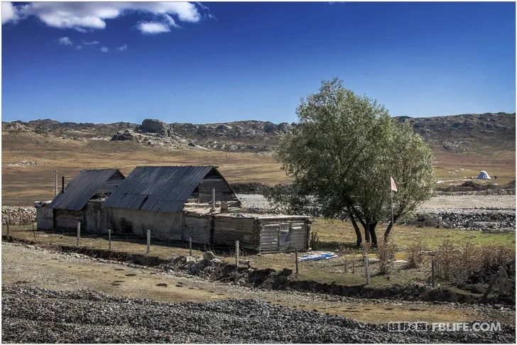
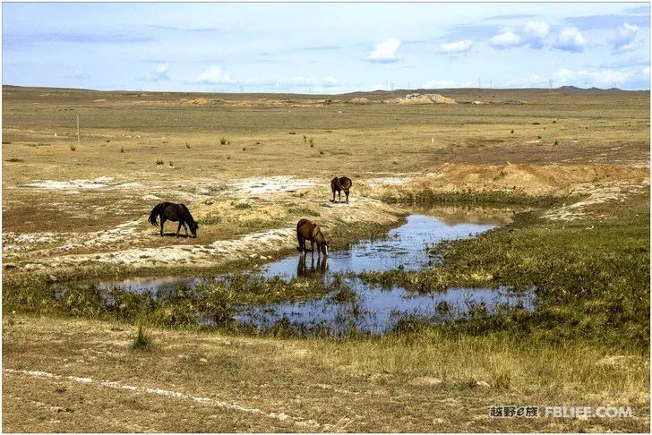
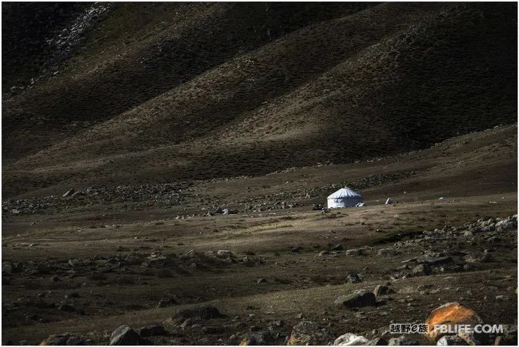
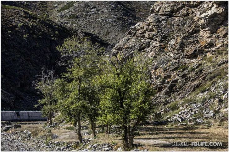
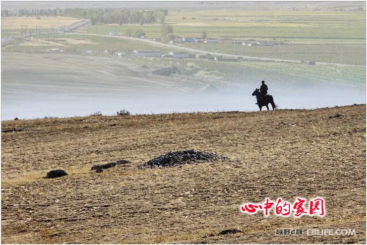
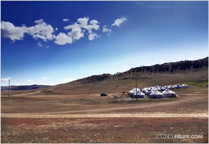
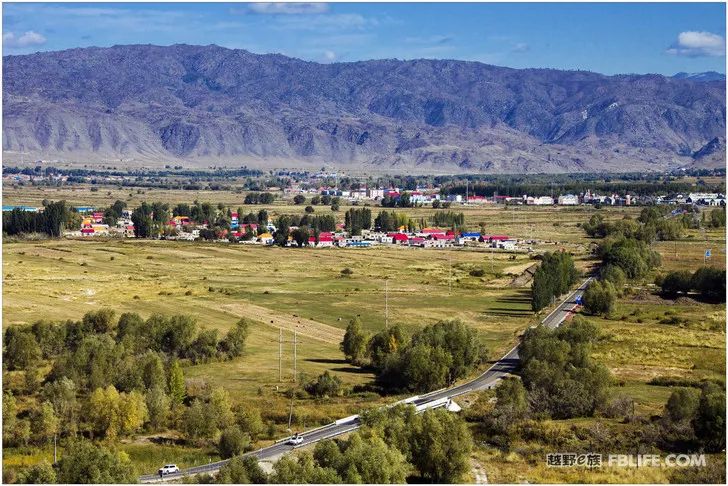
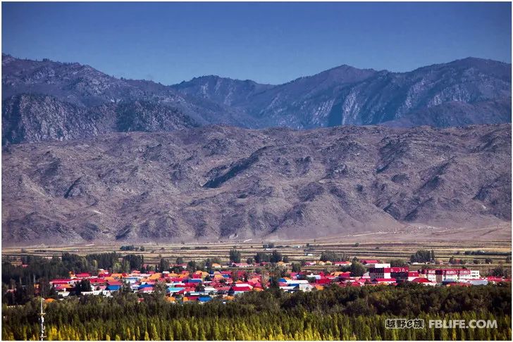
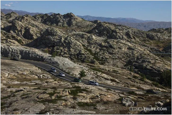
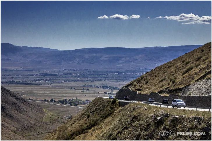
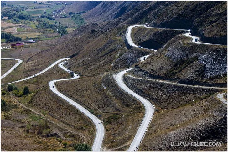
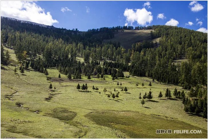
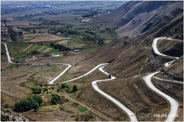
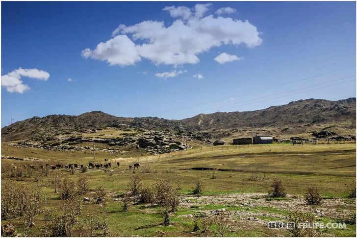
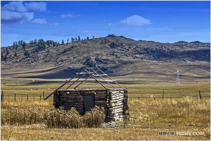
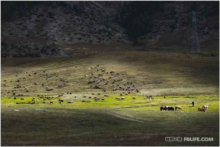
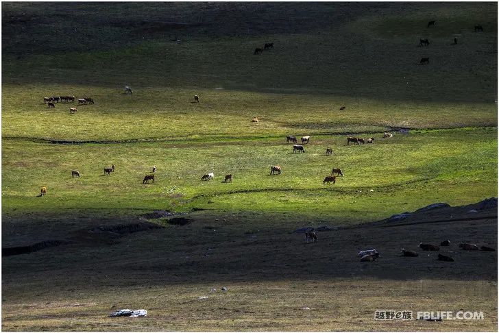
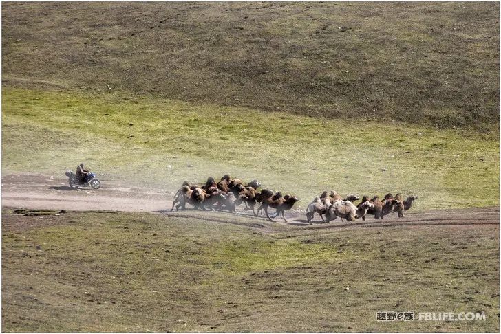
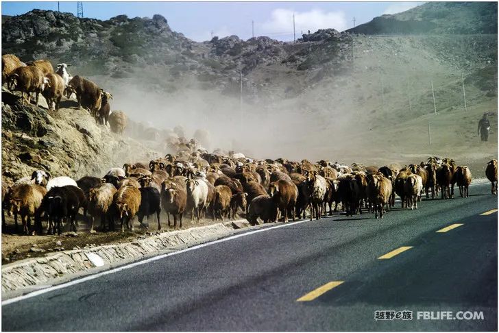
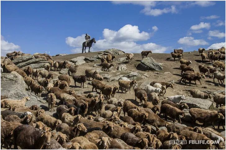
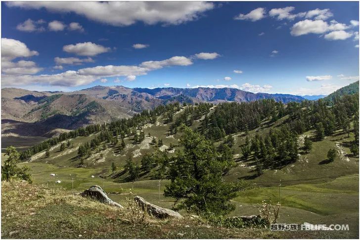
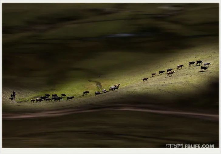
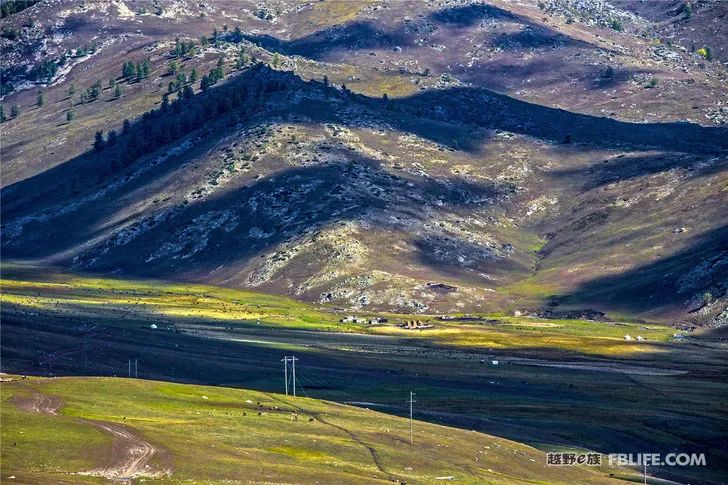
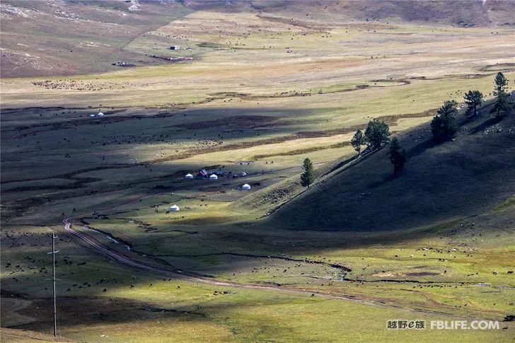
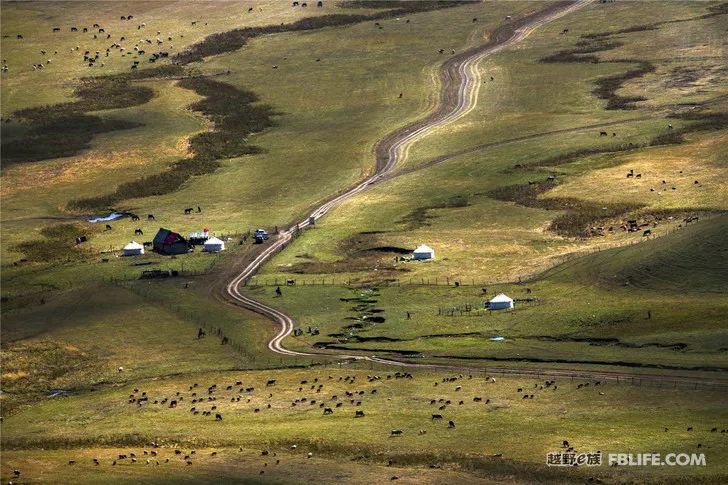
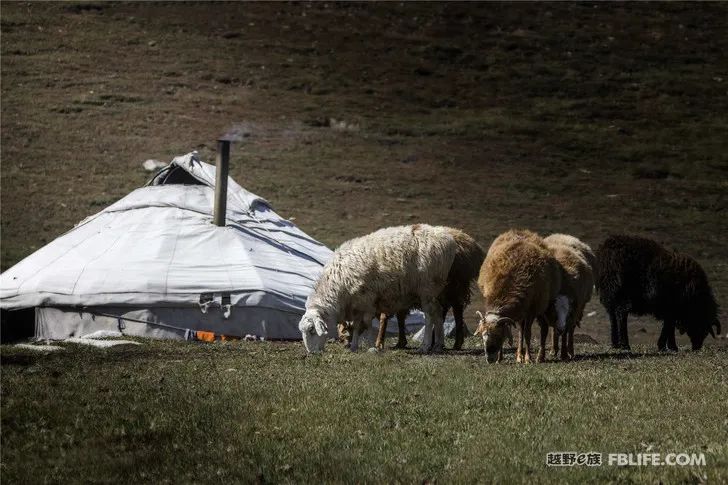
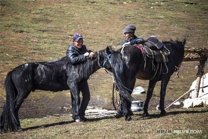
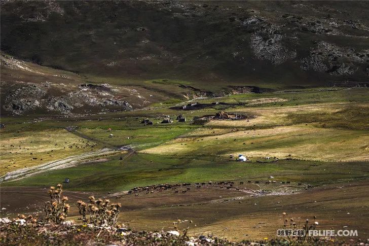
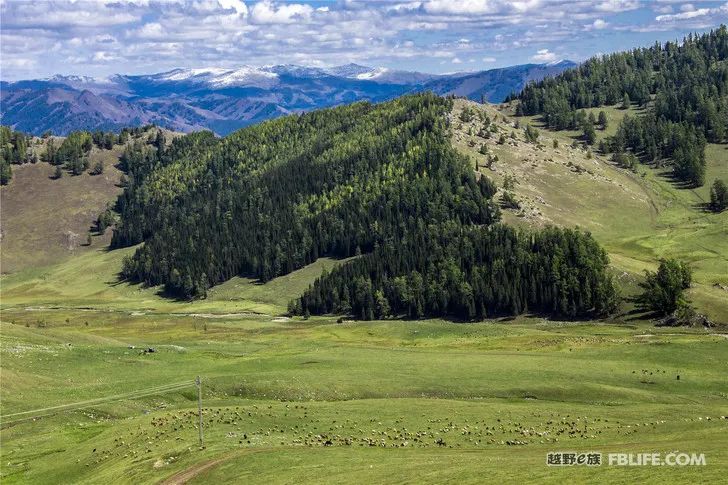
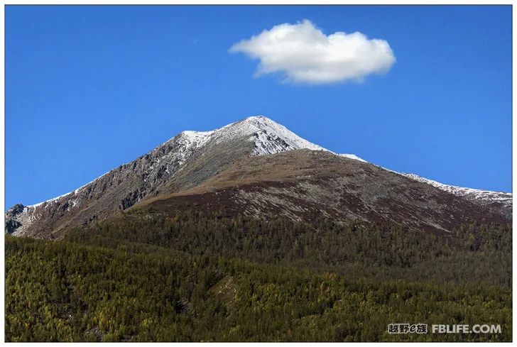
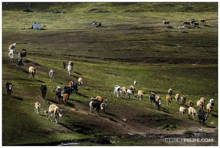
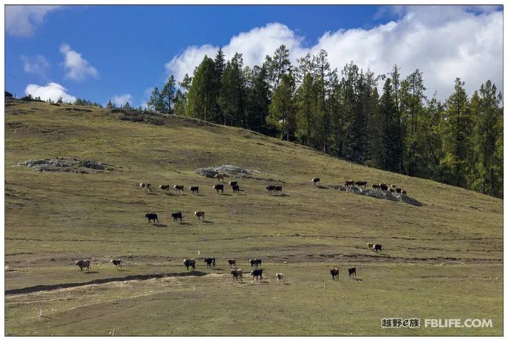
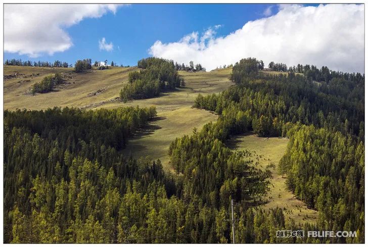
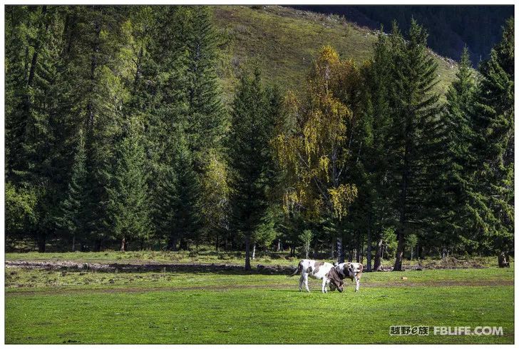
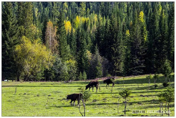
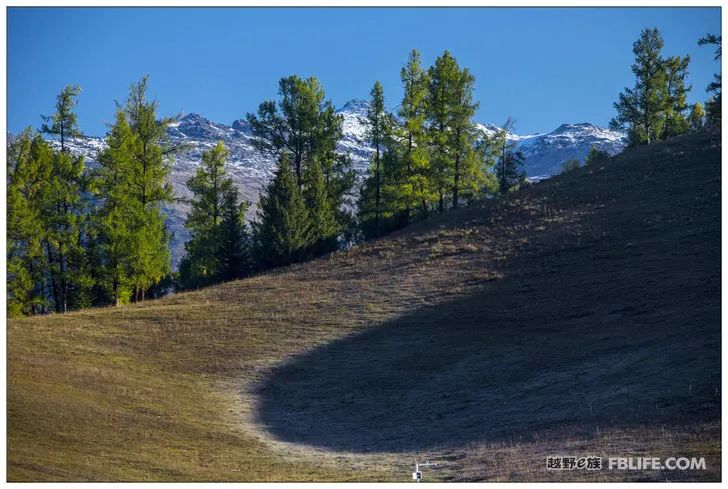
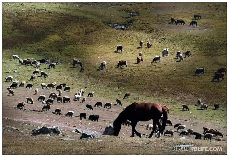
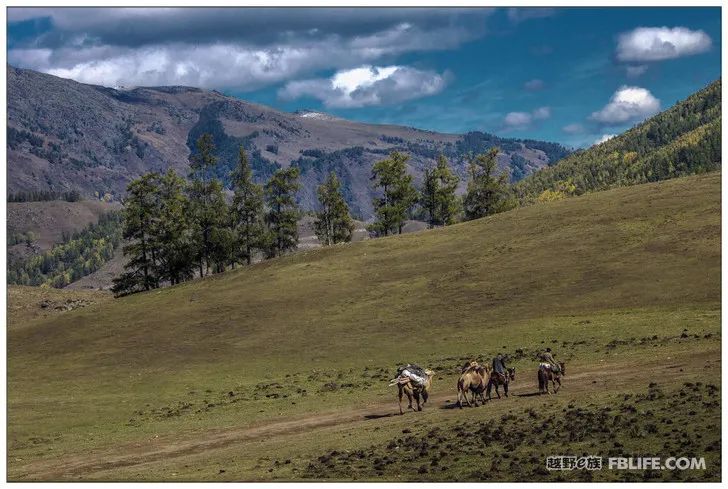
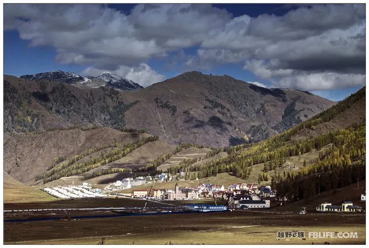
There is no mountain in Burqin. It is a big mountain after walking a long way out of the city. It is a very strange mountain, and the strange rocks are very beautiful. There is also a bustling town on the side of the mountain. Go again, pass the mountain, and the mountain becomes another mountain. There are wide pastures, herds, and lush forests on the roadside. Burqin is more than 100 kilometers away from Kanas, and there is always a speed limit, and it takes several hours to walk. Because we didn’t do our homework in advance, there is a colorful beach on the side of the Irtysh River very close to Burqin, which is a wonder, but even though we saw the signpost, we didn’t turn around and missed a good place. There are also small villages with Soviet-style buildings along the way, which are also eye-catching, but no photos are taken. After climbing the mountain, I was fascinated by the spacious grassland and the herds grazing!
[The content comes from the off-road e family community]
Author: Chen Xiling
Link: http://bbs.ucar.run/thread_14754438_1_1.html


